|
|
||
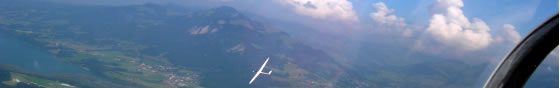
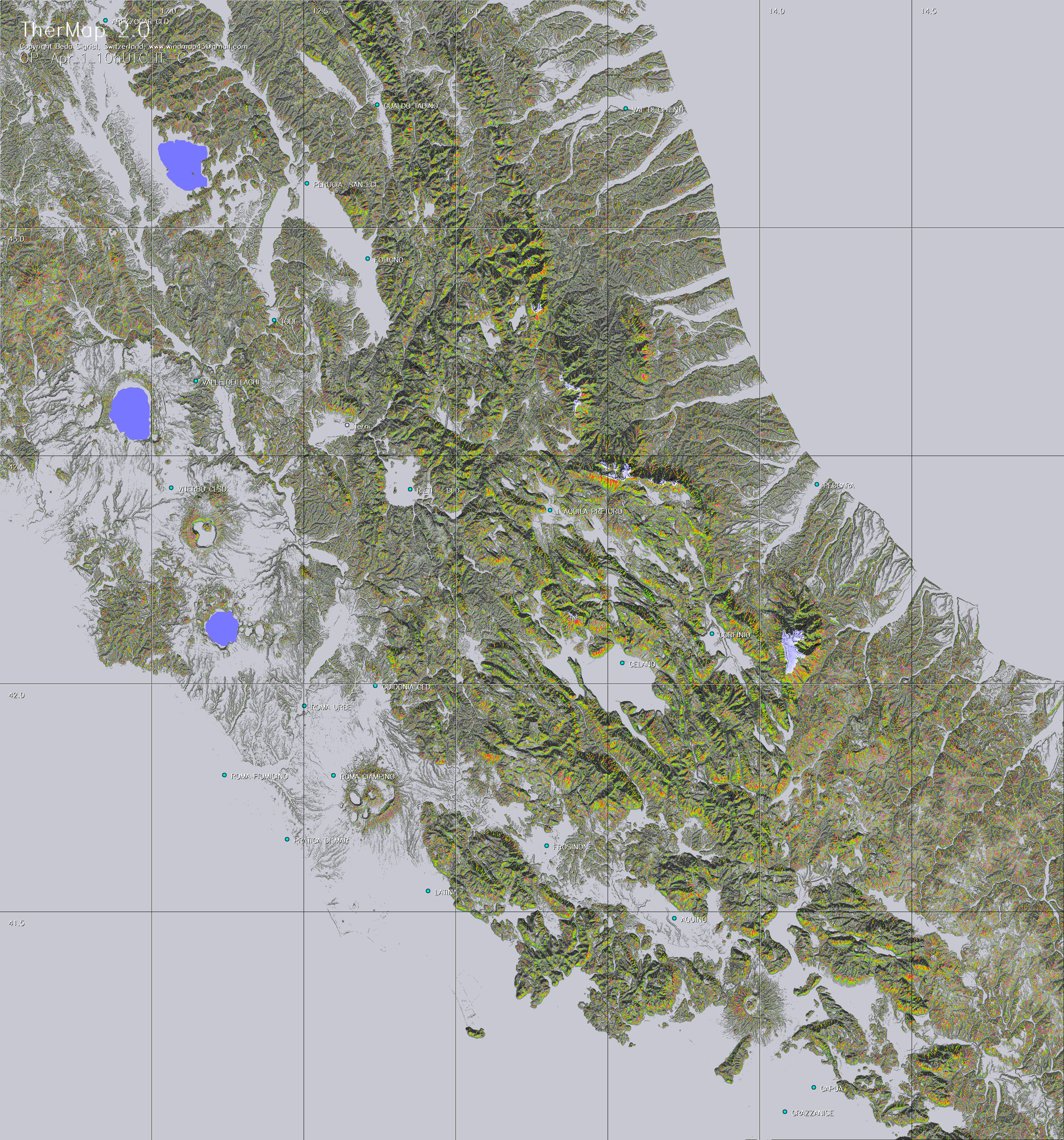
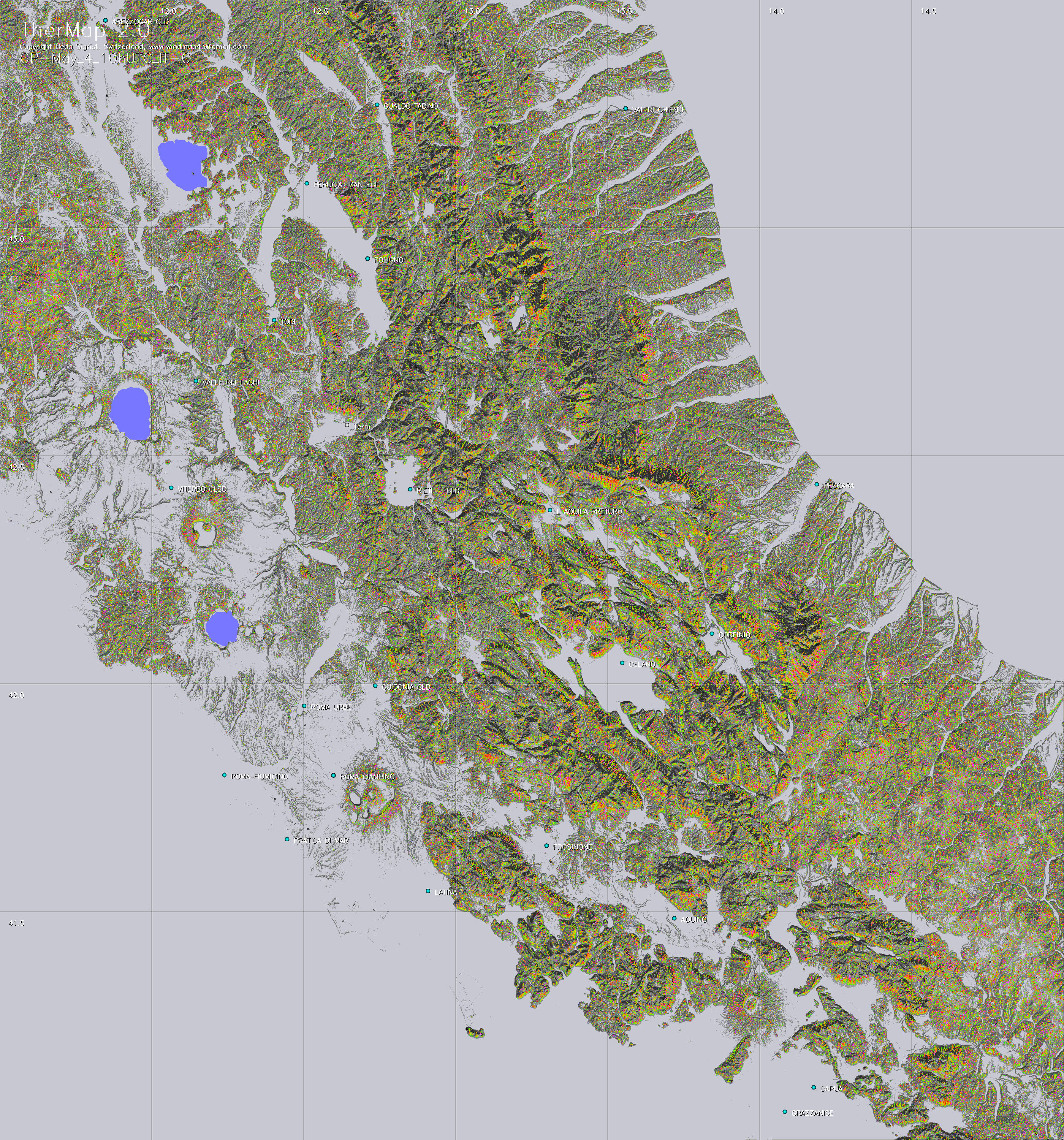
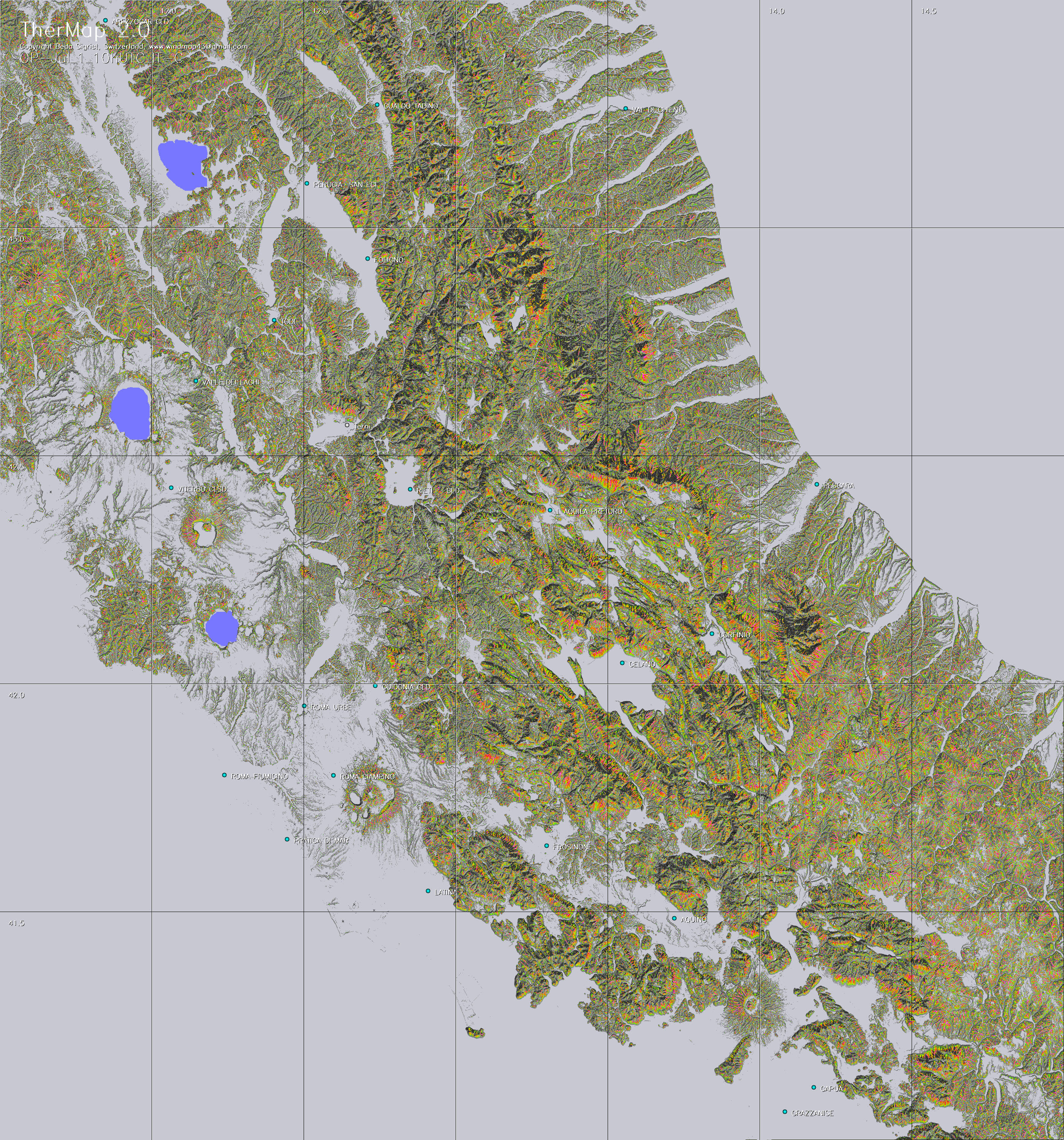
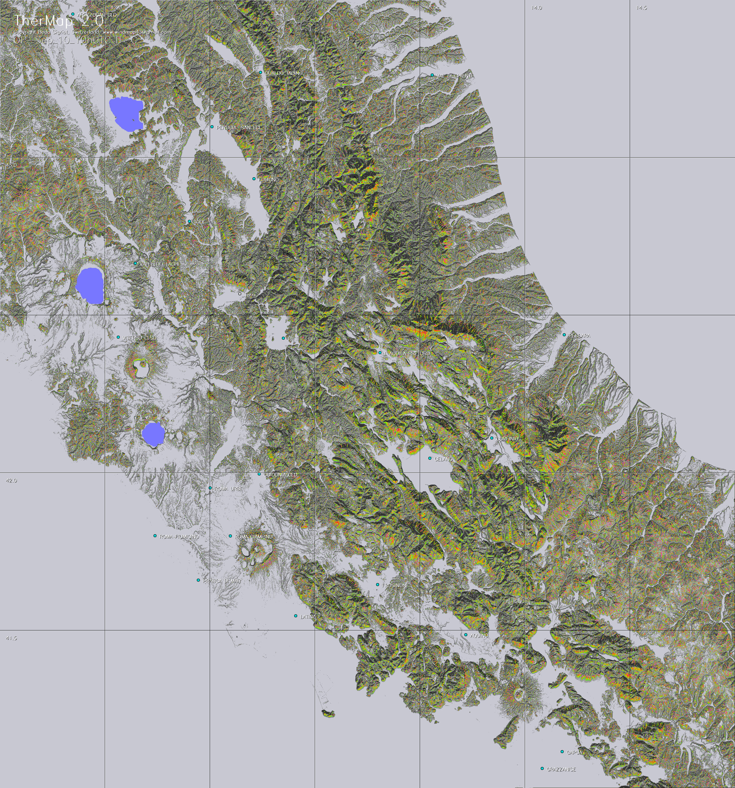
All maps of this collection are provided by the copyright holder solely as an informational tool for the planning of the best course of soaring flights. In particular, airports and landing places are indicated mainly for geographical reference without guarantees about their exact location and/or their operational conditions. These maps are not intended to be used for navigation. Pilots should independently confirm all information regarding airports and landing places and other information required for navigation, and obtain an official briefing before flight. In no event shall the copyright holder or the contributors be liable for any direct or consequential damages caused by incorrect, obsolete or missing graphical or written content.
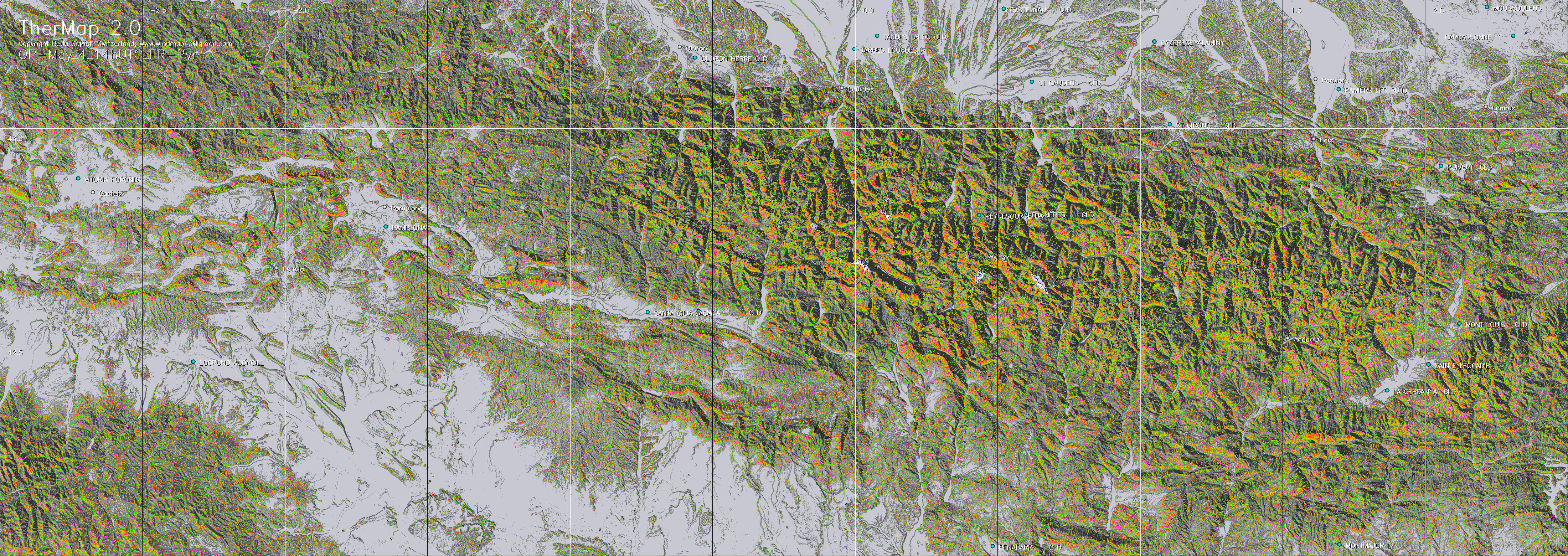
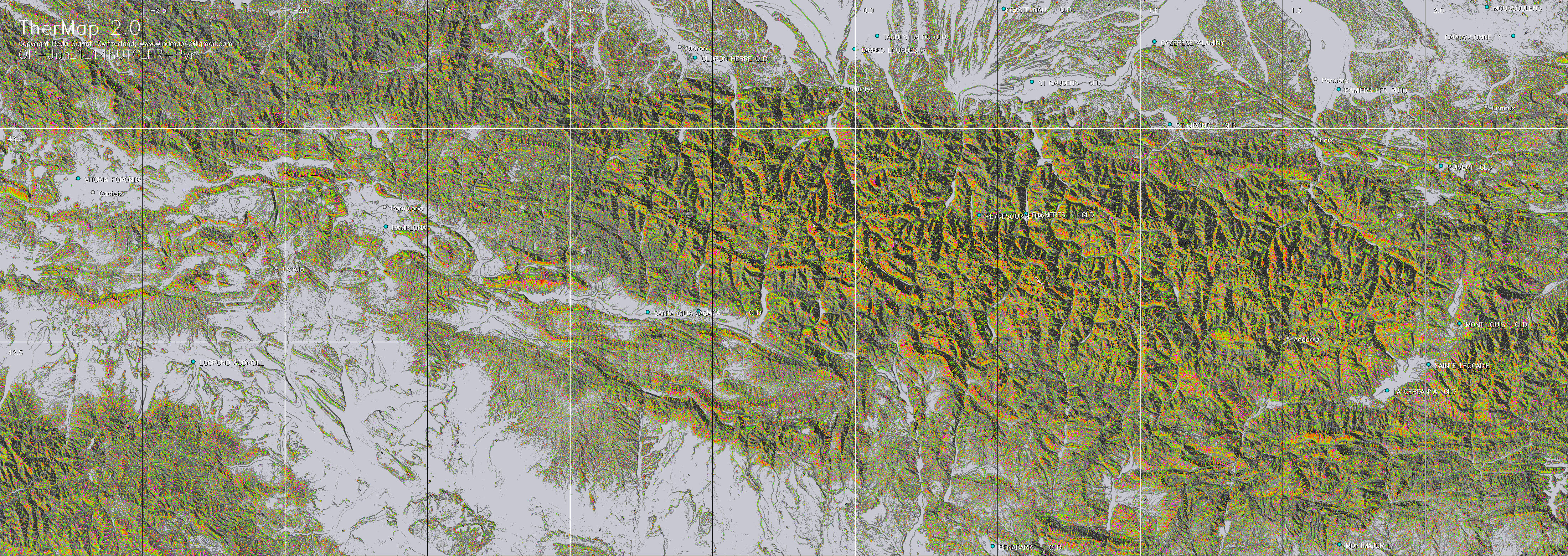
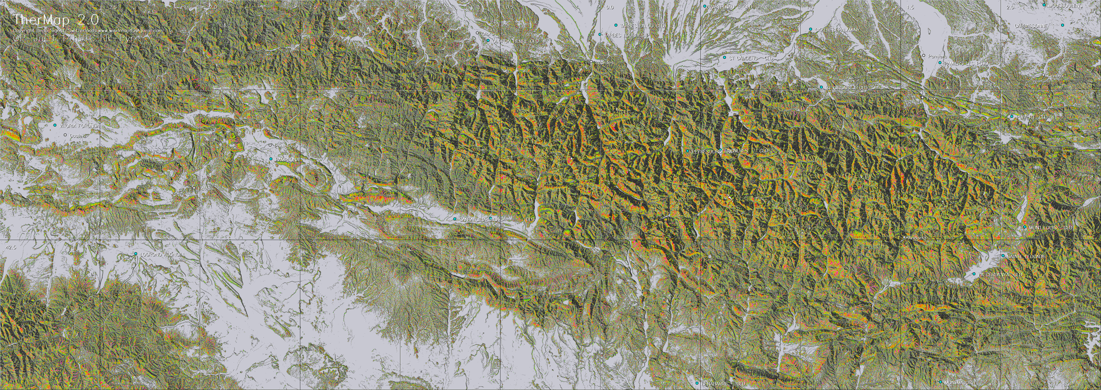
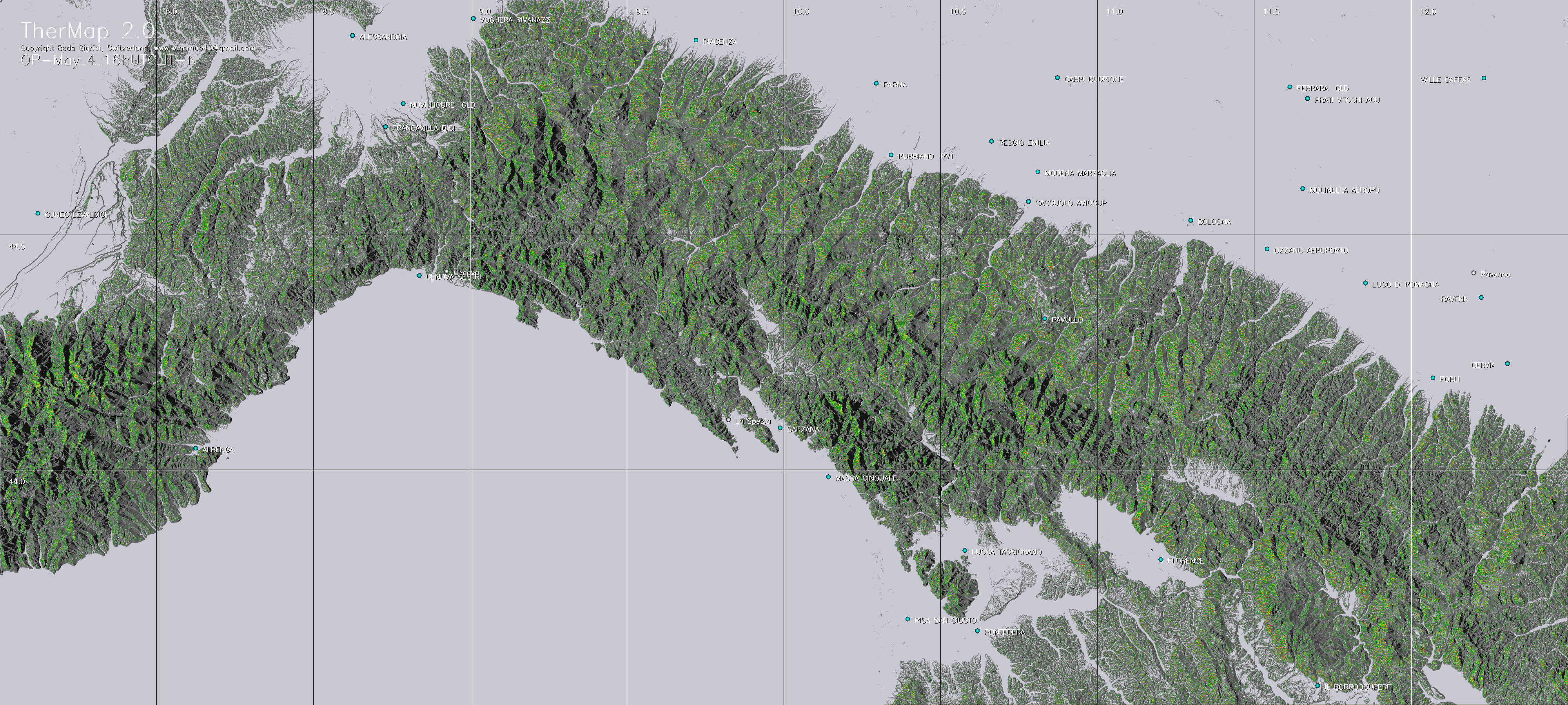
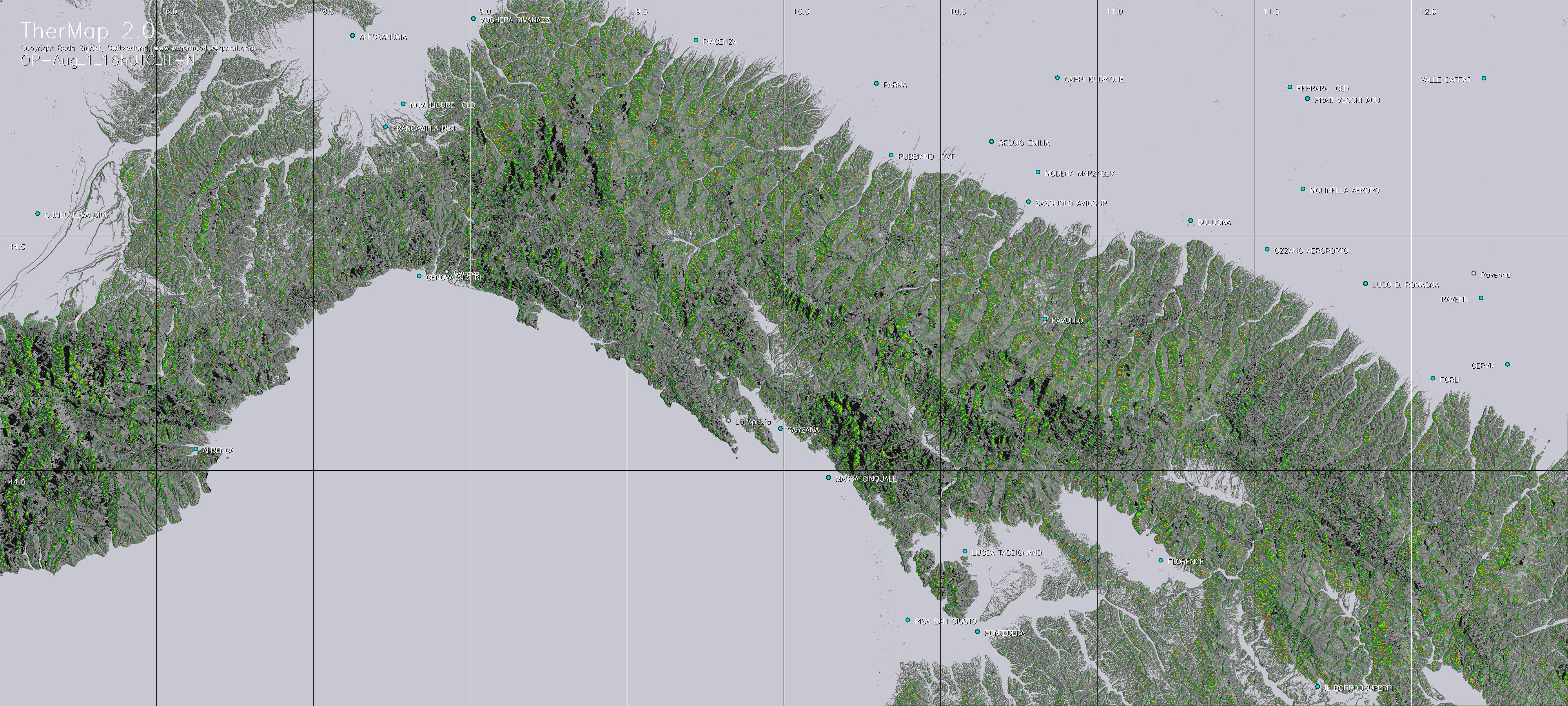
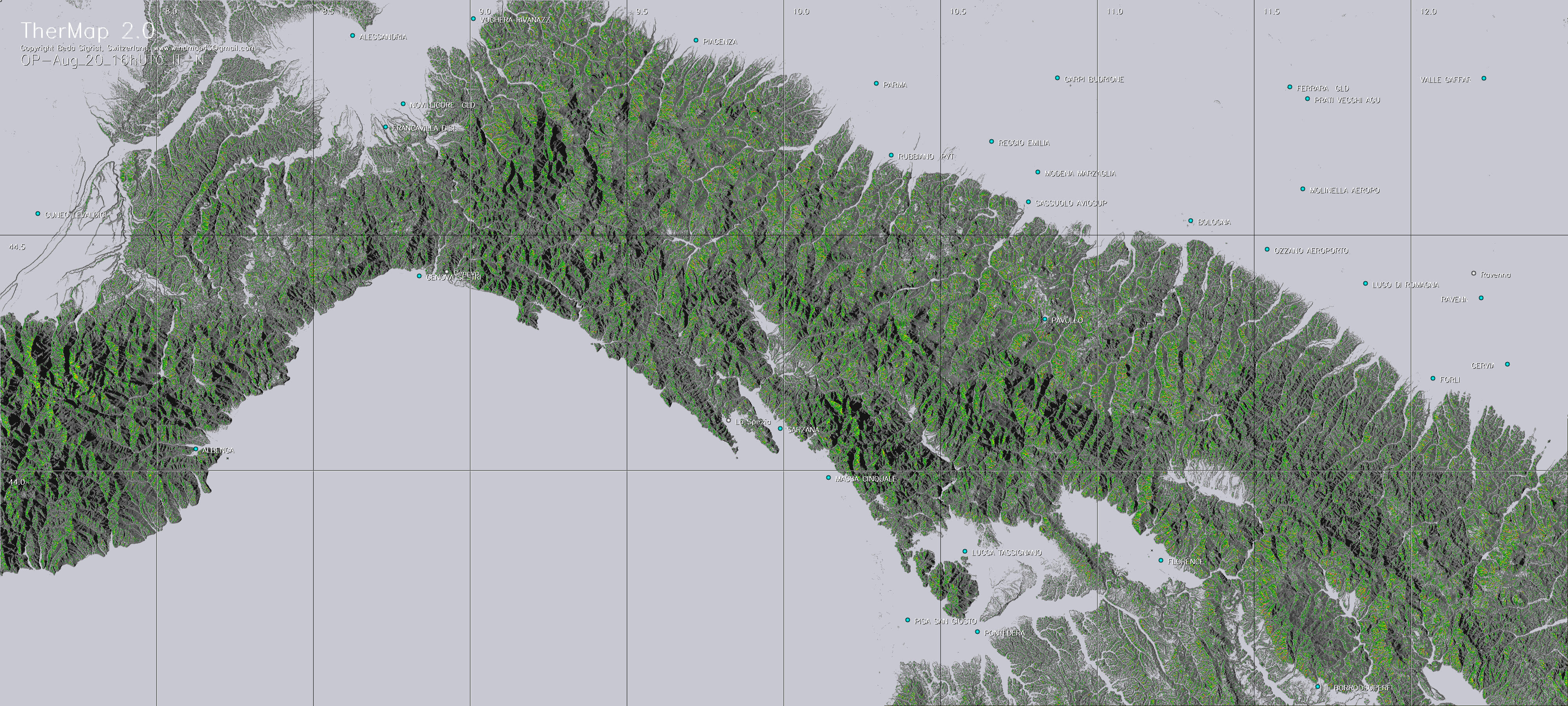
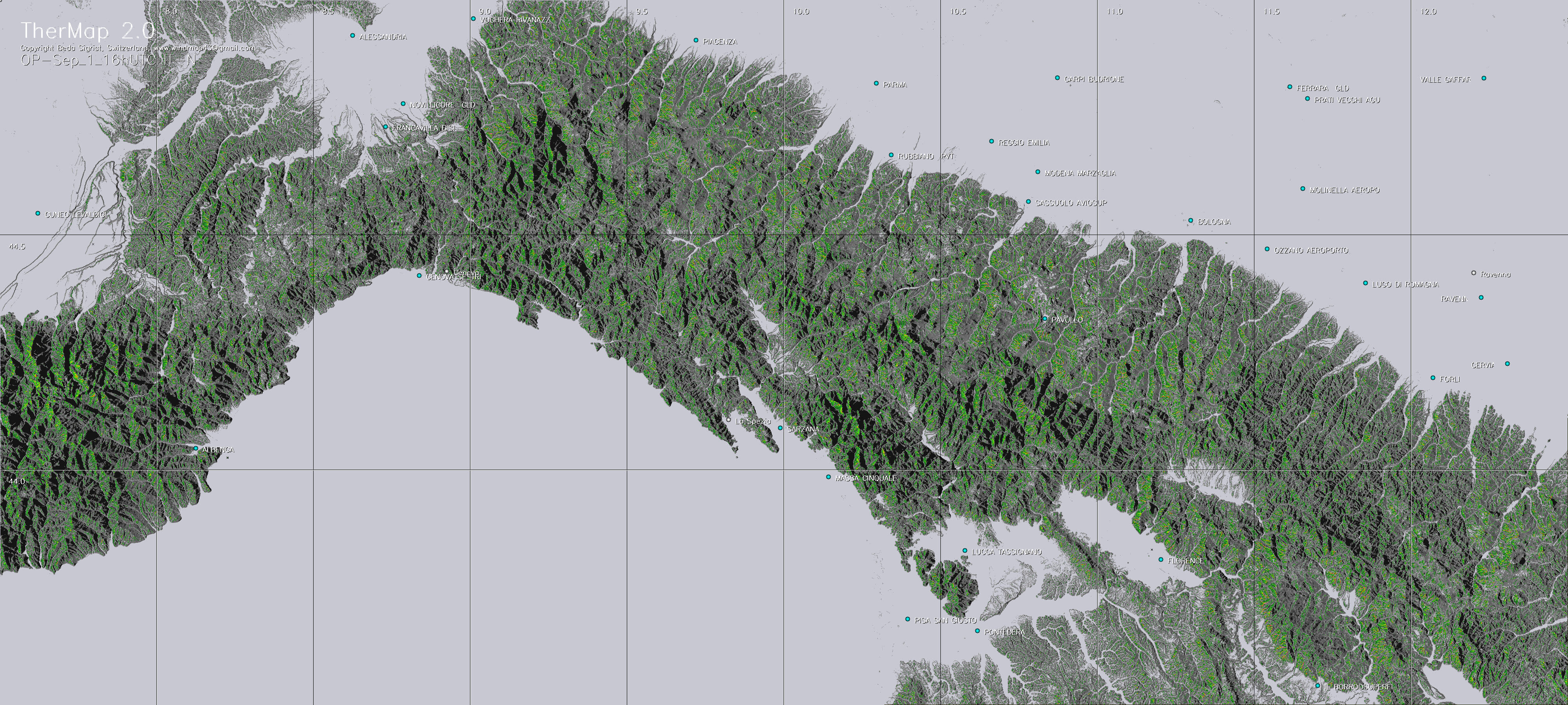
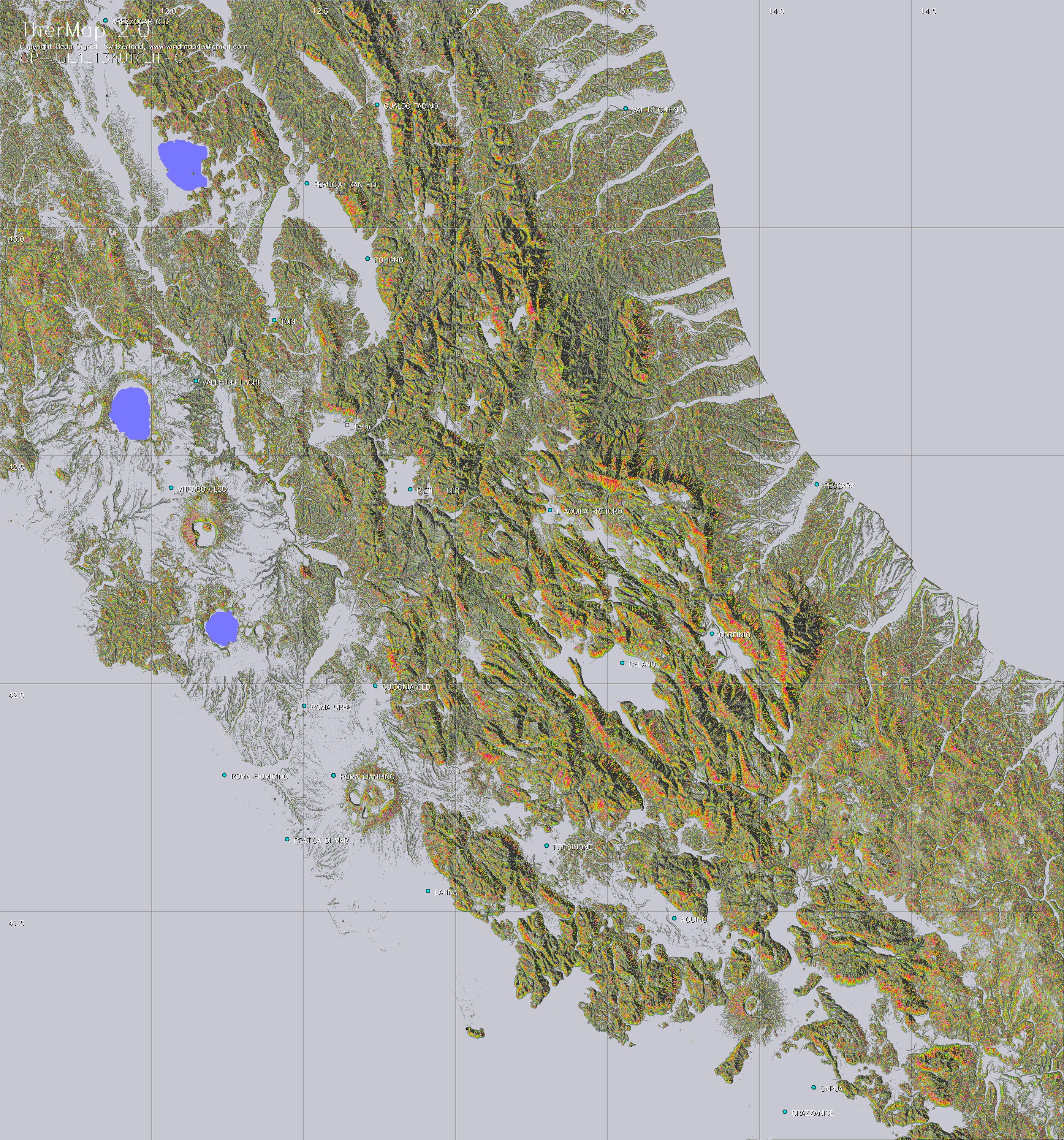
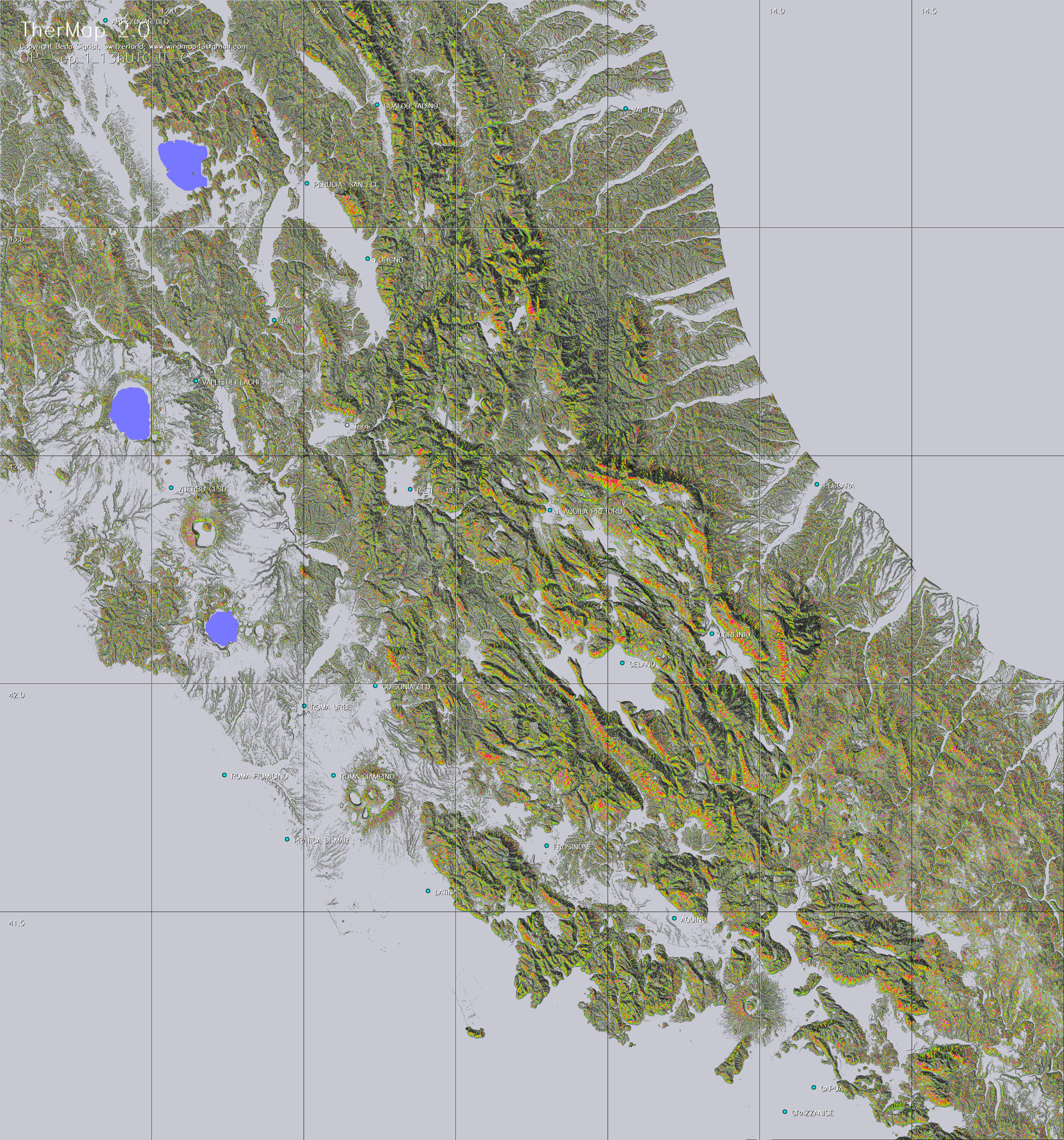
The following menu contains maps
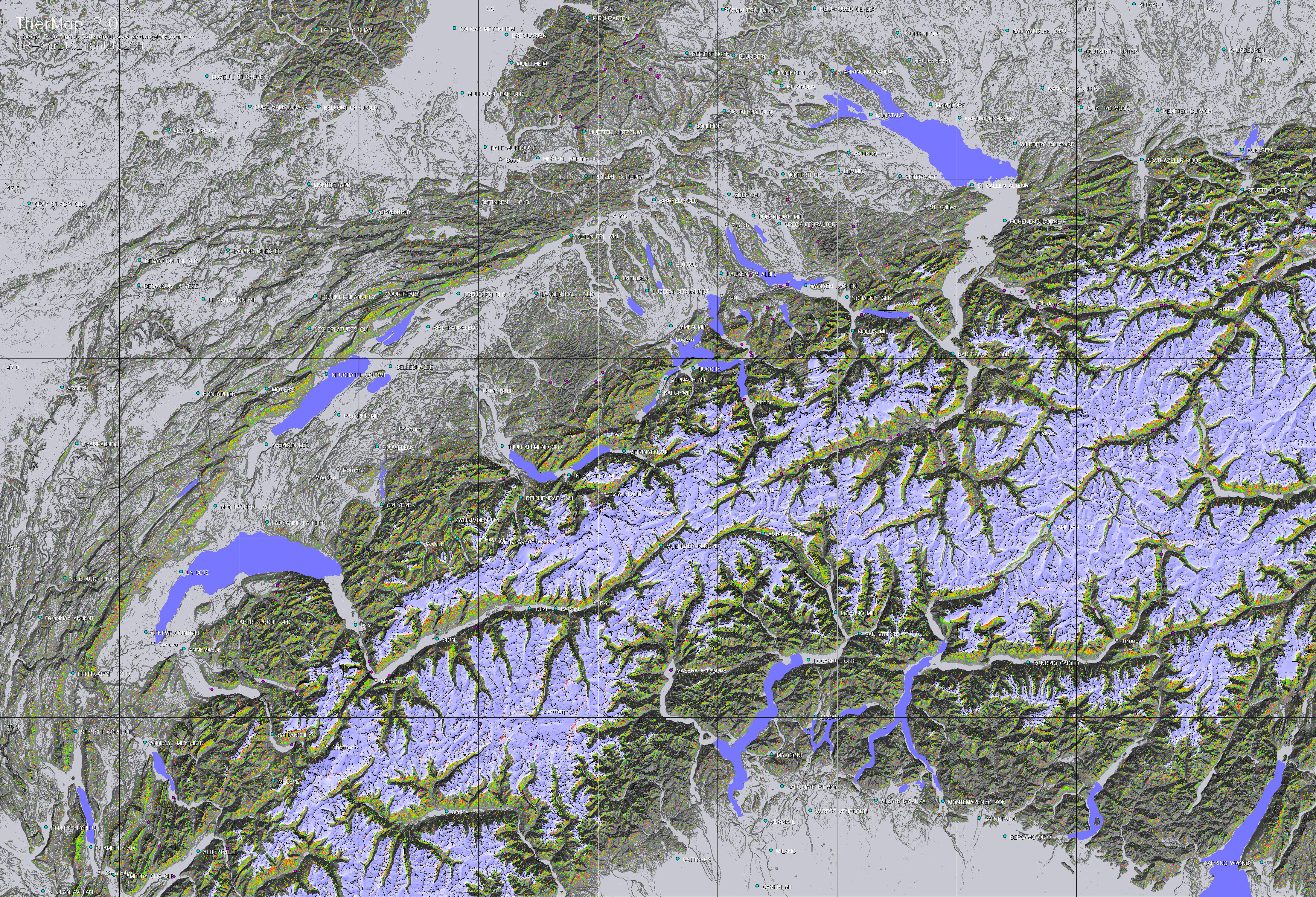
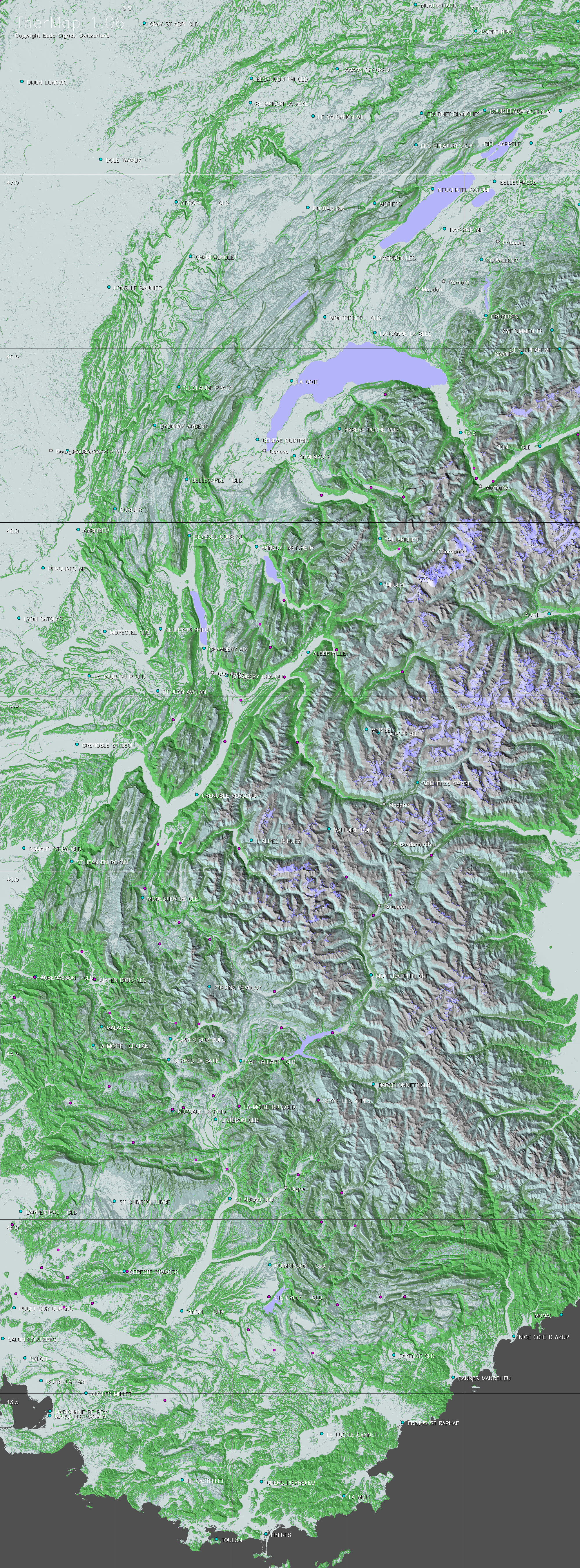
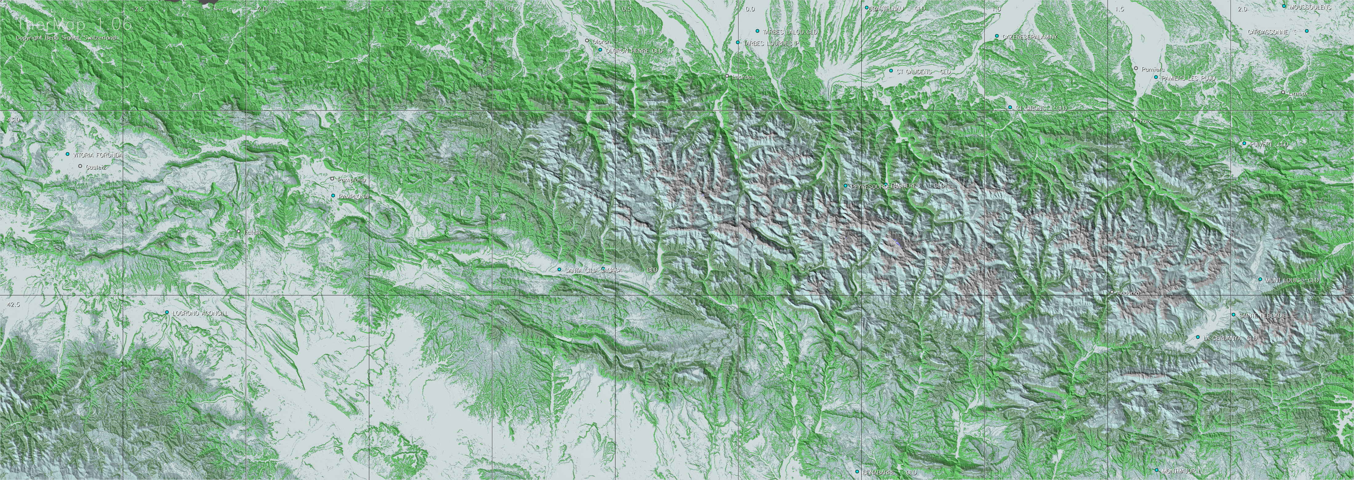
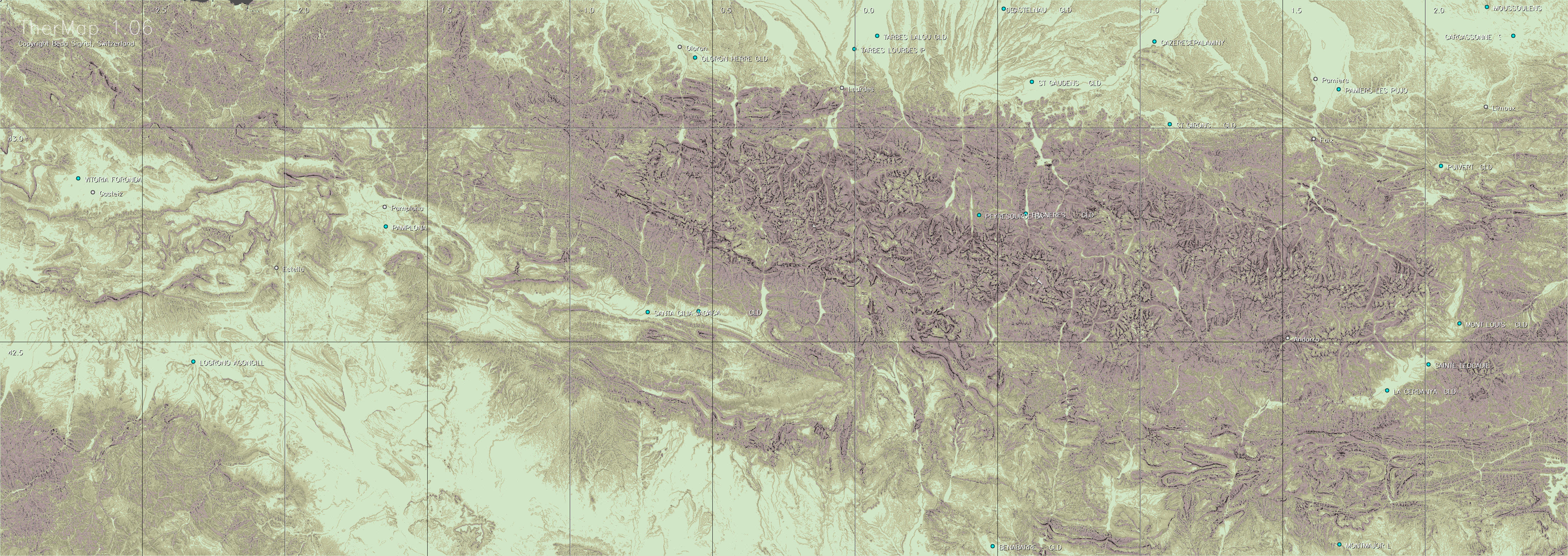
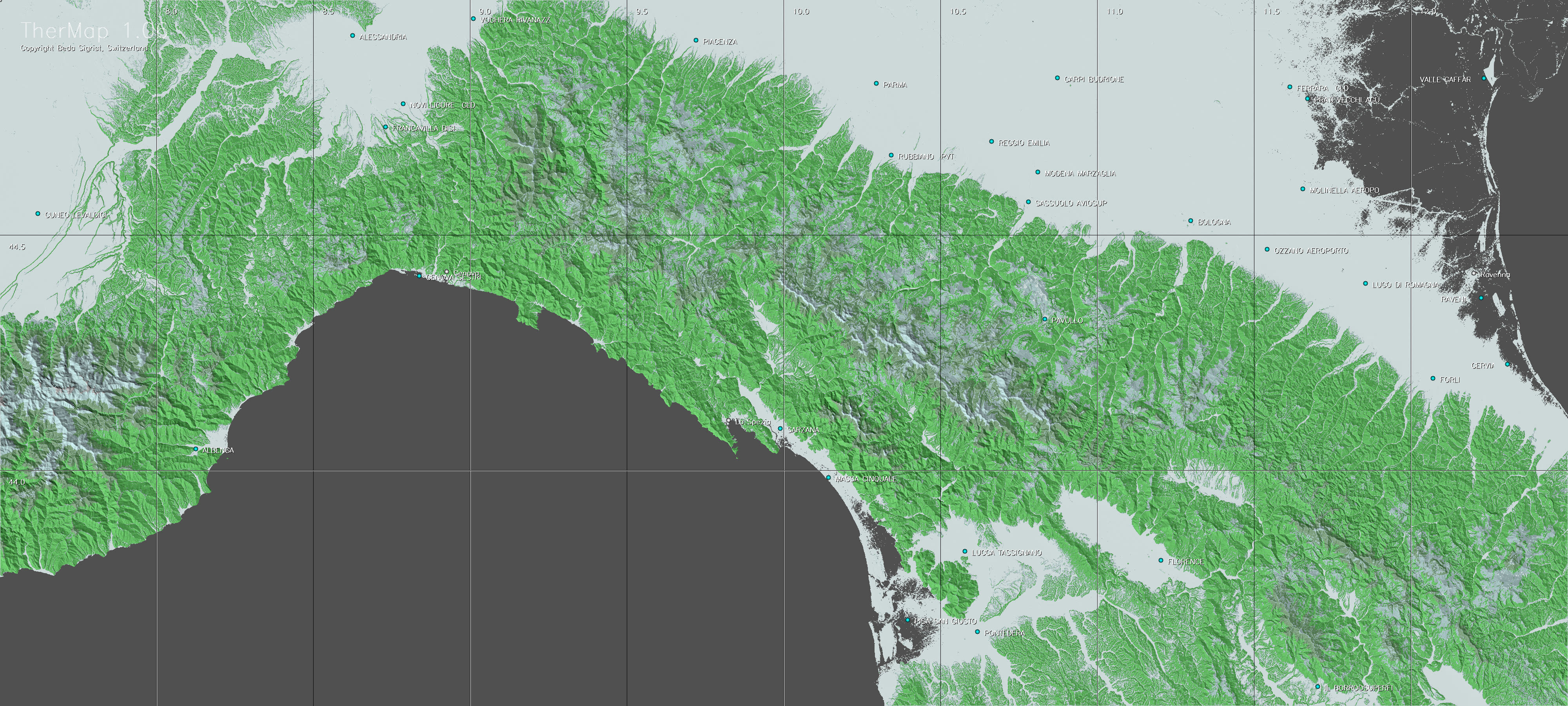
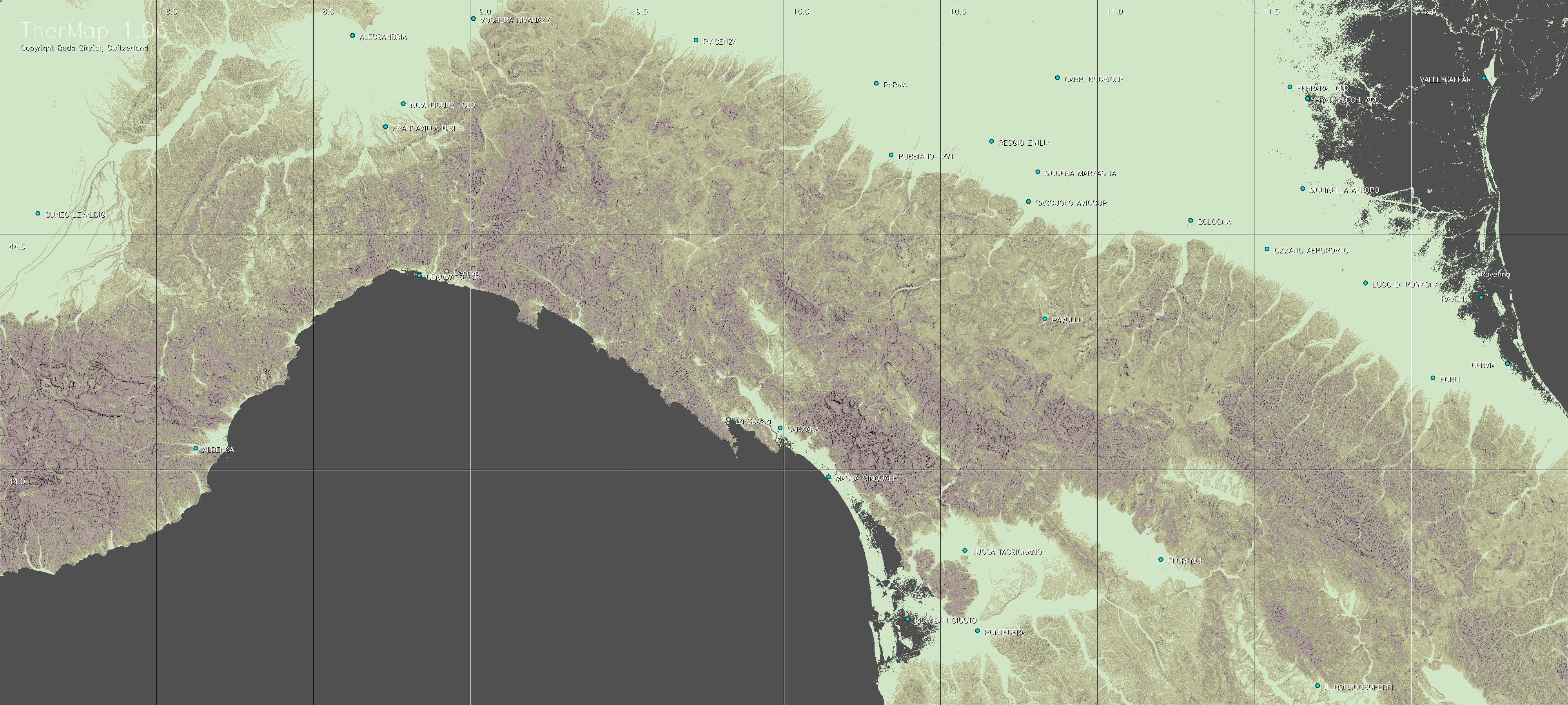
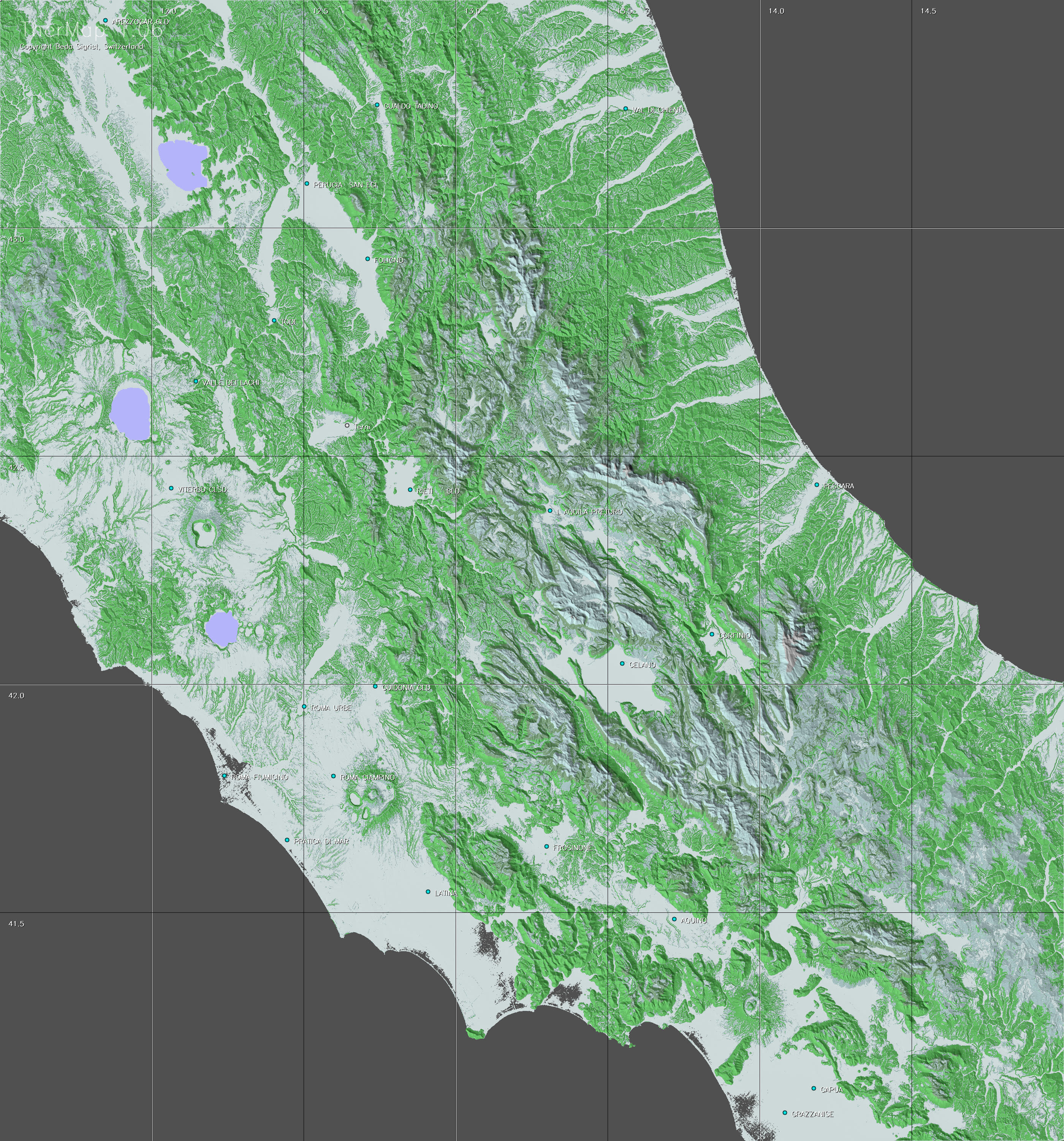
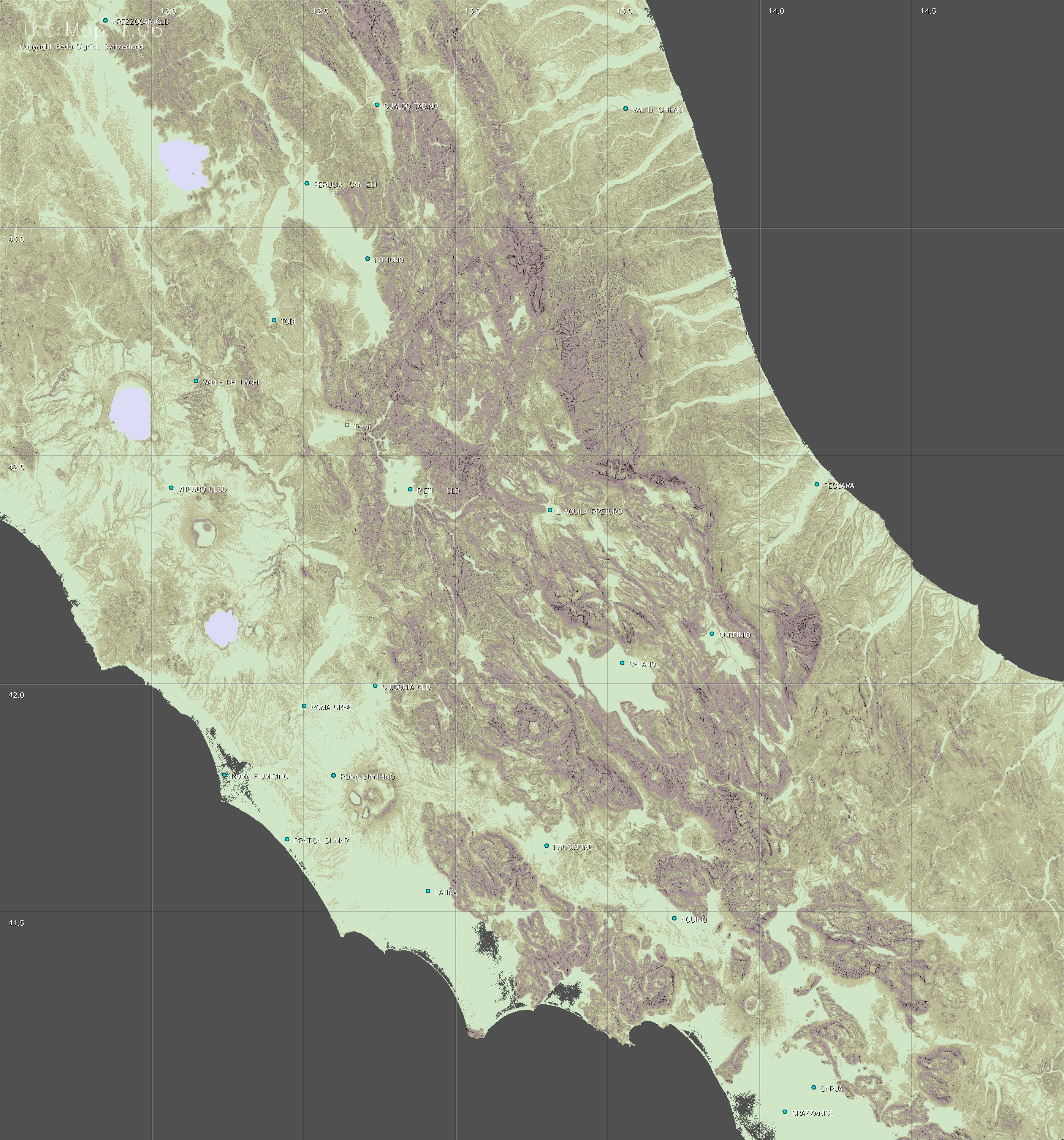
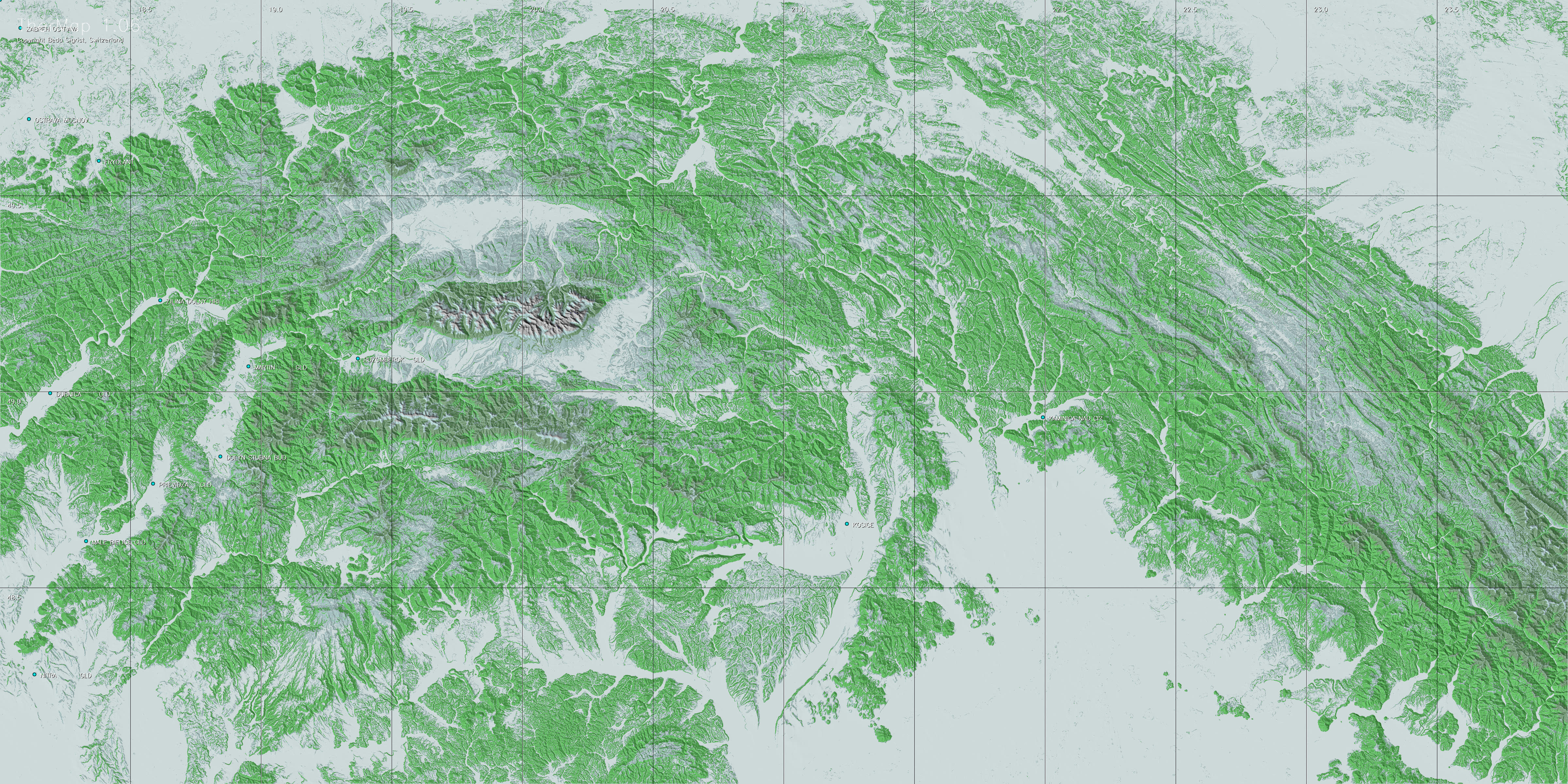
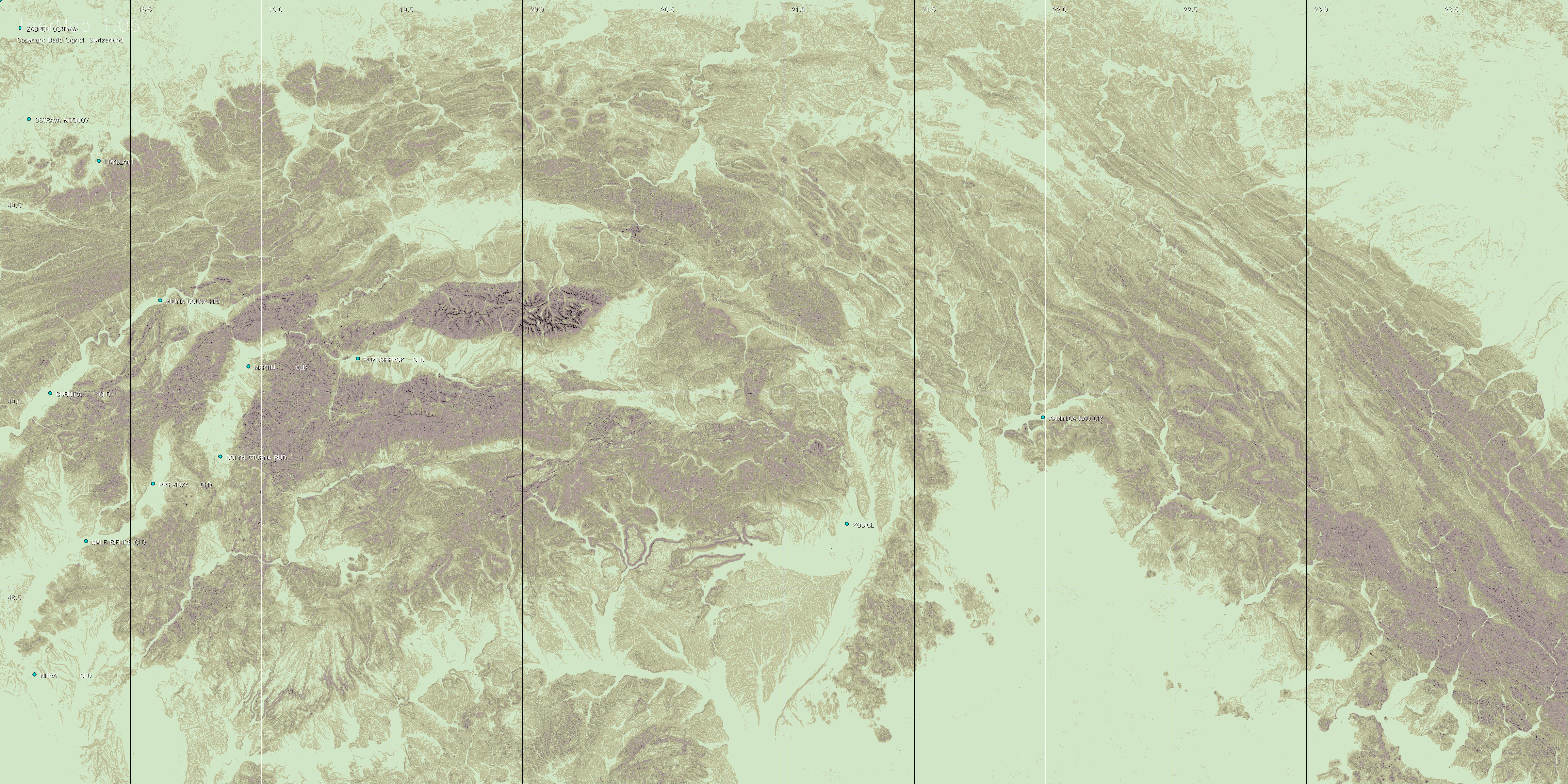
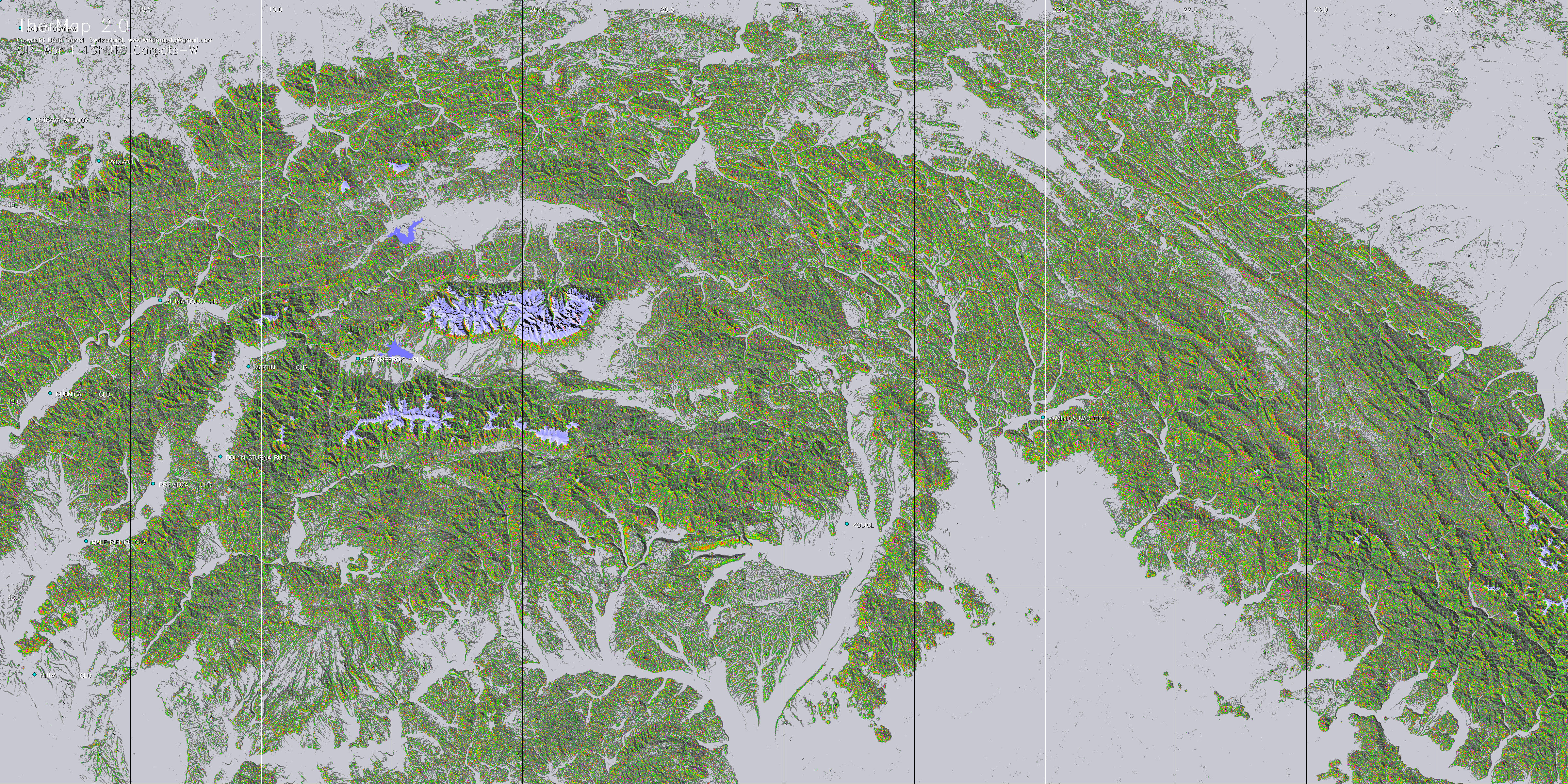
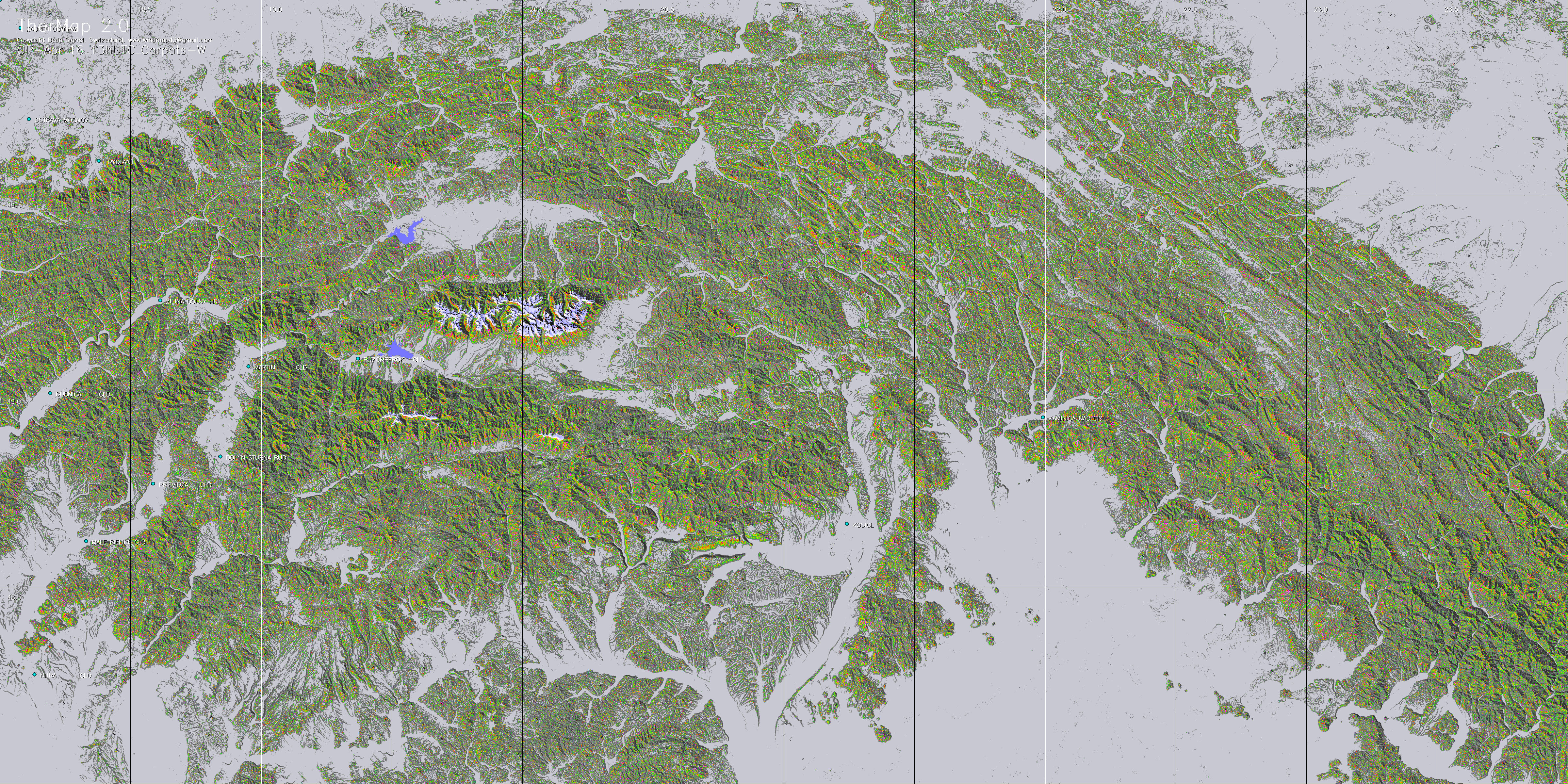
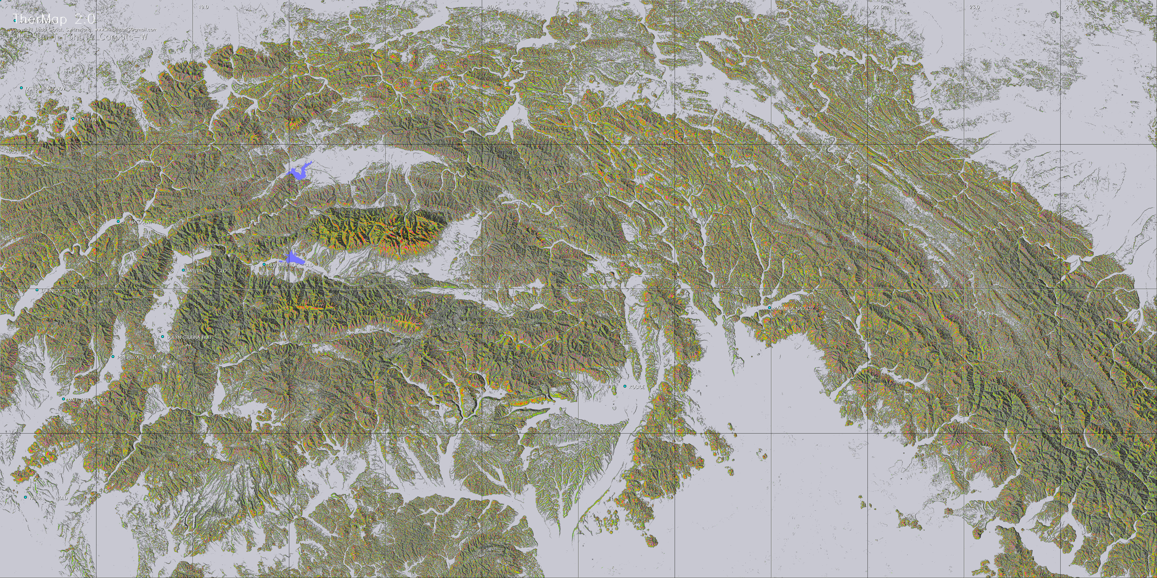
generated by TherMap2. The TherMap1 menu with
the entirely colour coded maps is however still available.
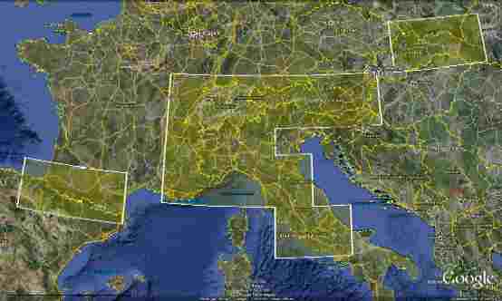
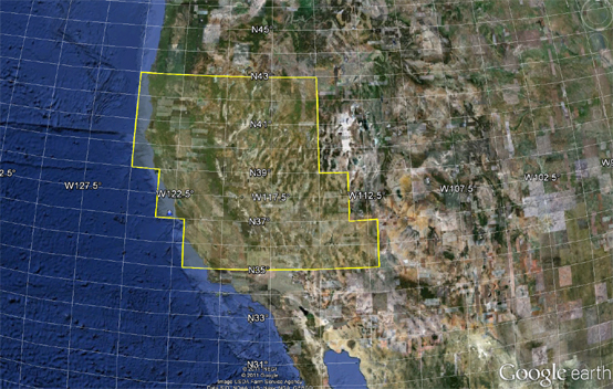
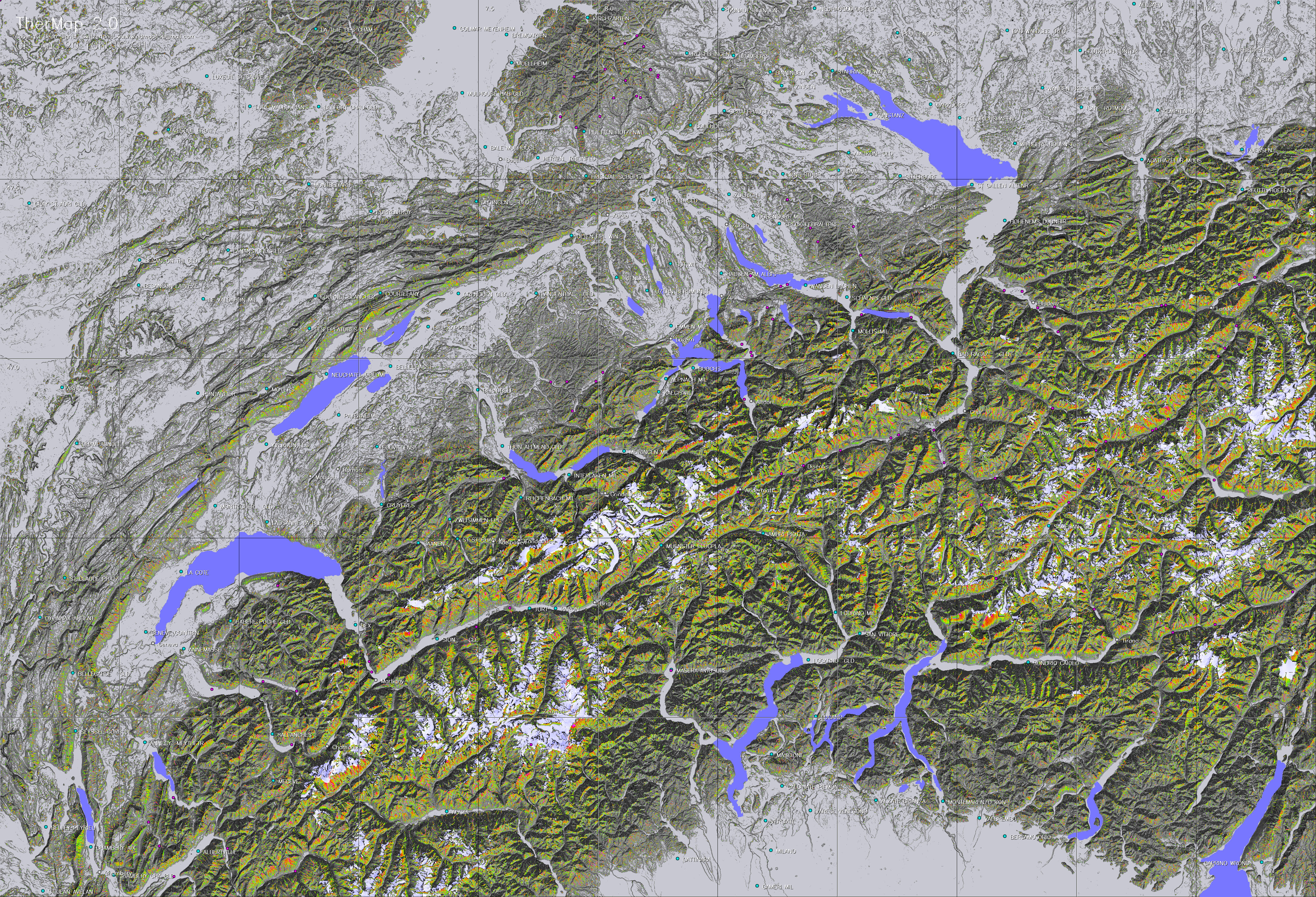
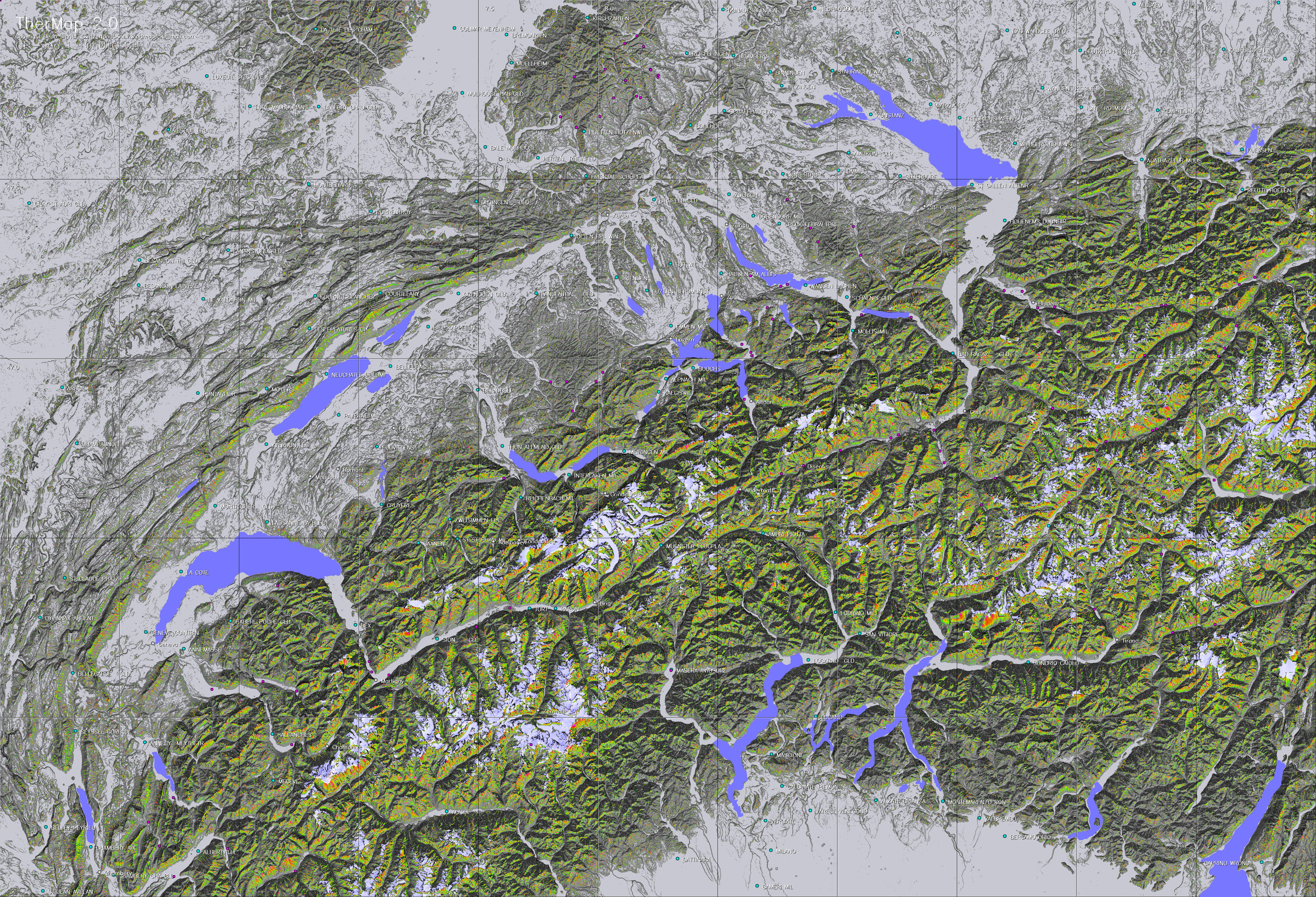
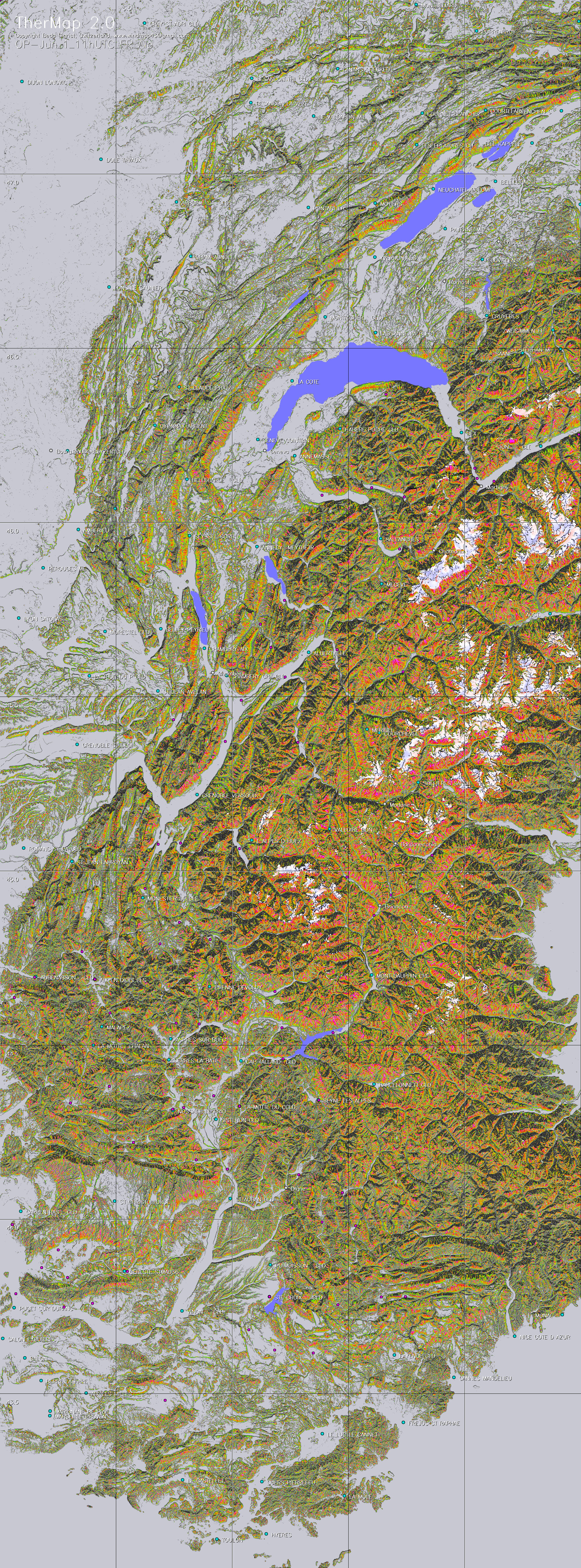
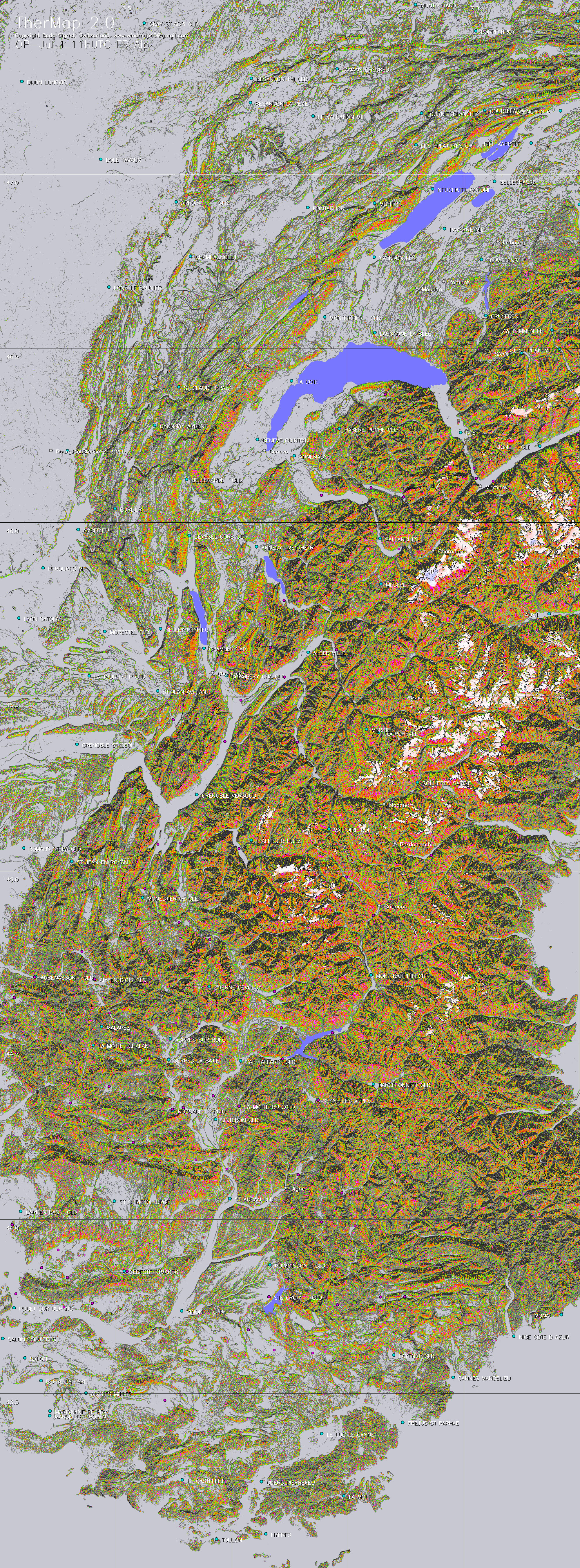
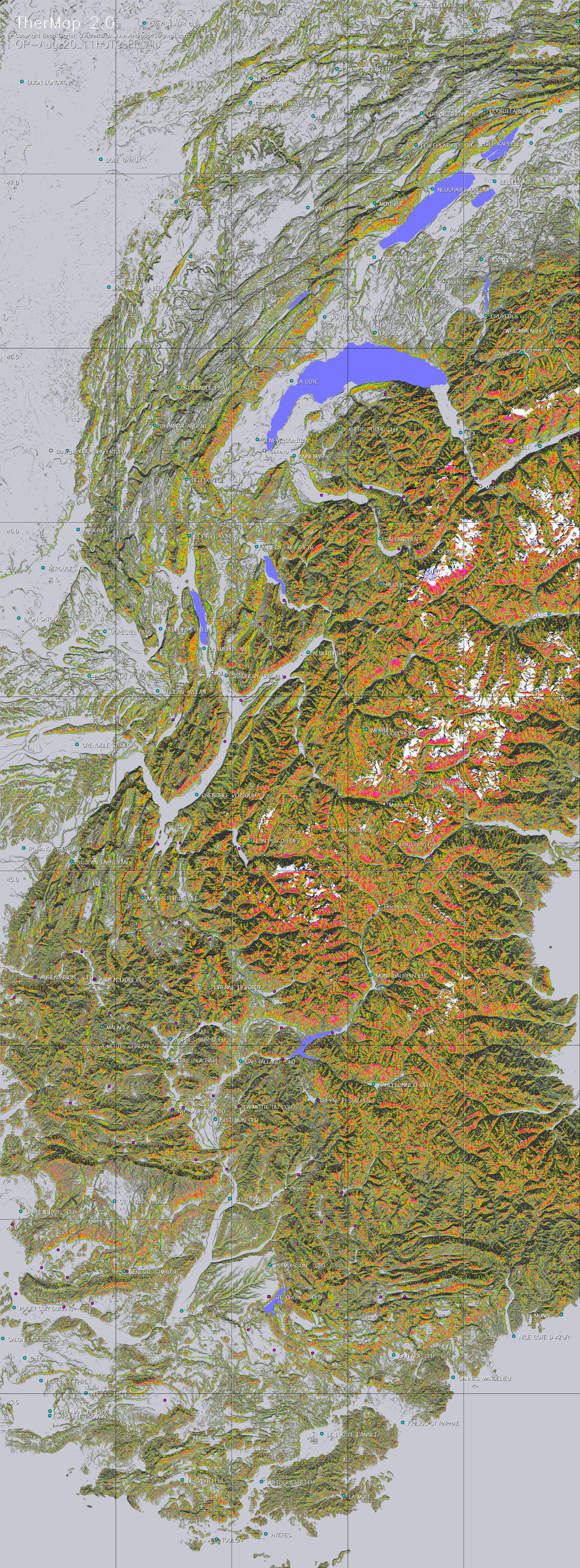
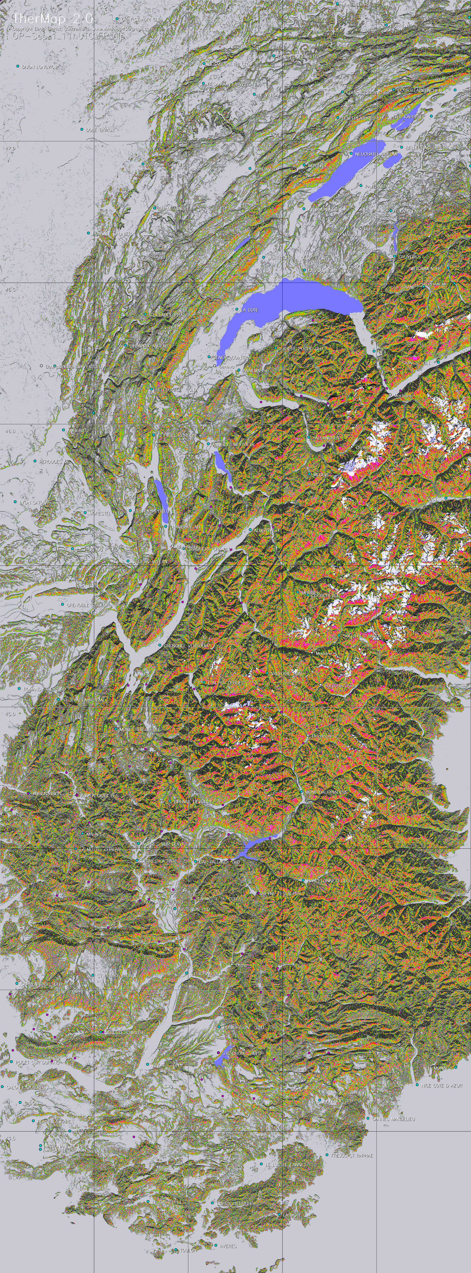
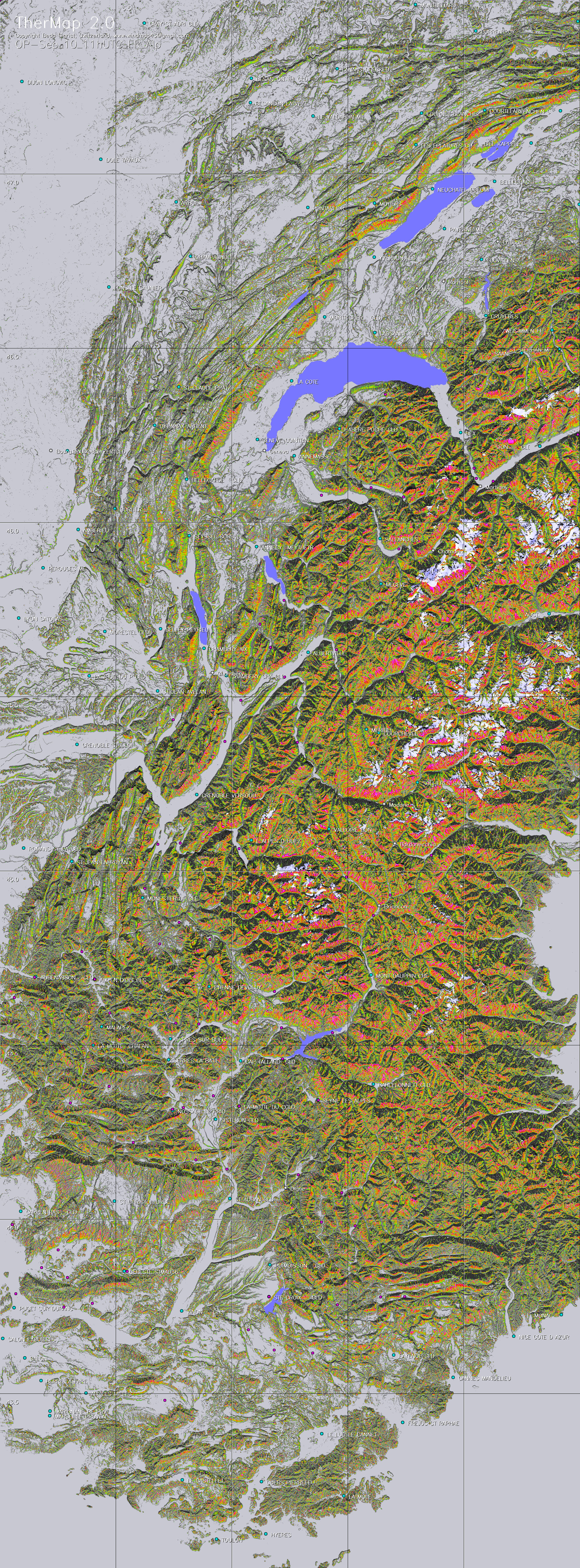
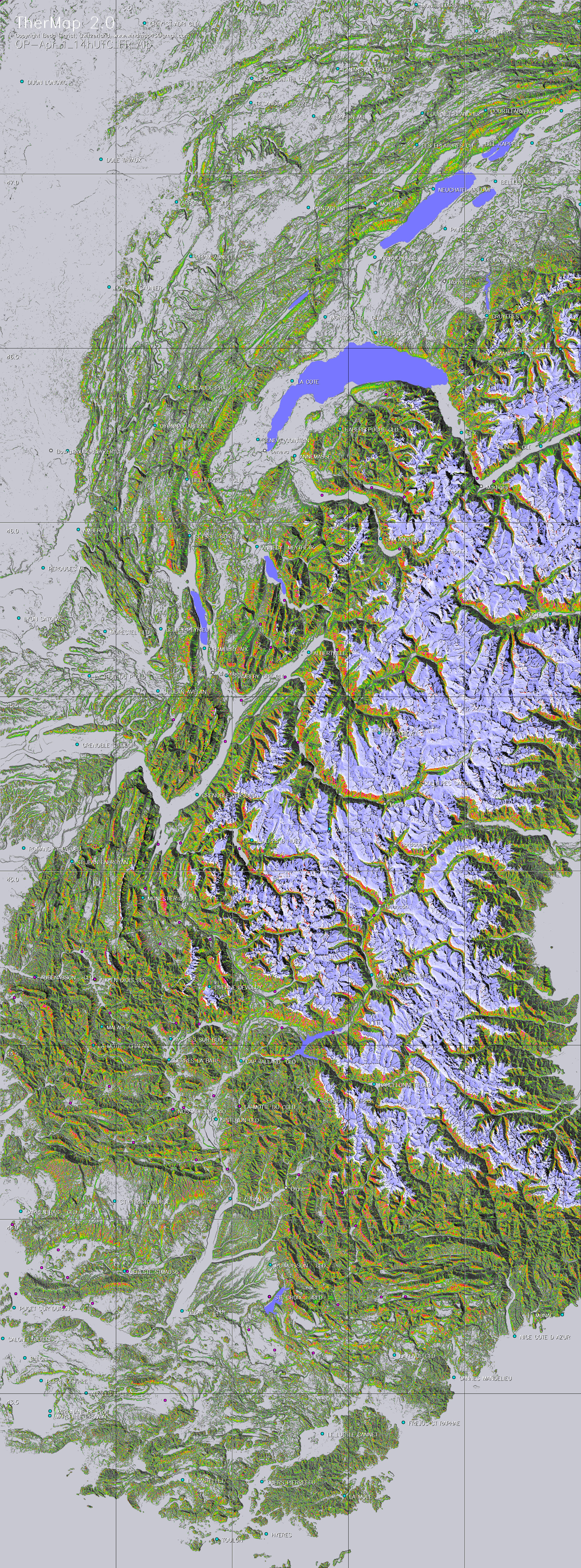
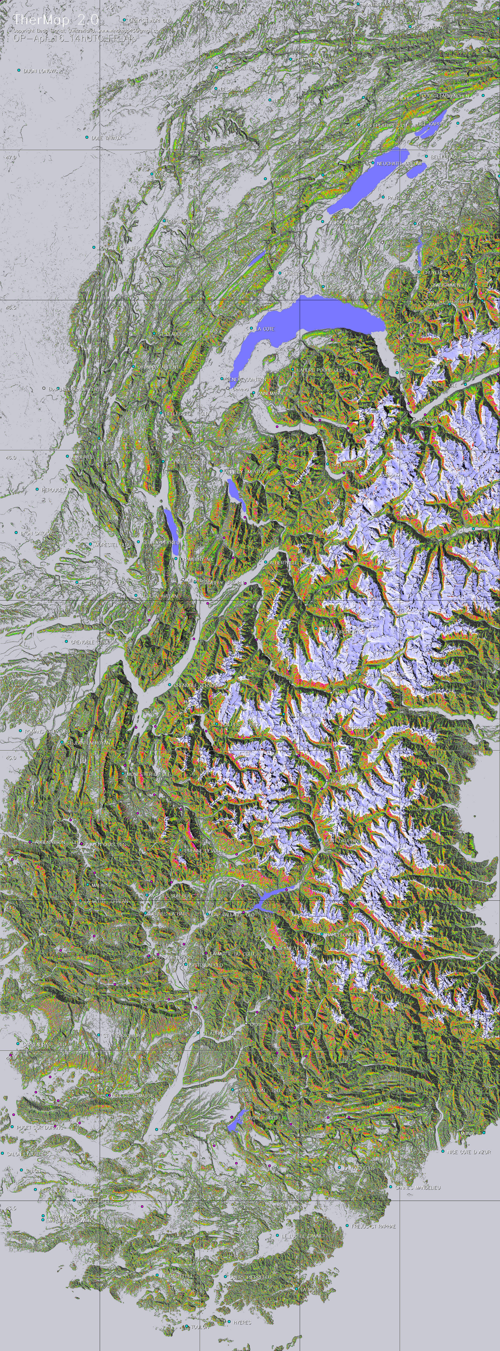
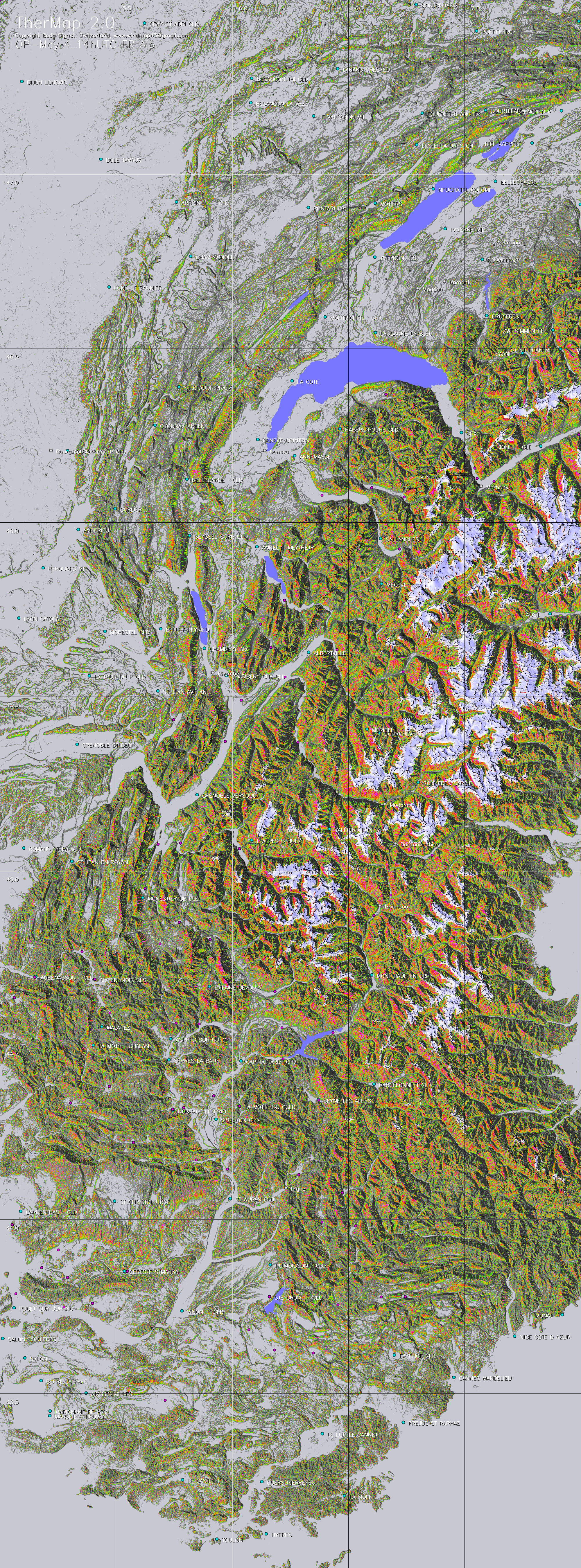
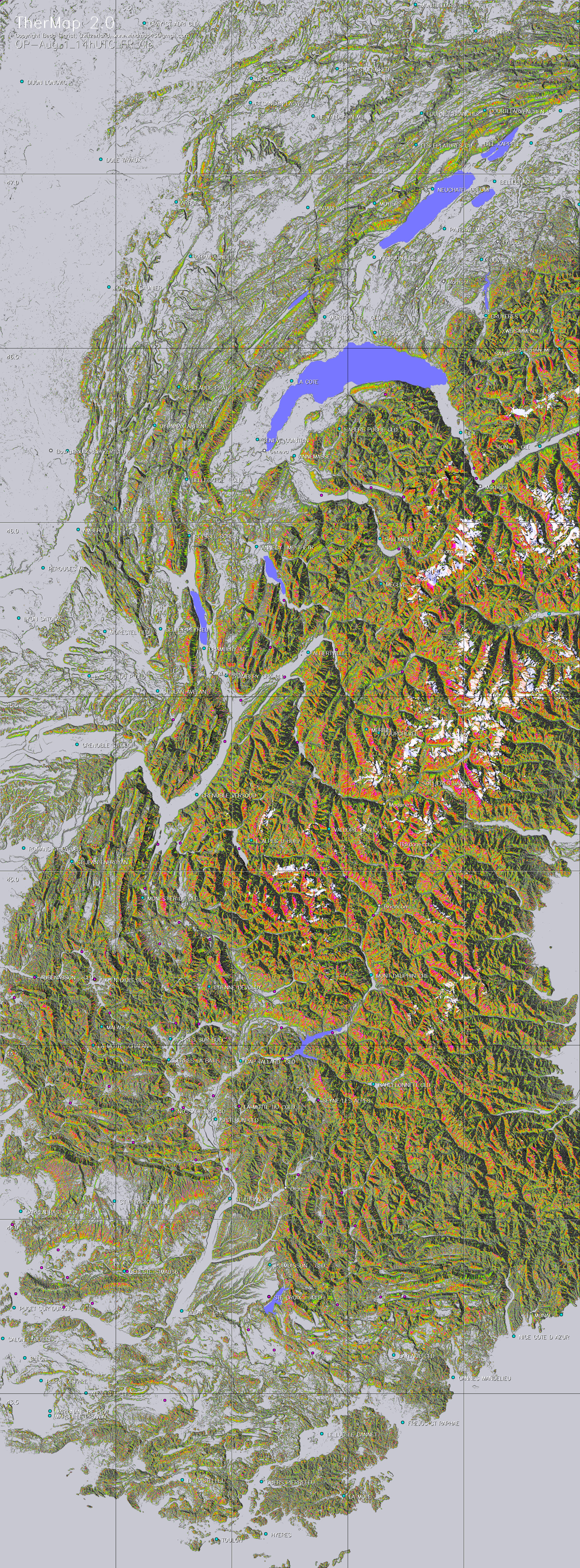
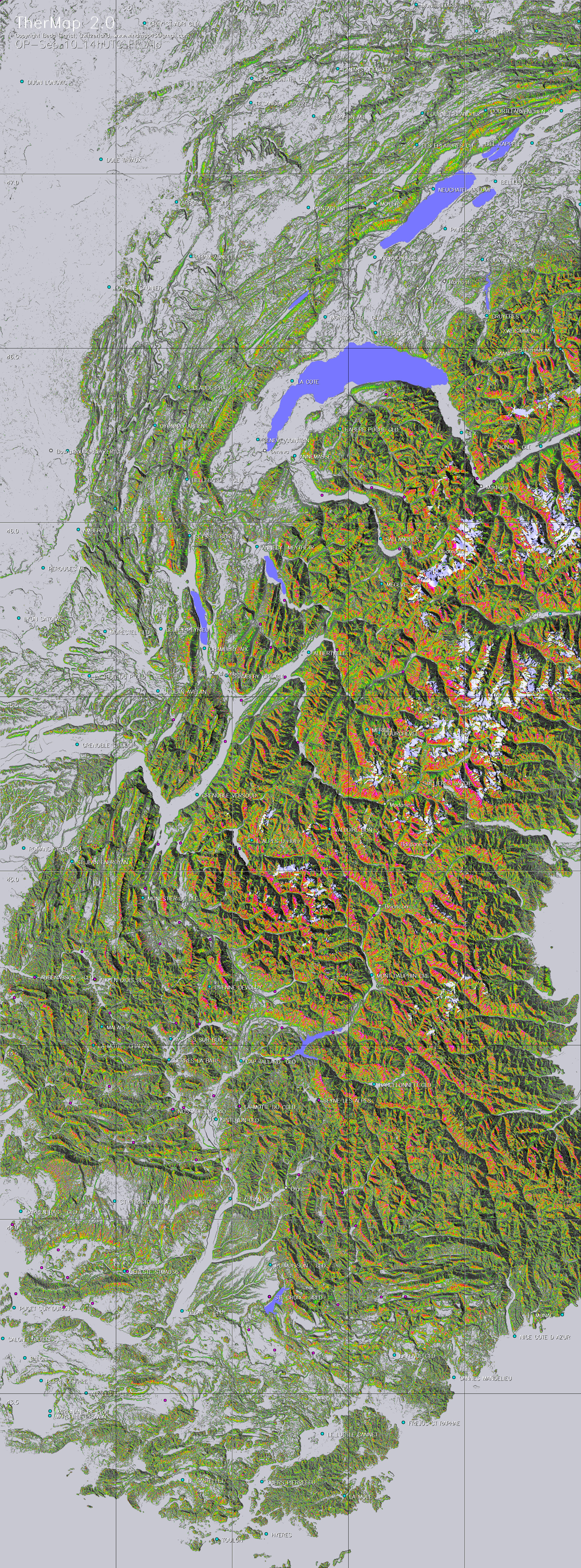
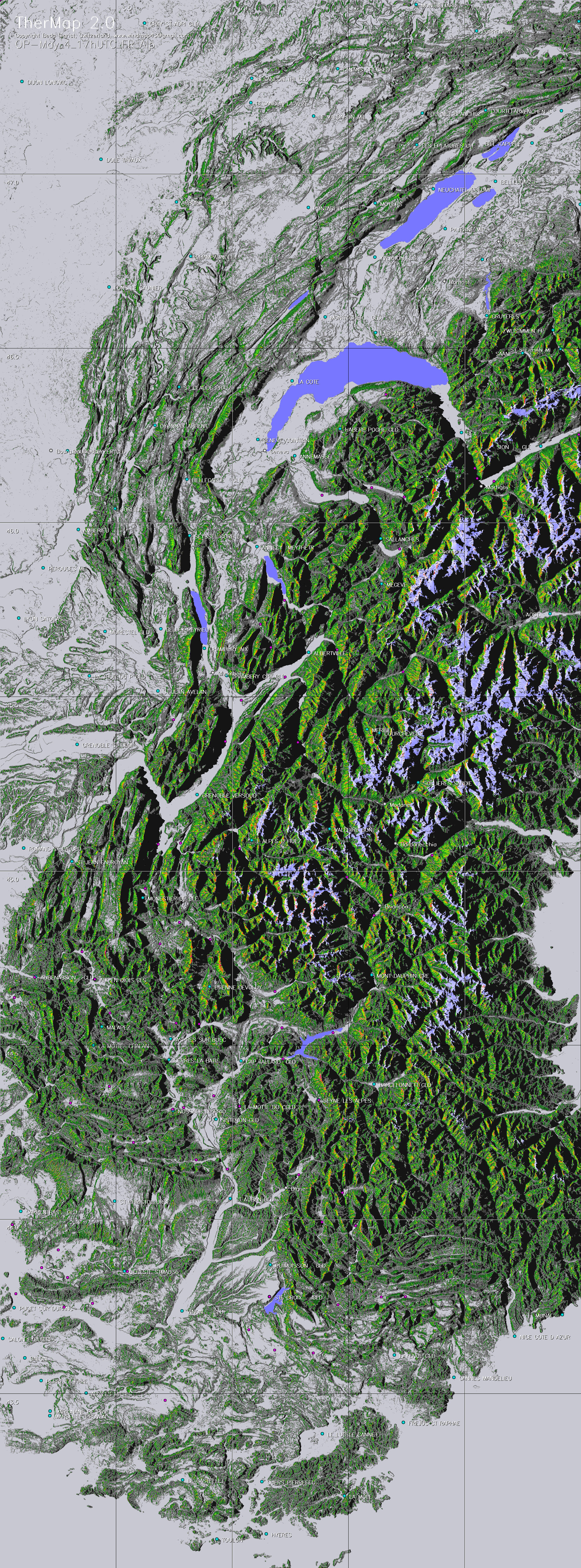
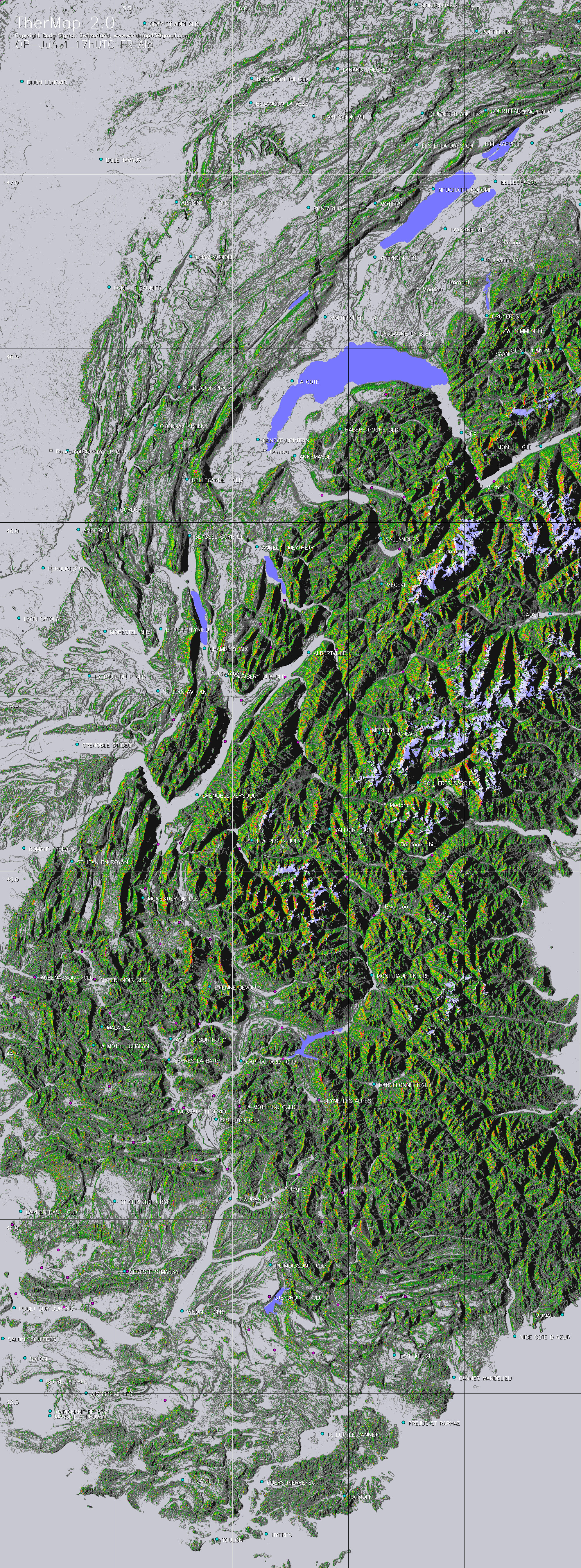
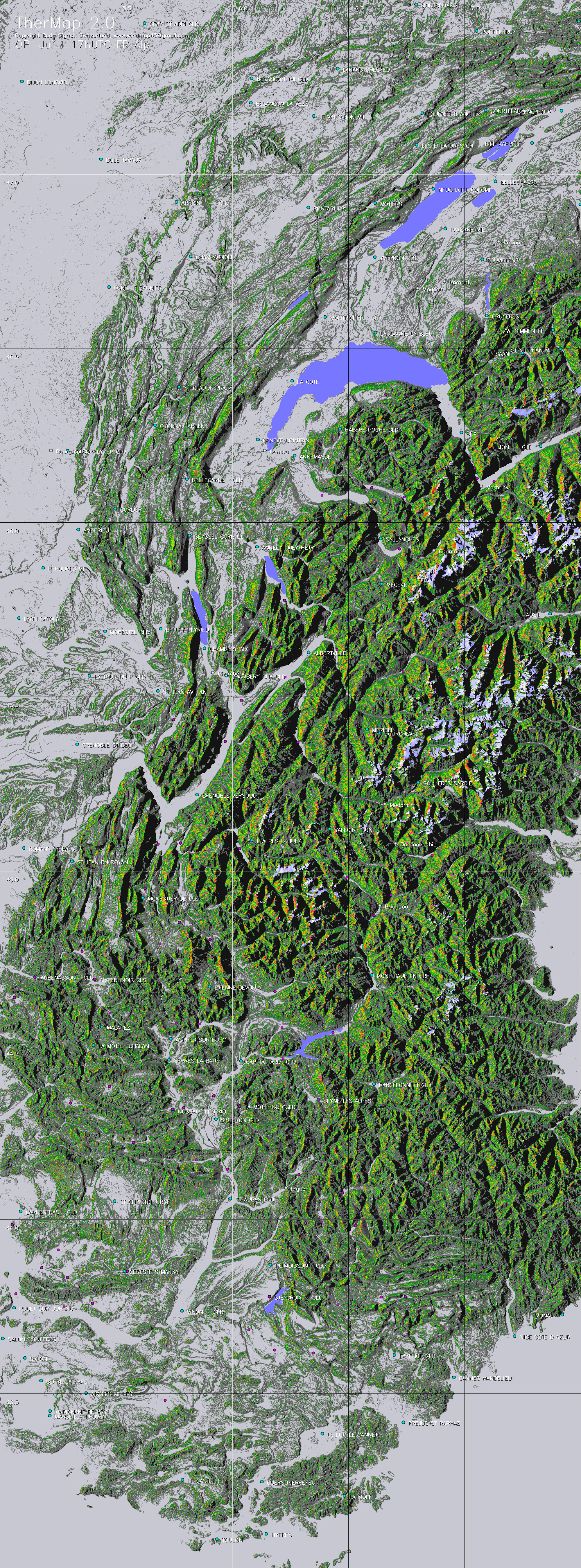
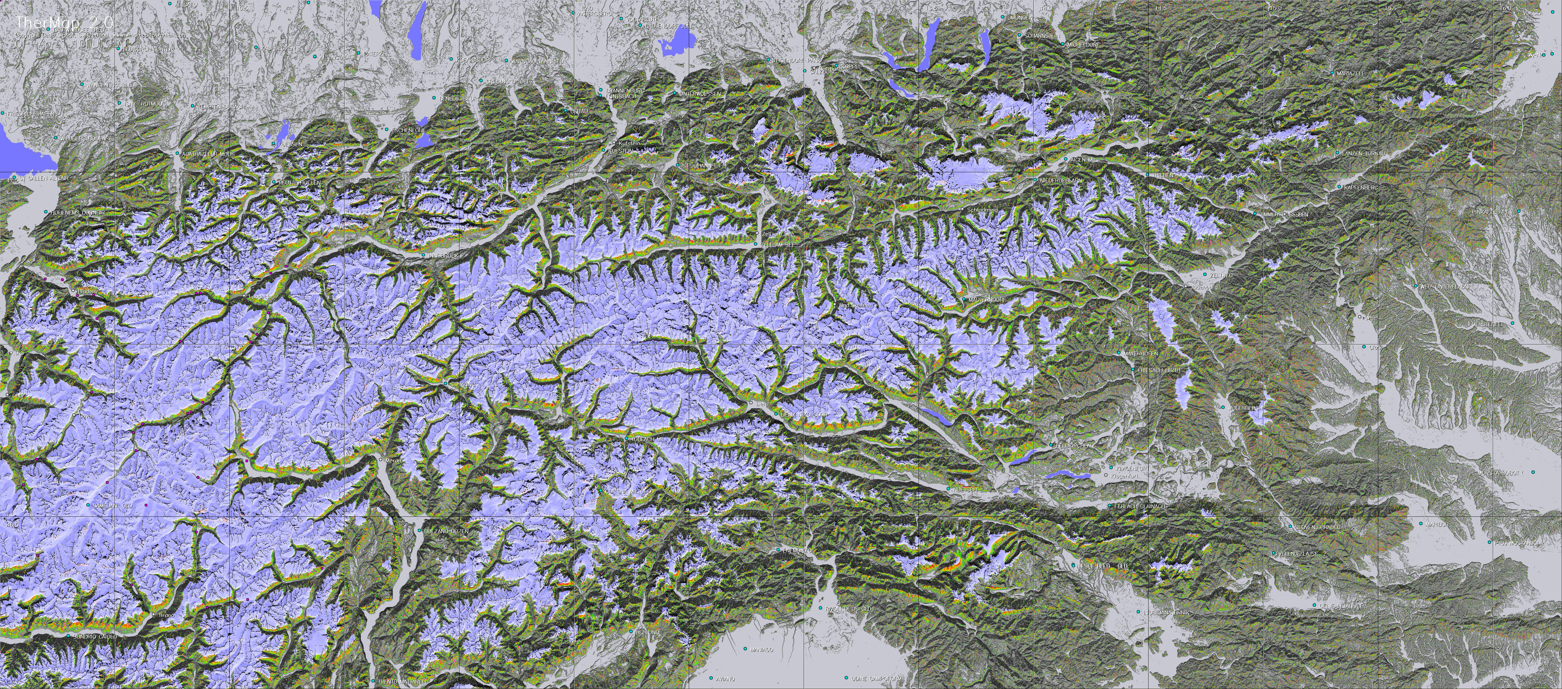
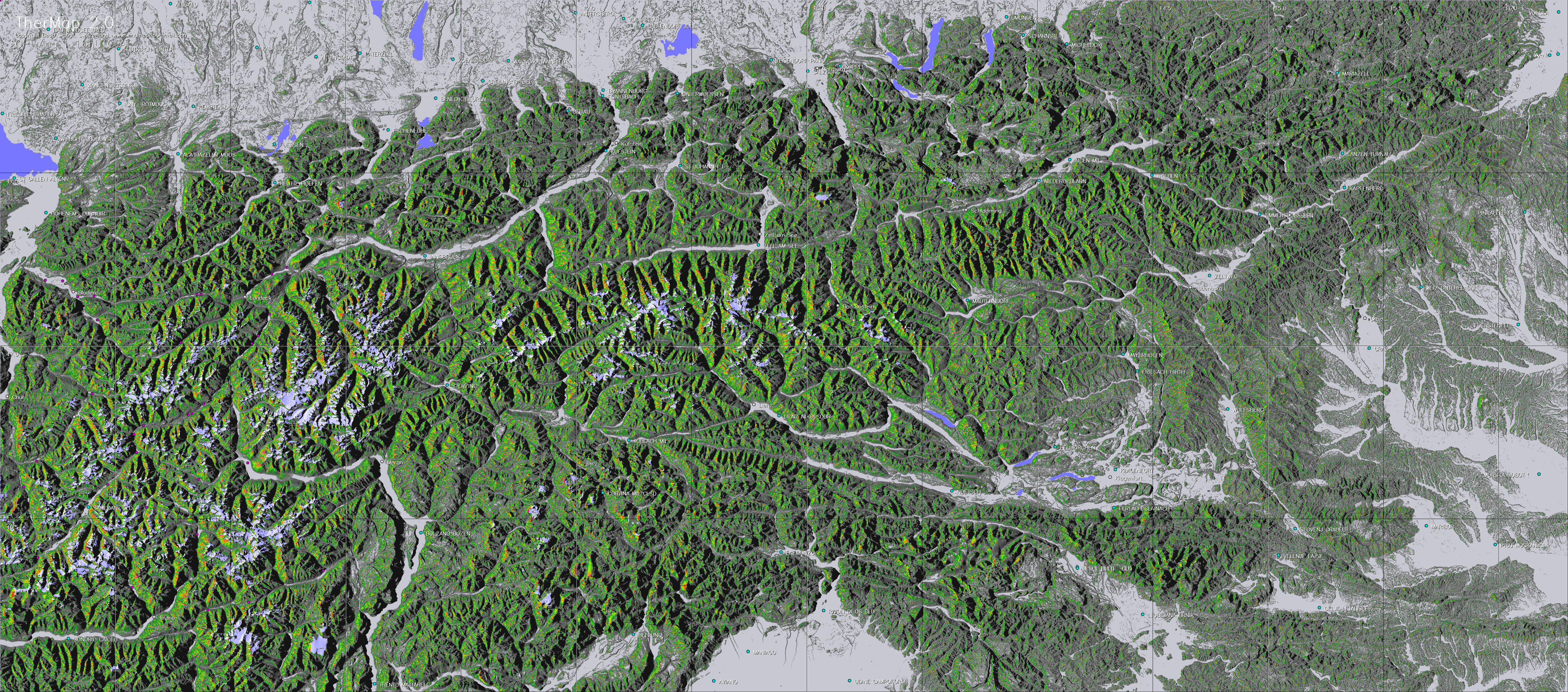
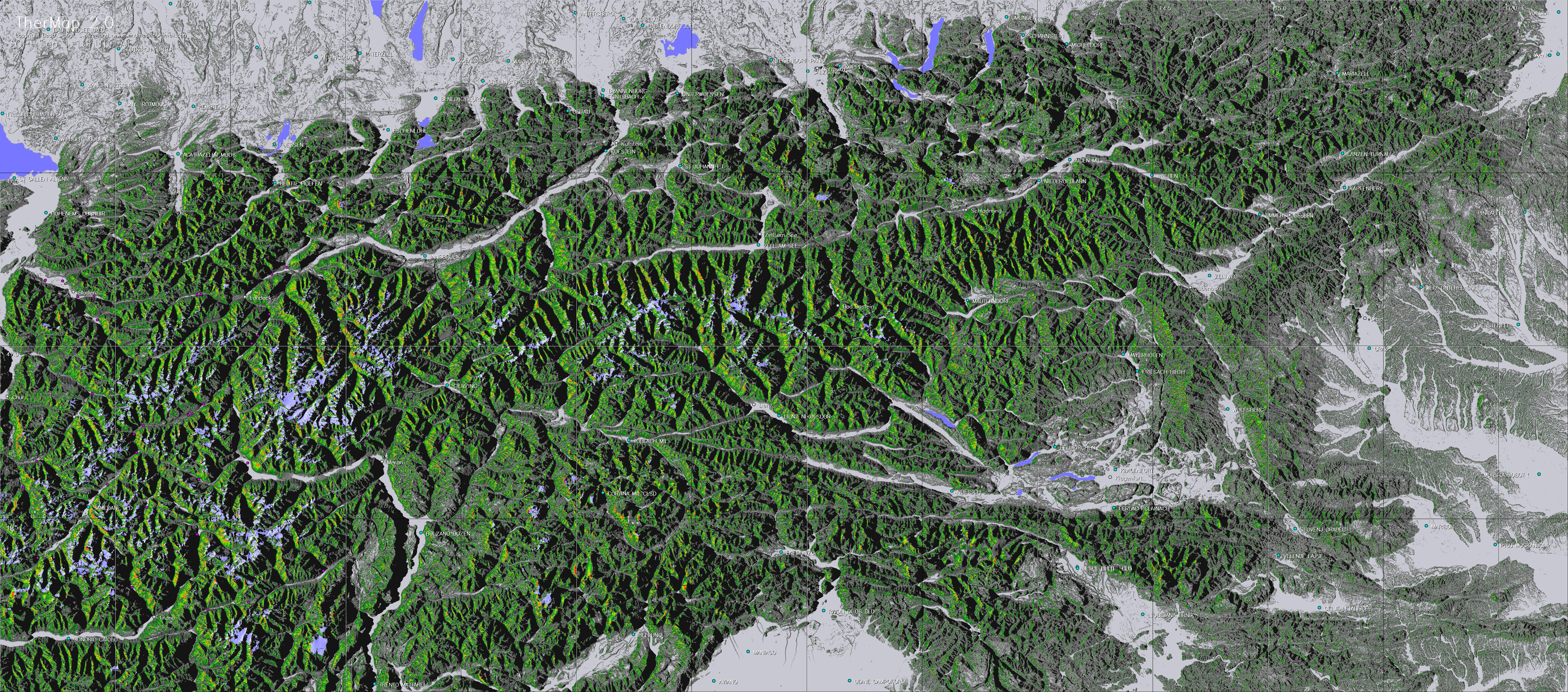
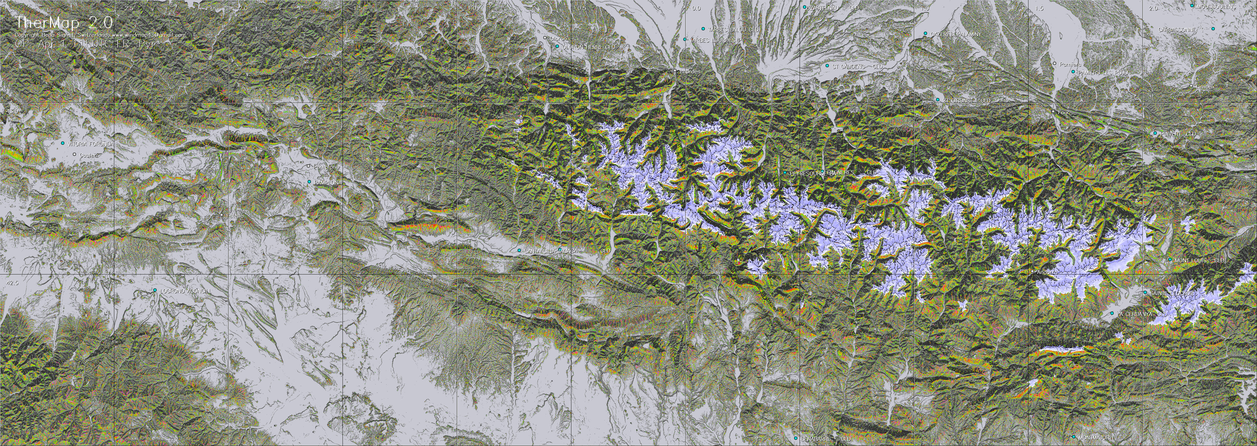
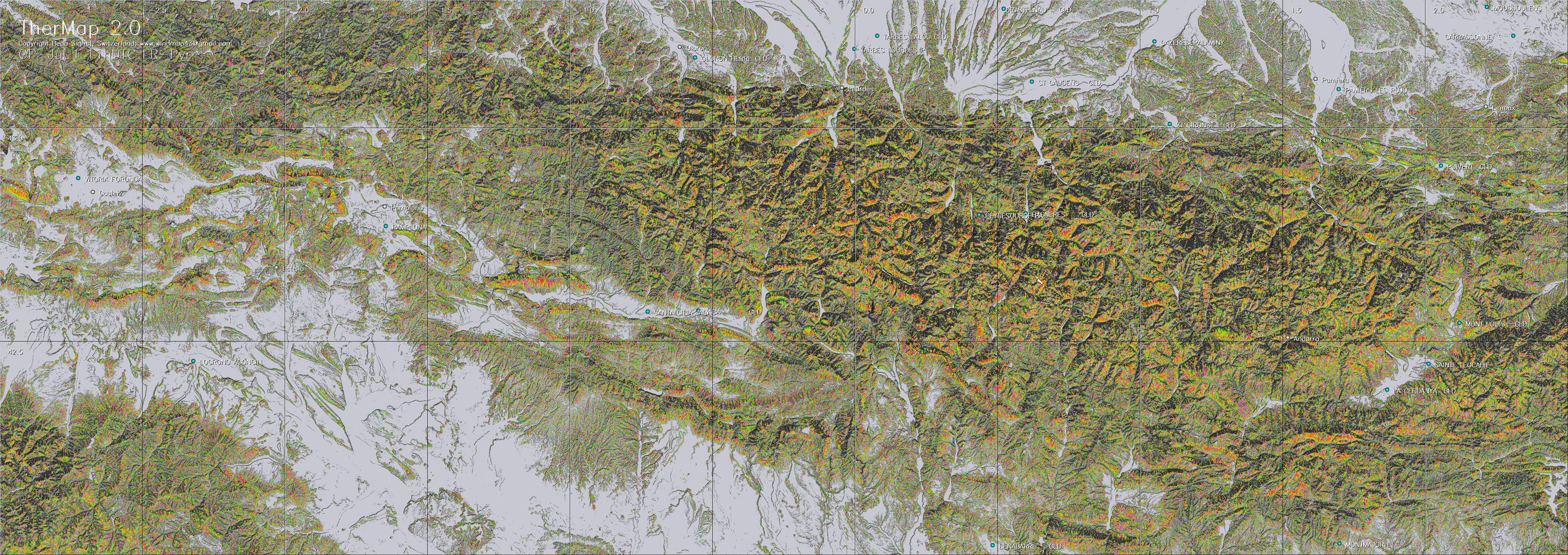
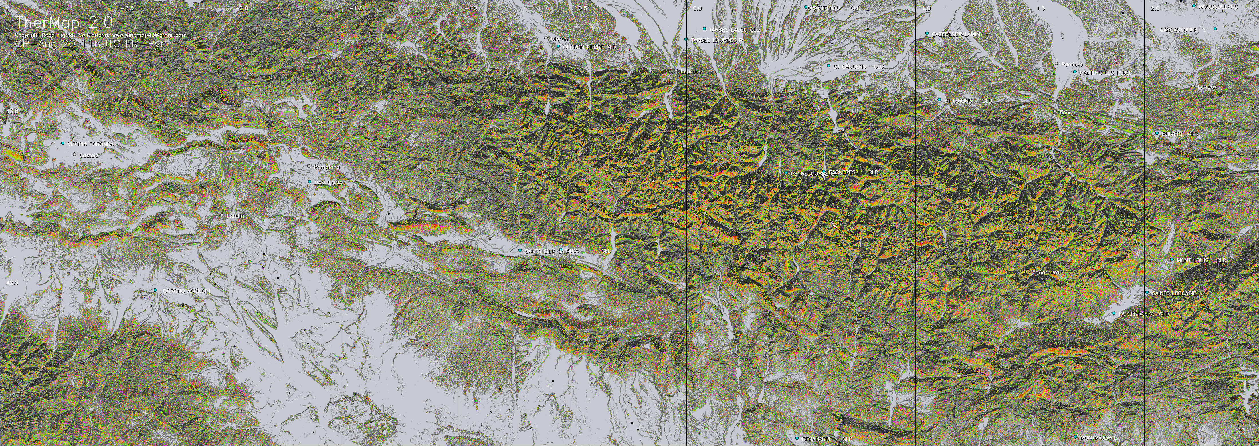
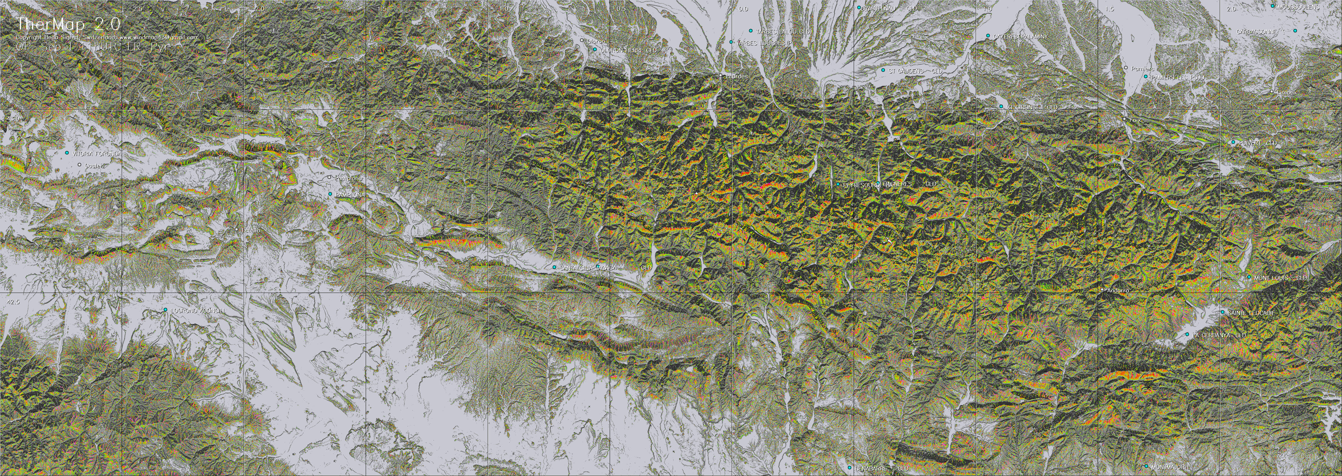
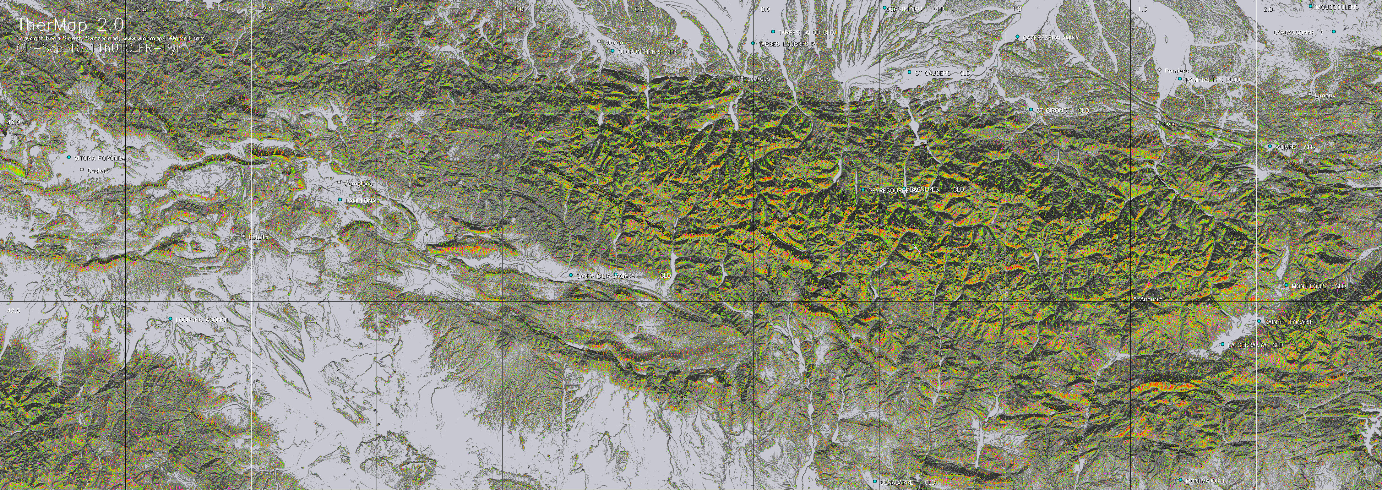
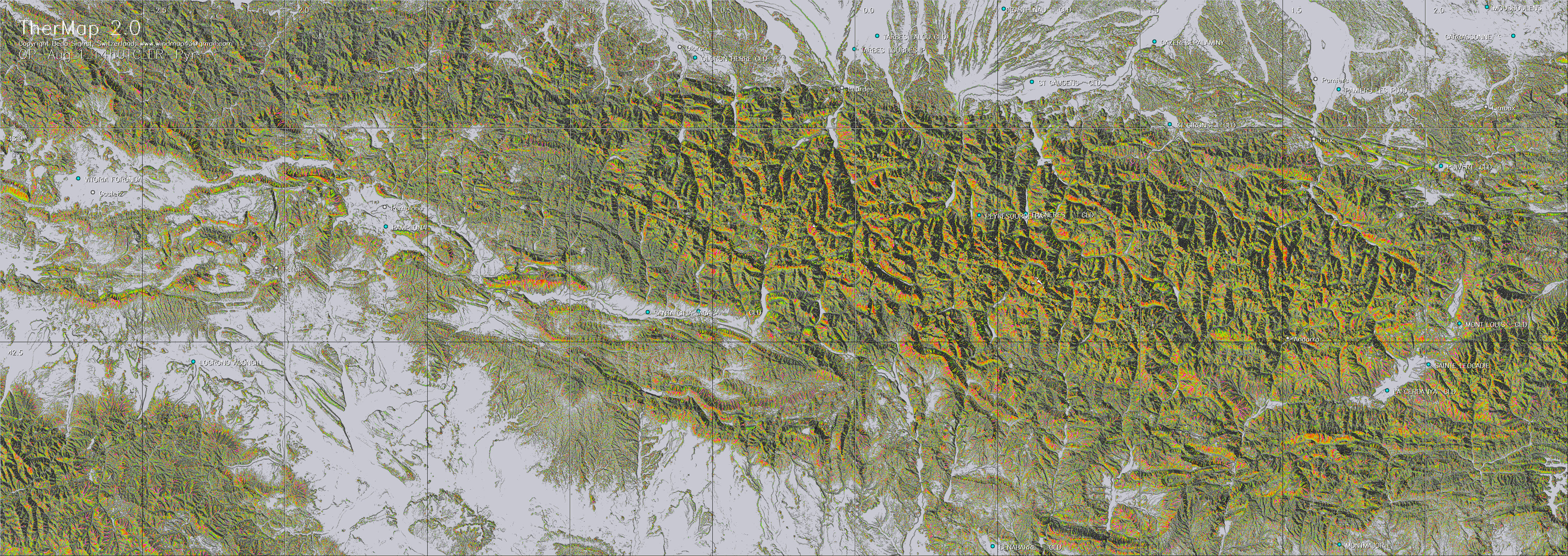
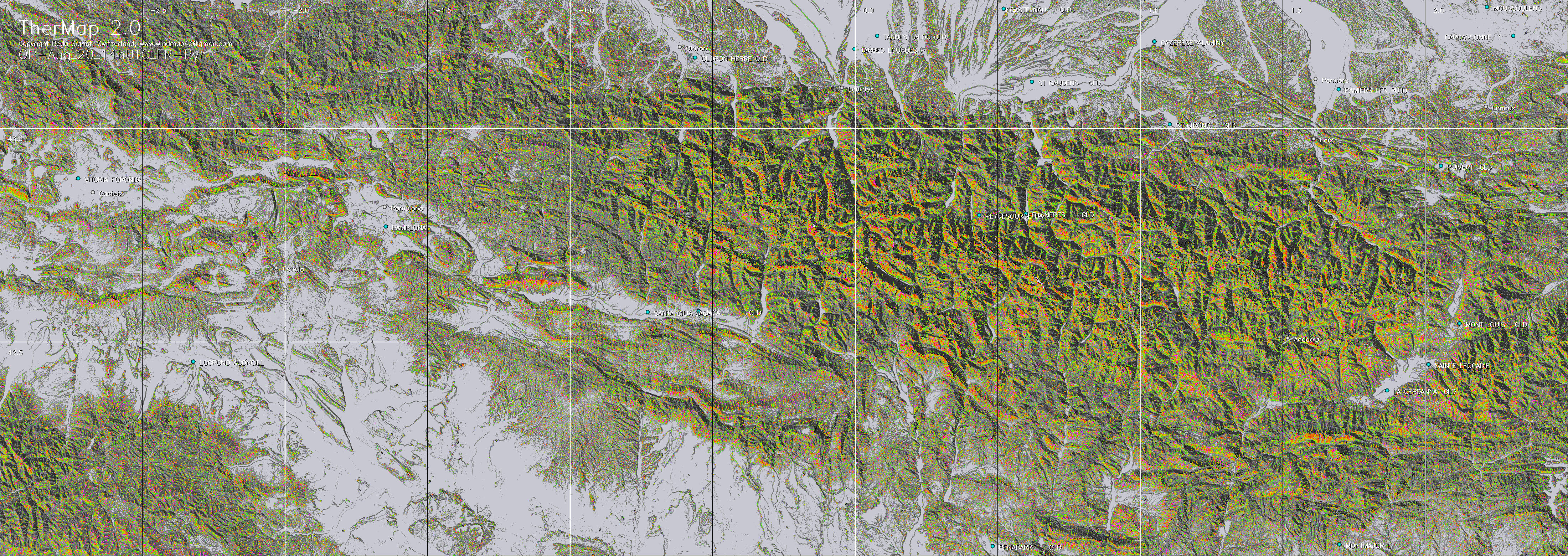
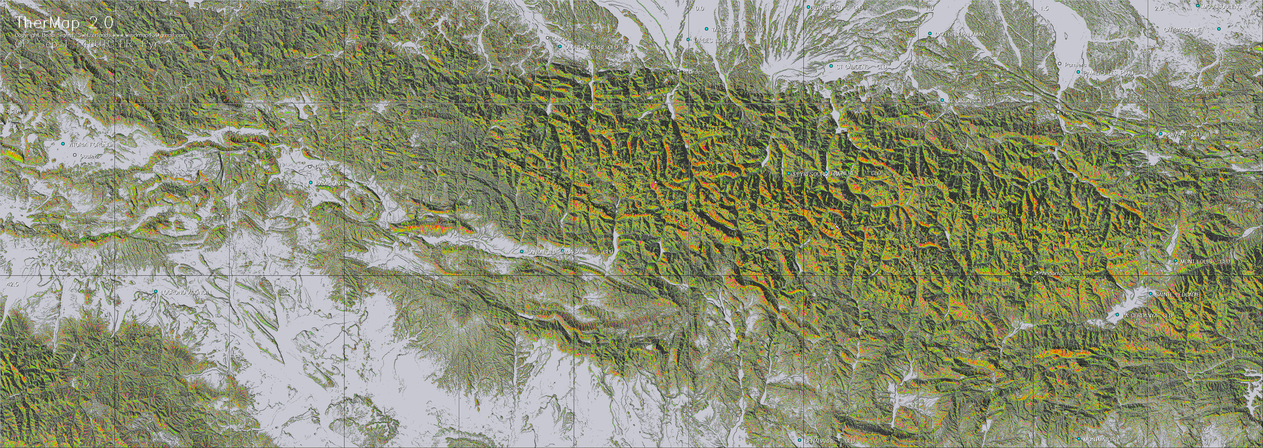
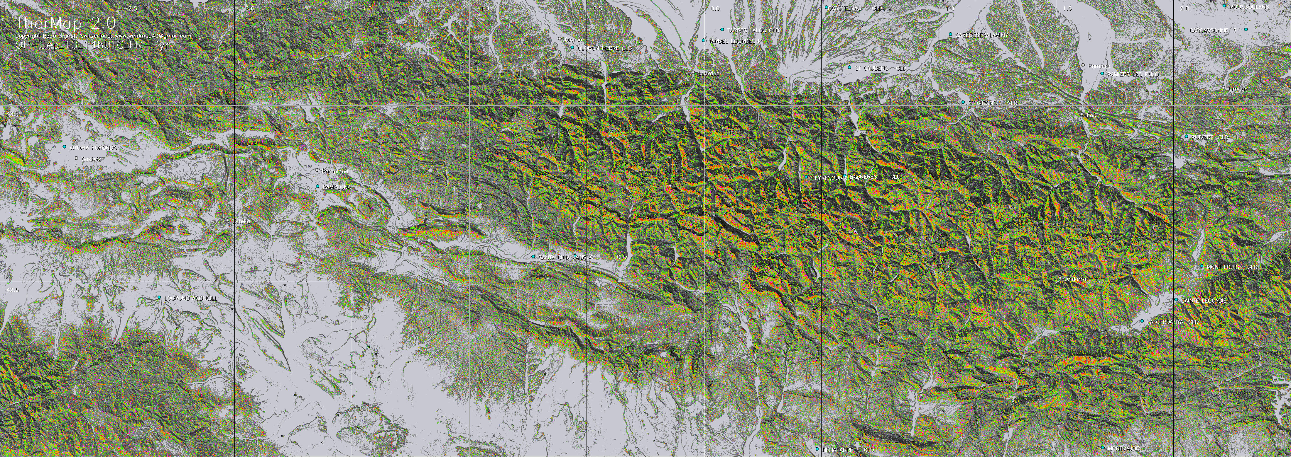
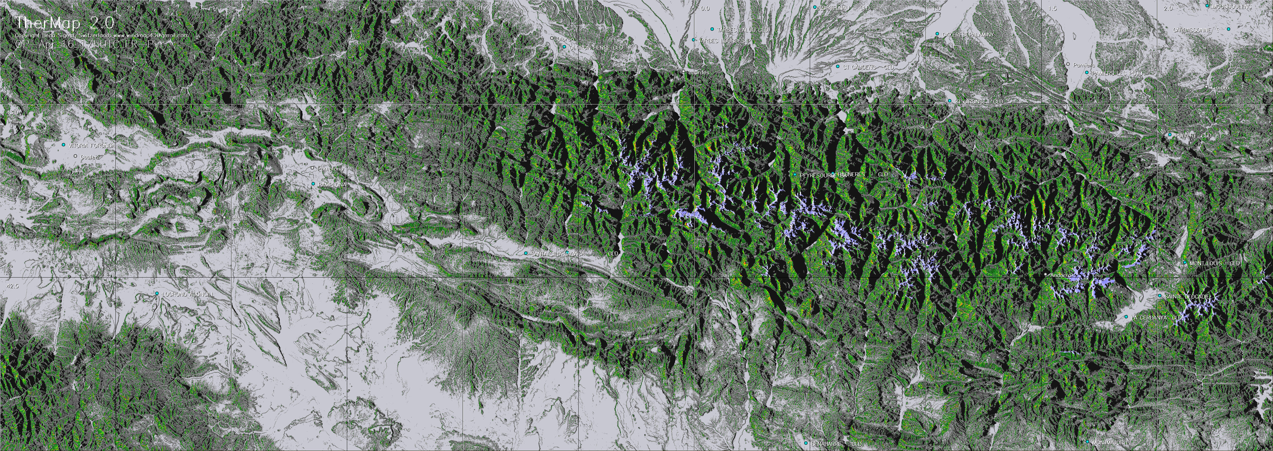
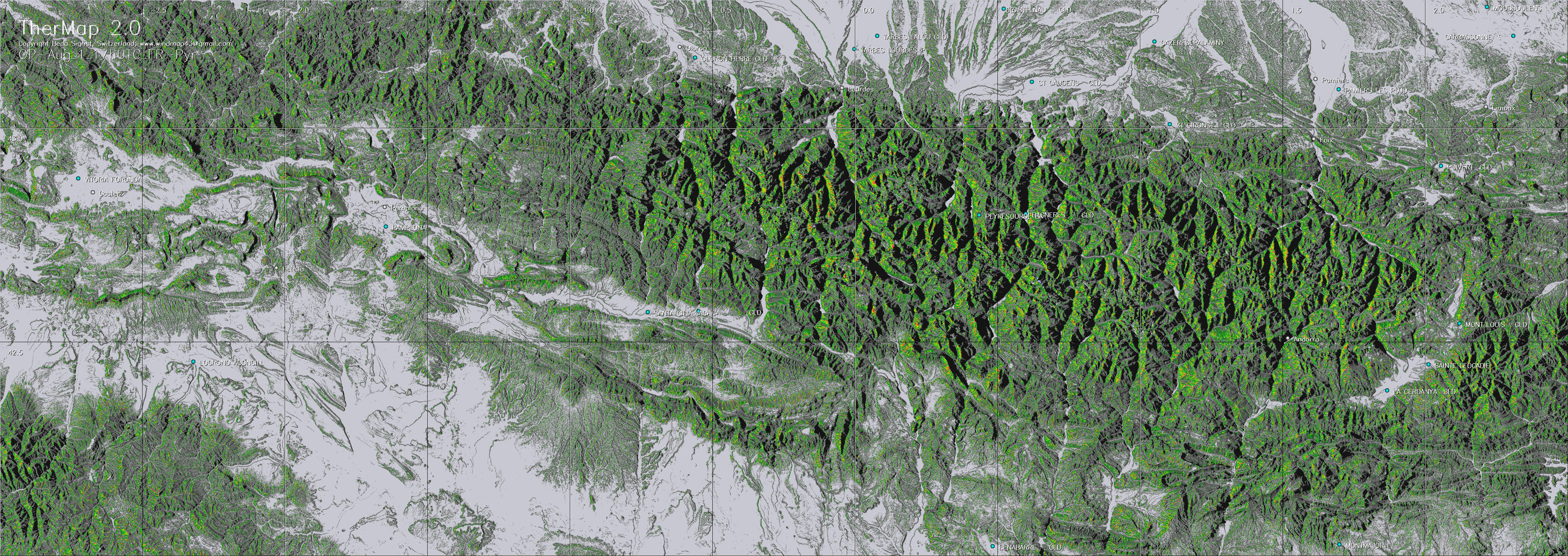
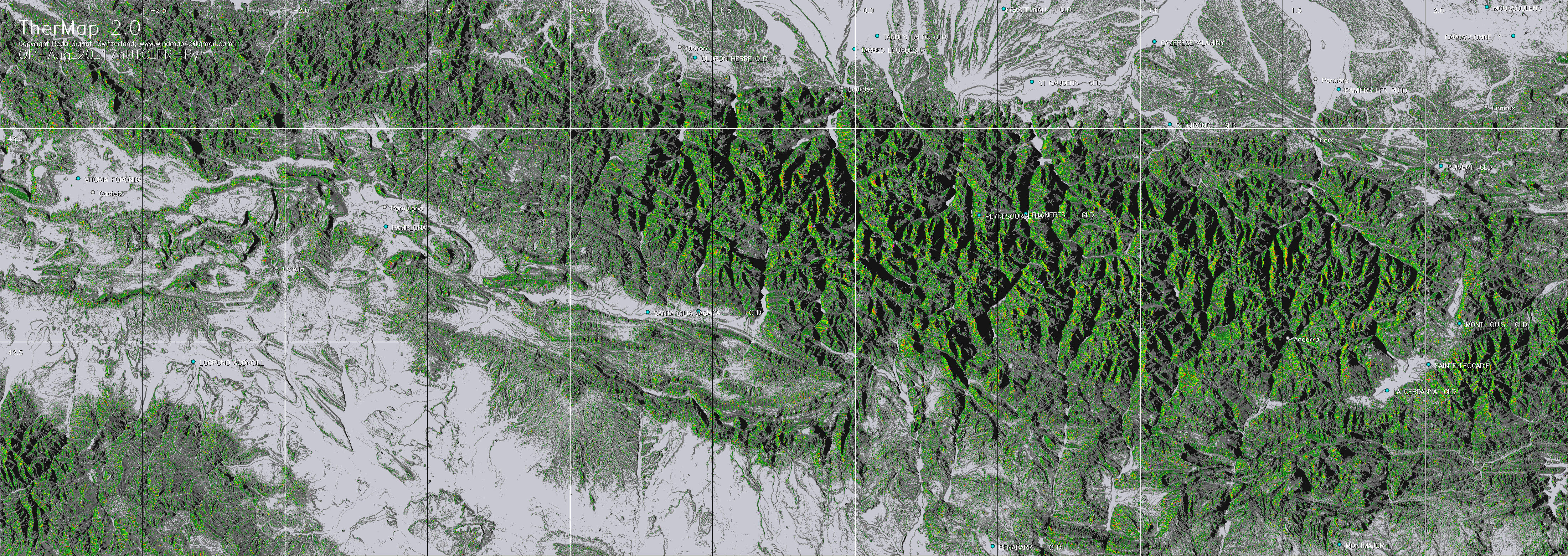
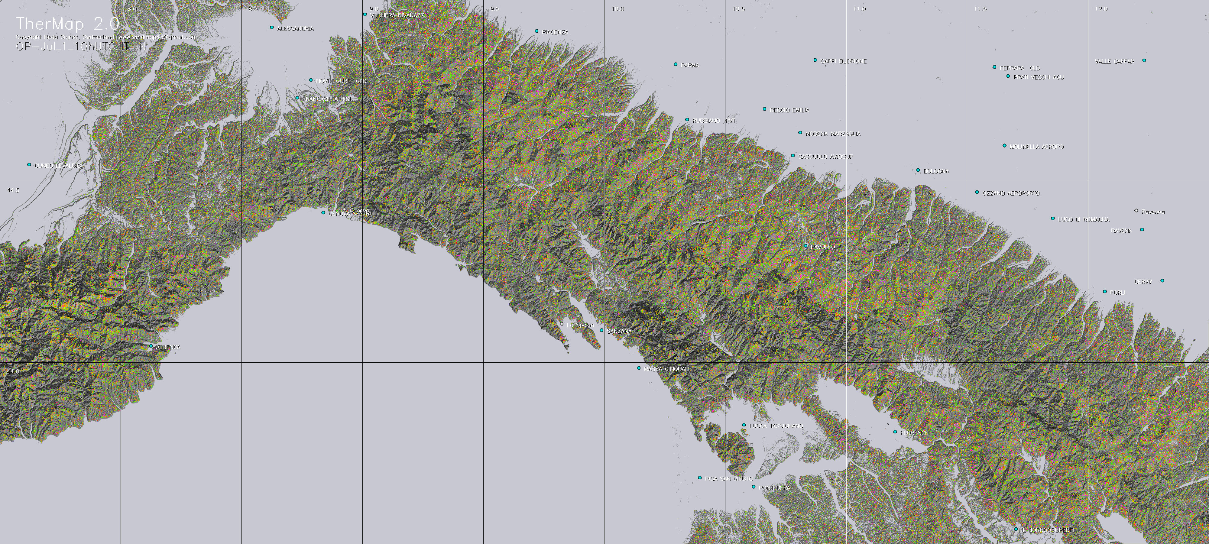
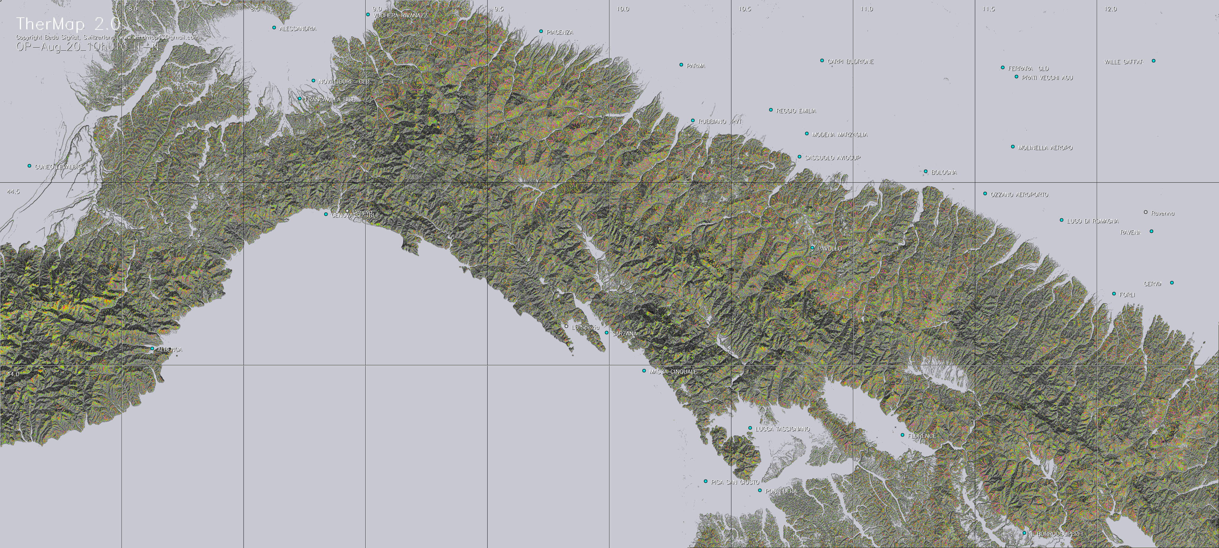
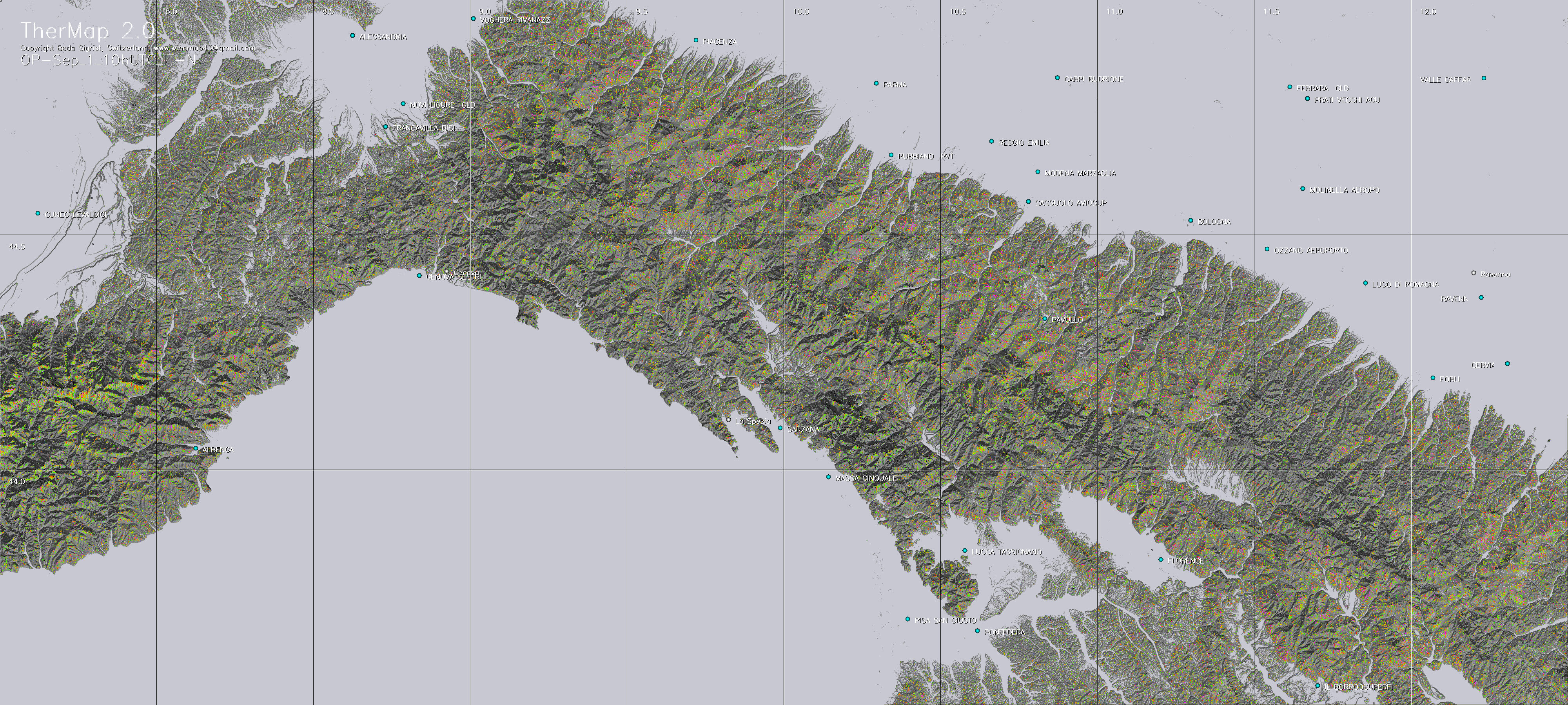
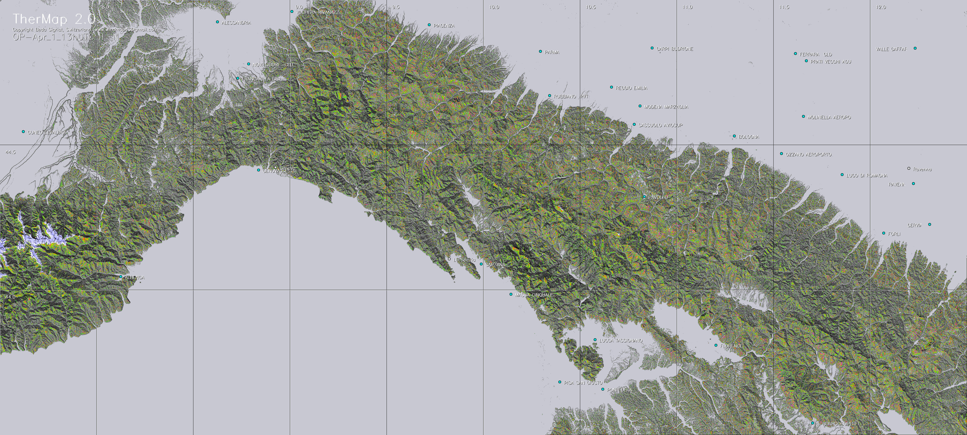
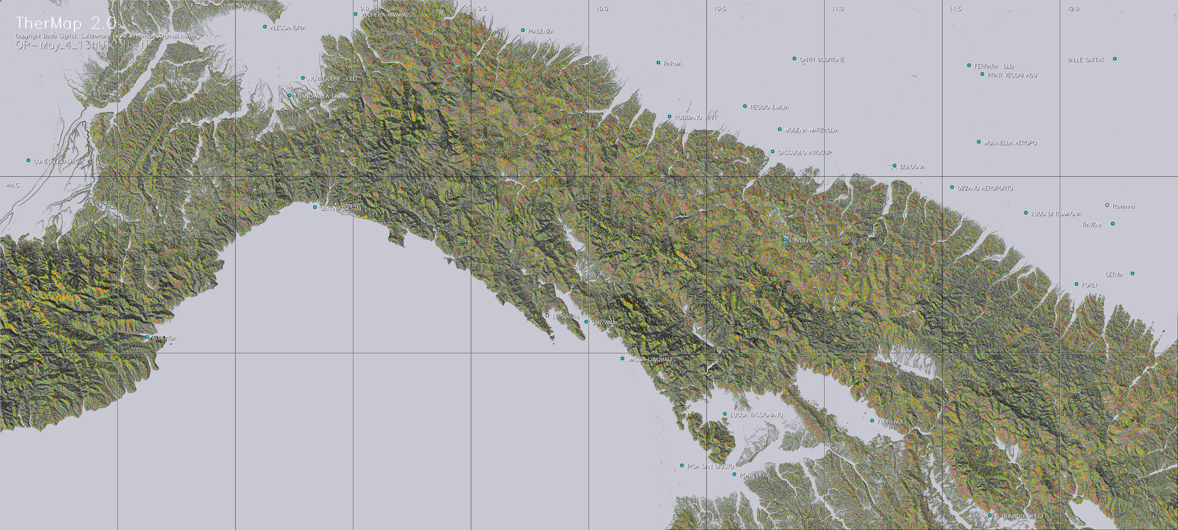
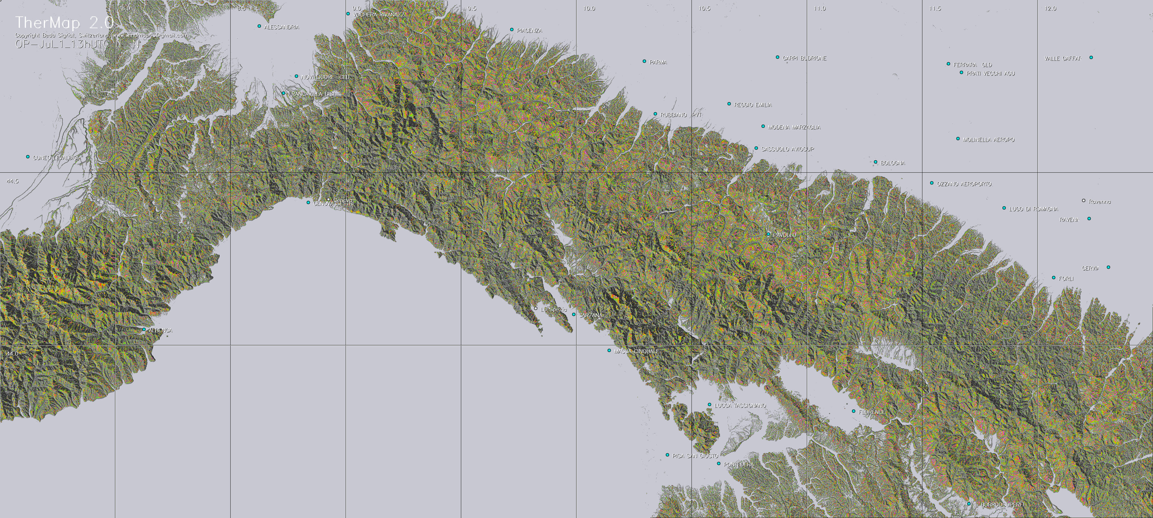
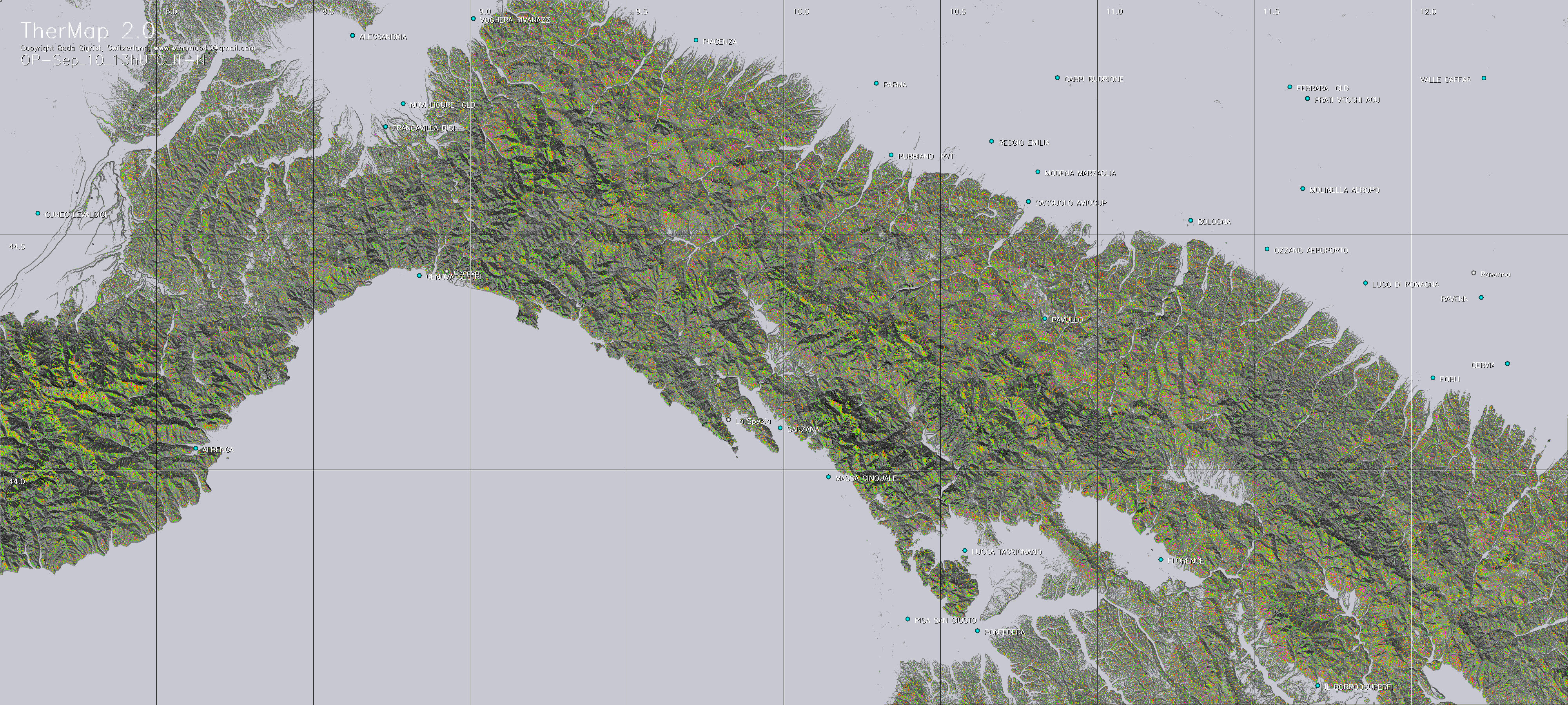
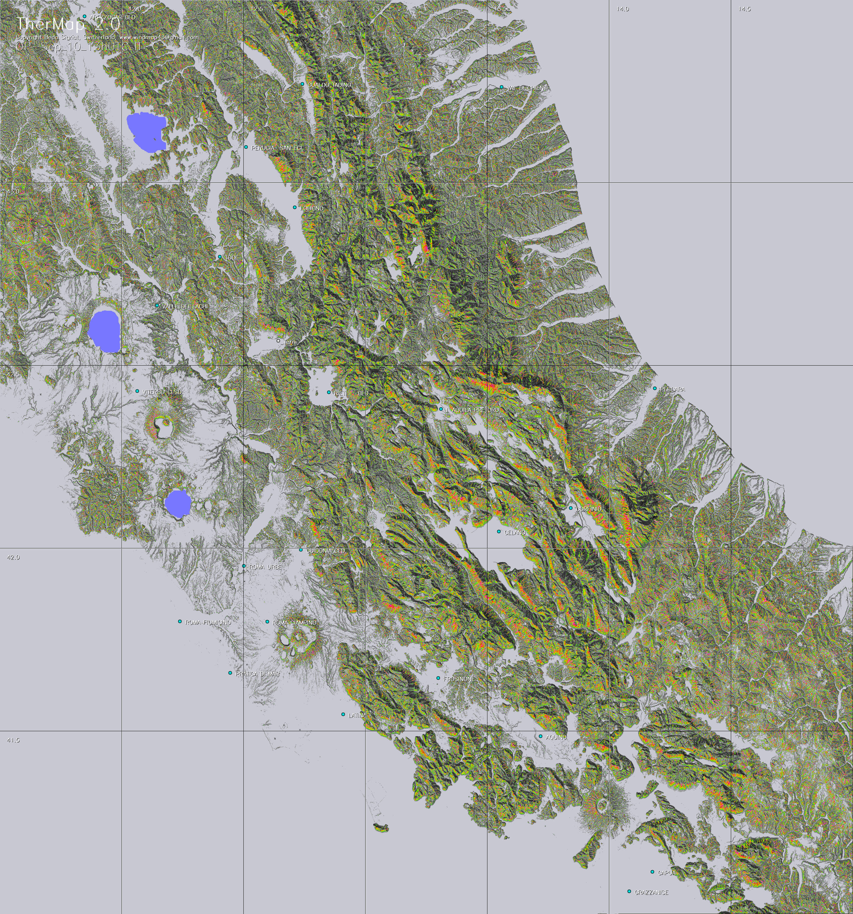
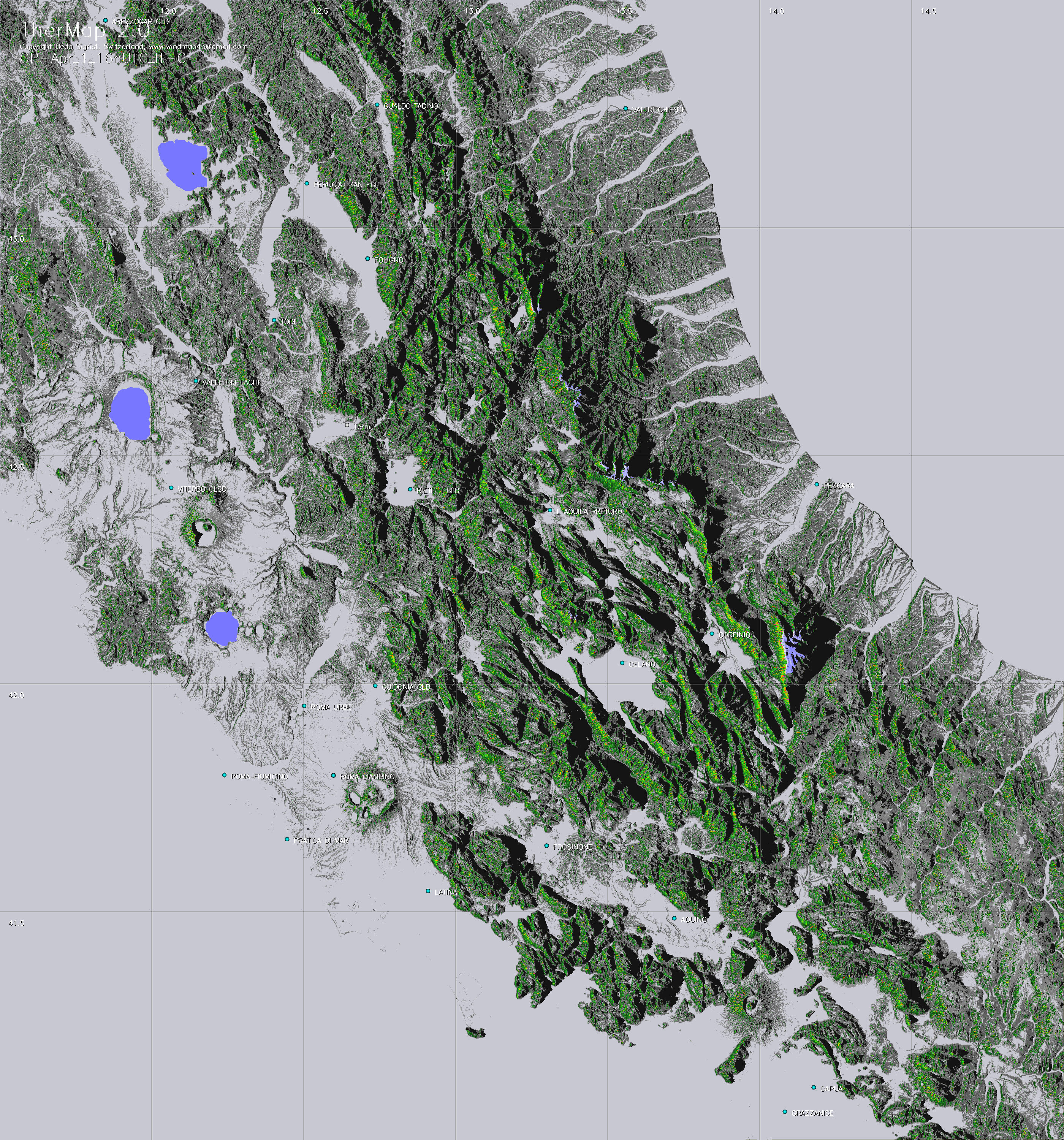
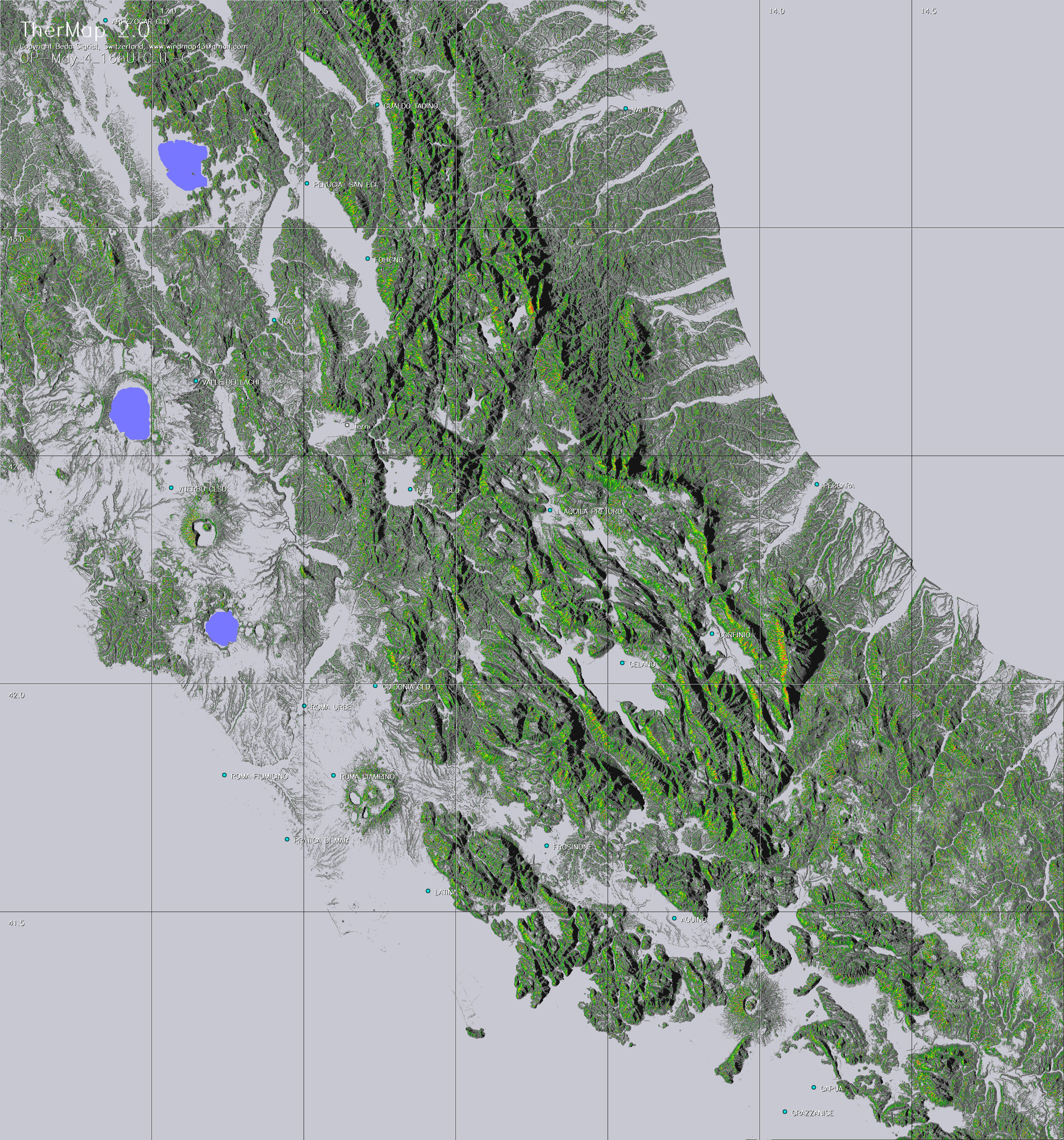
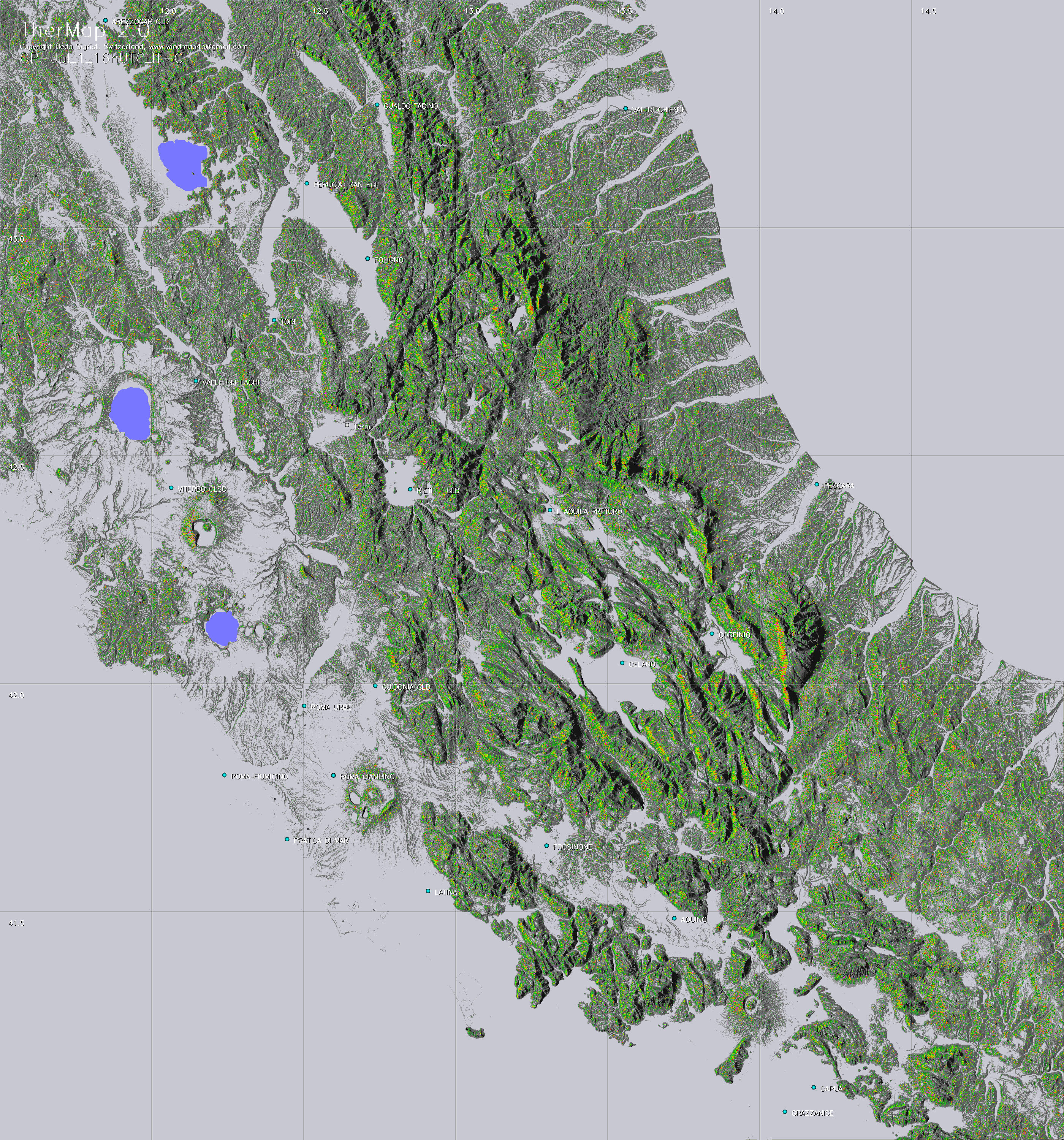
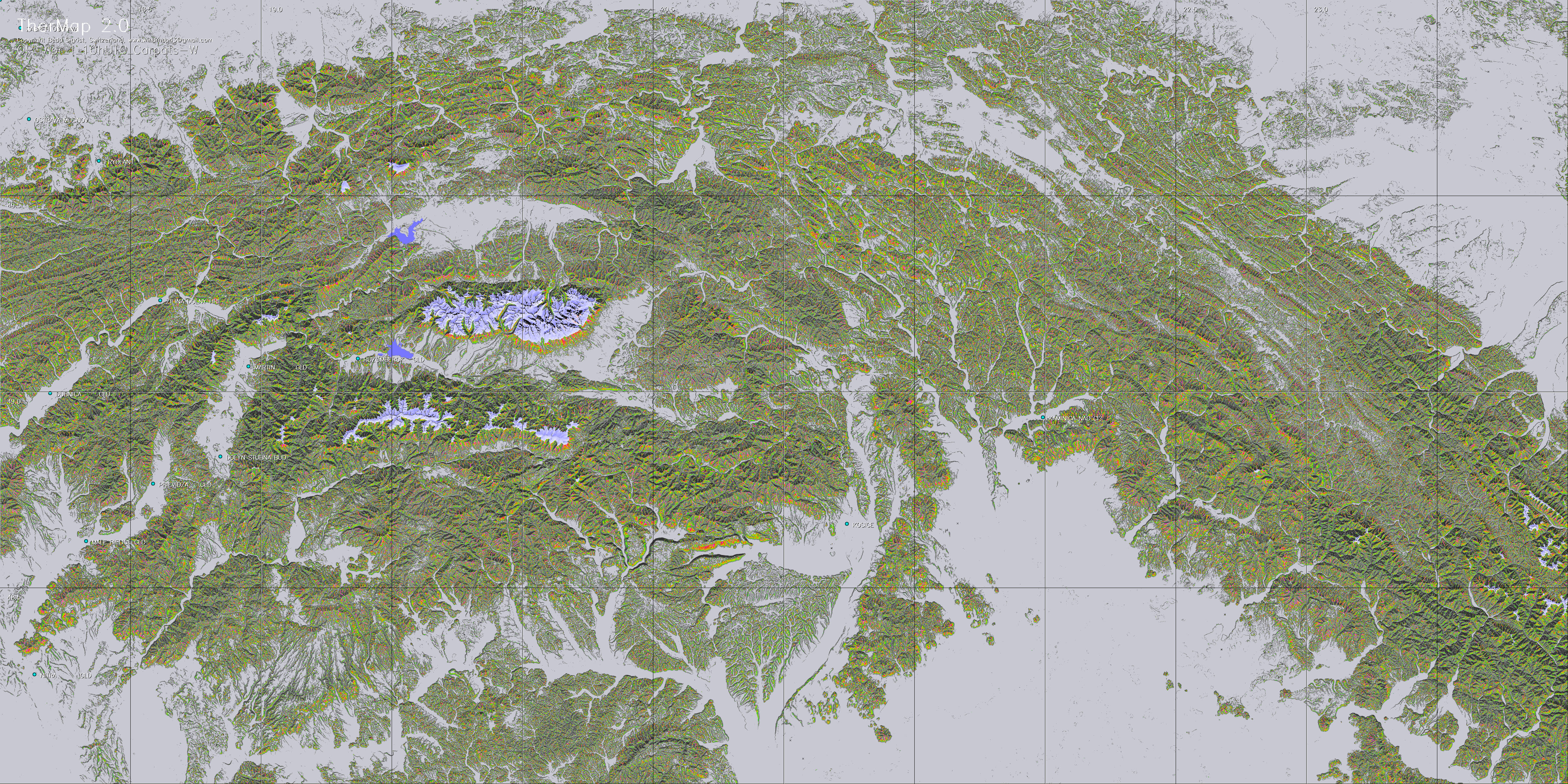
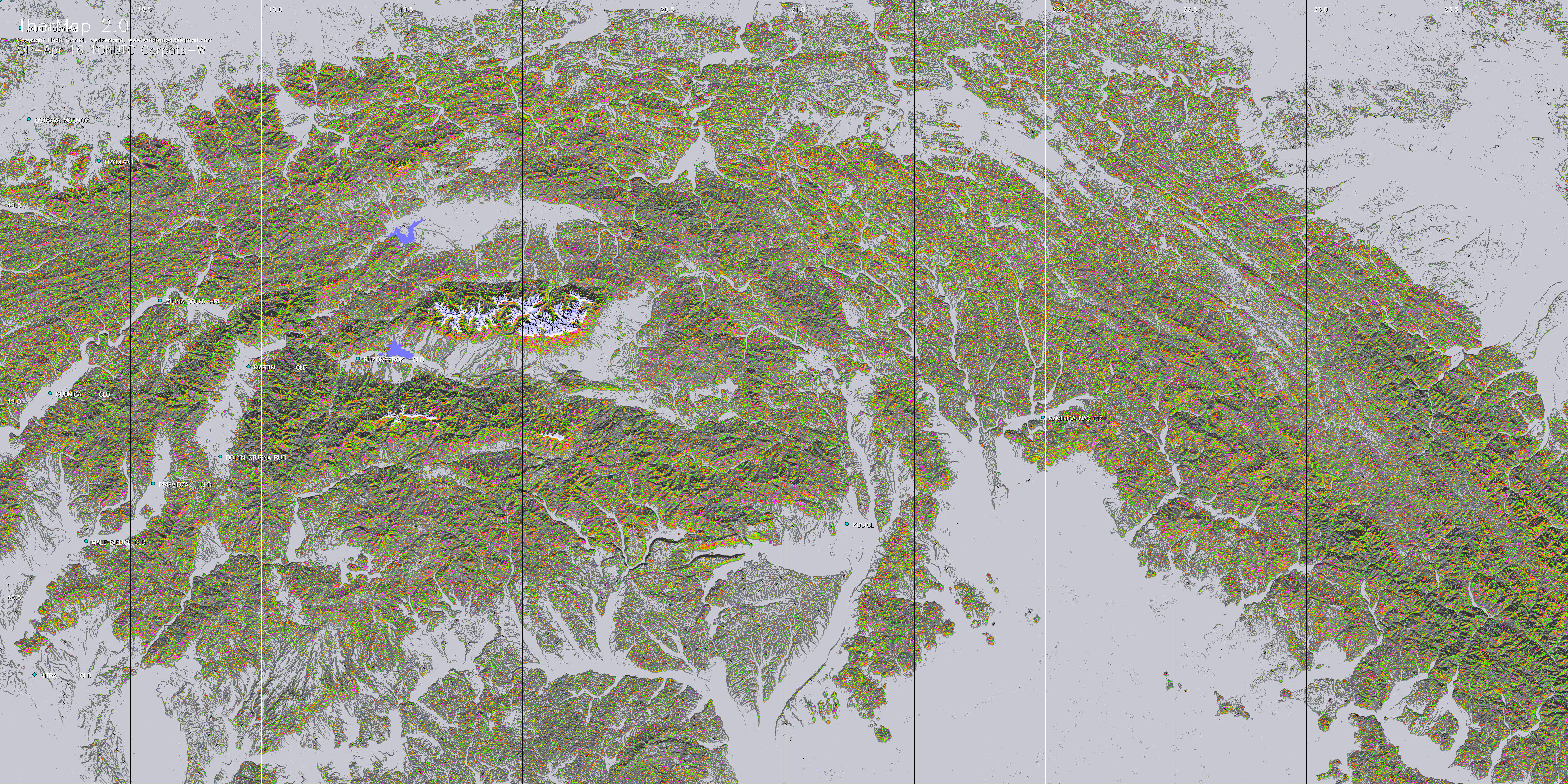
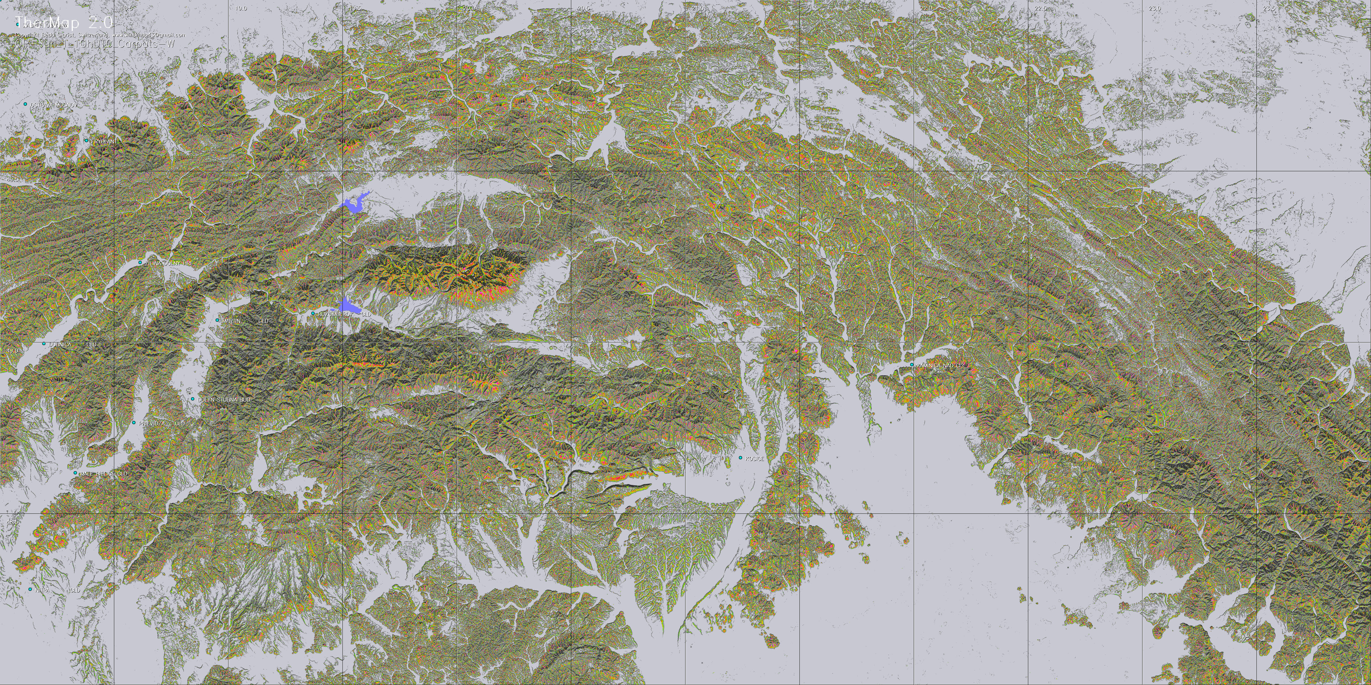
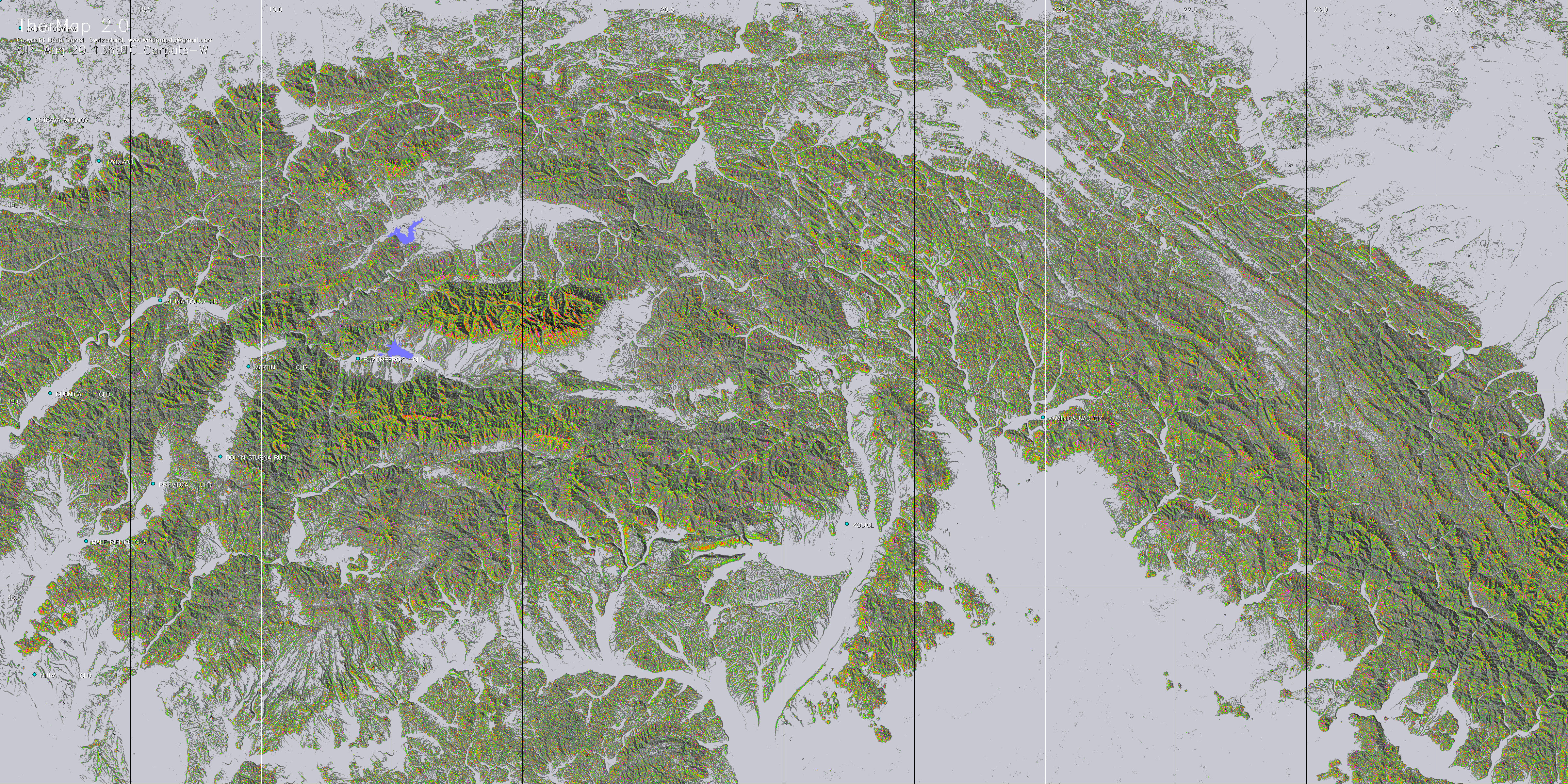
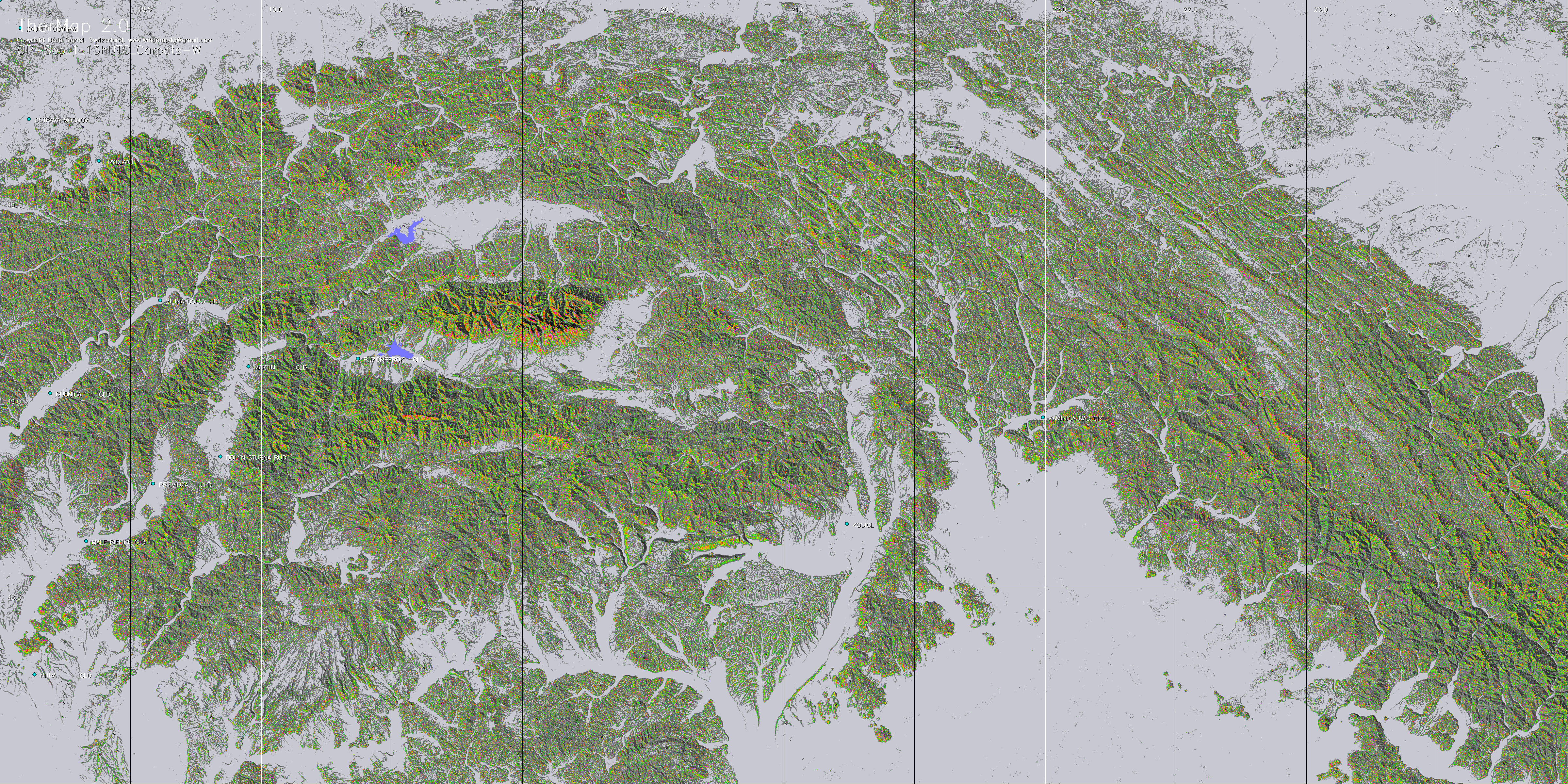
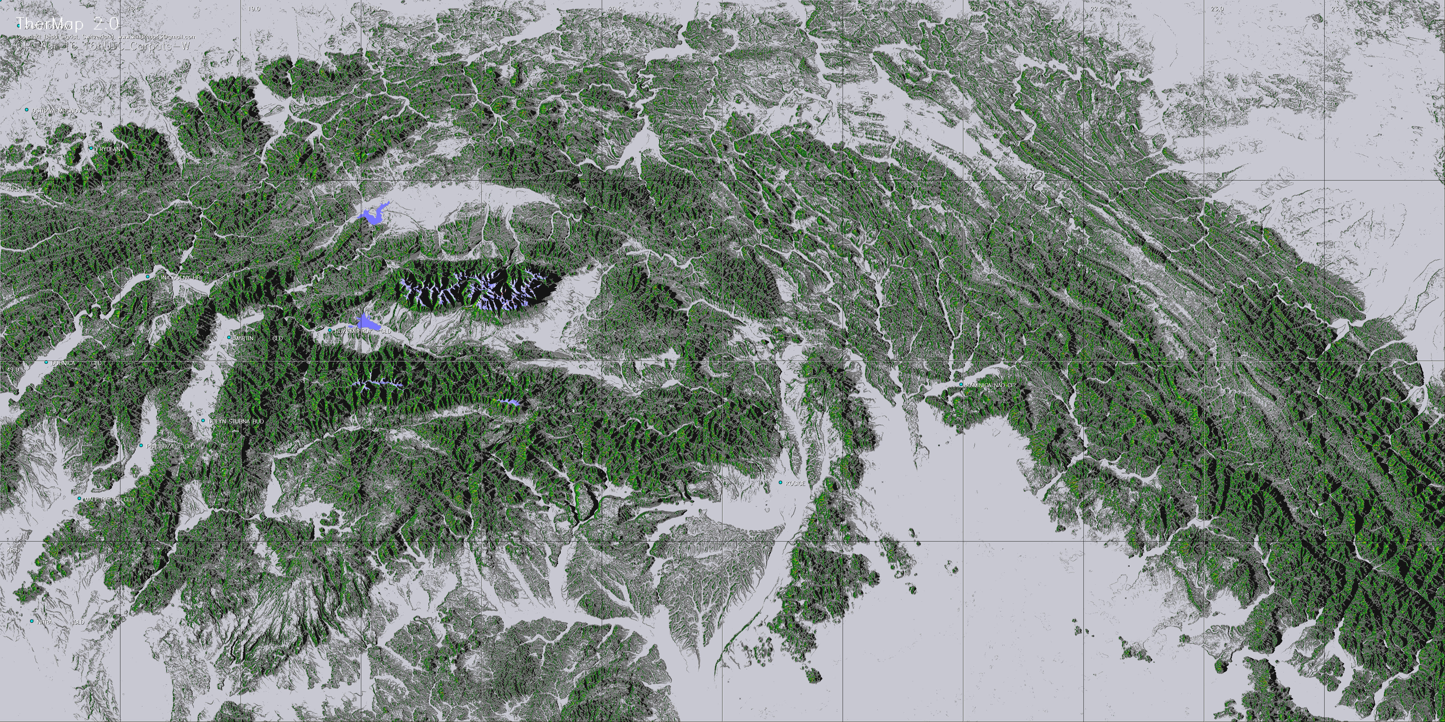
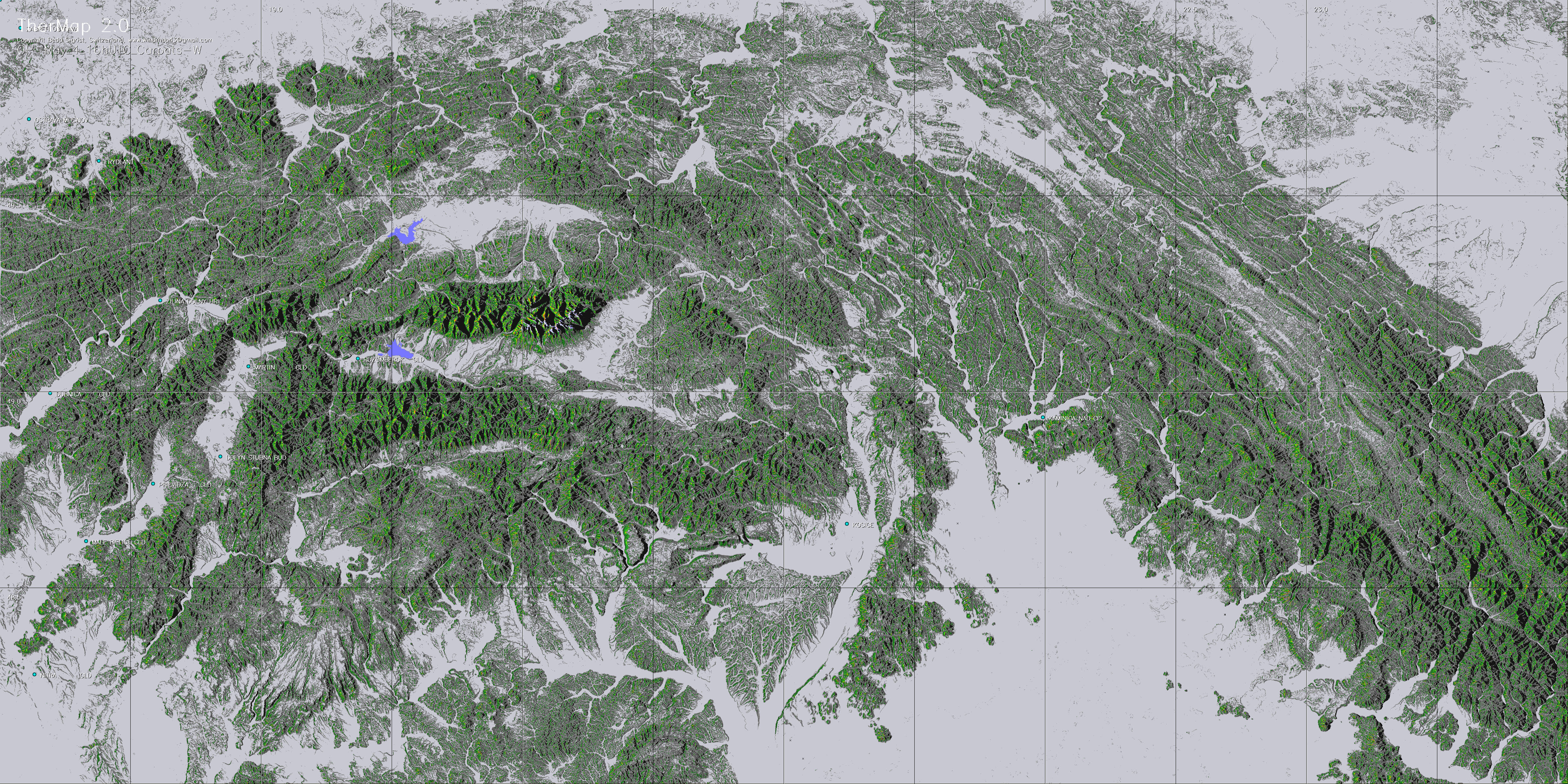
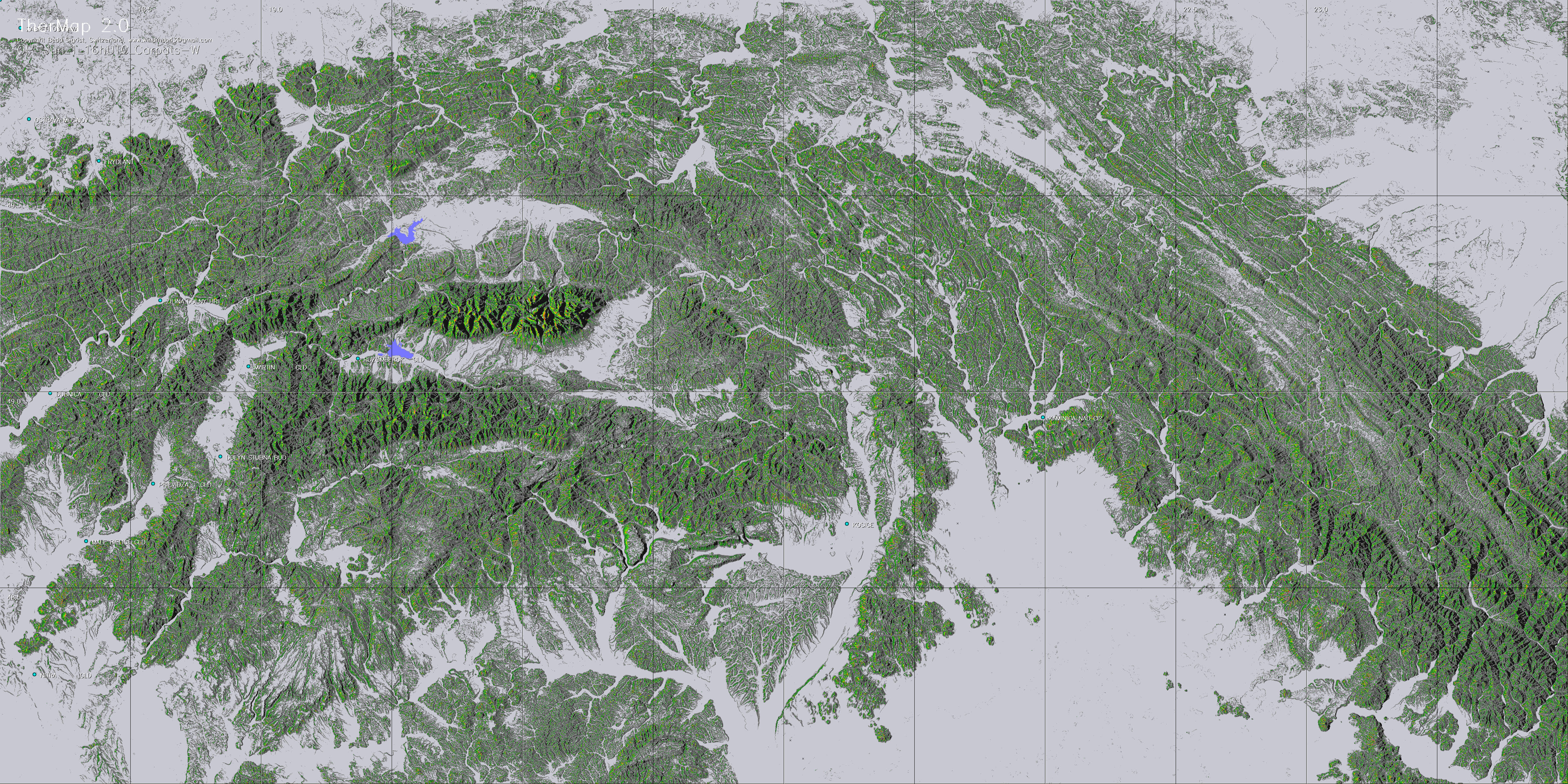
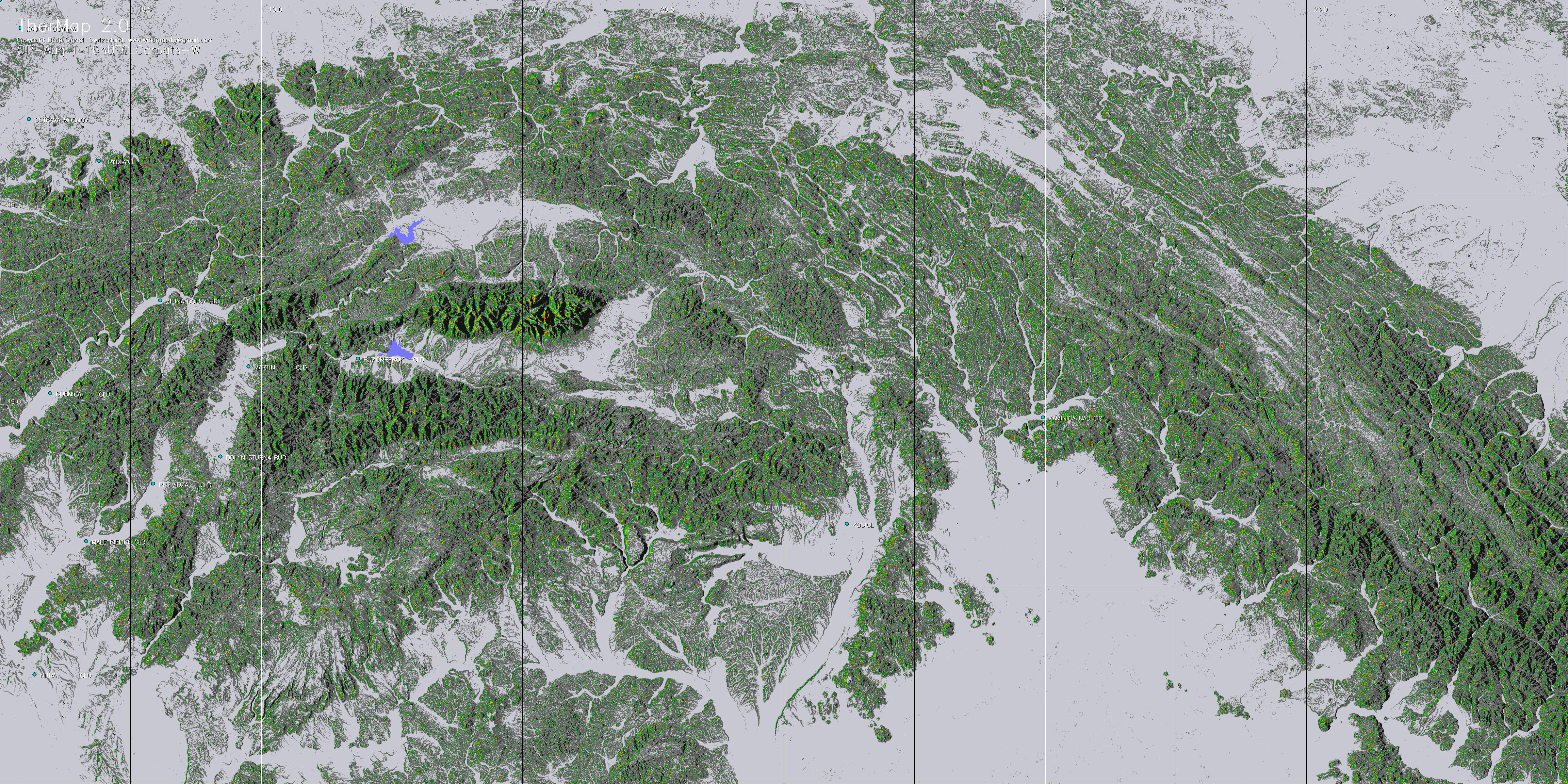
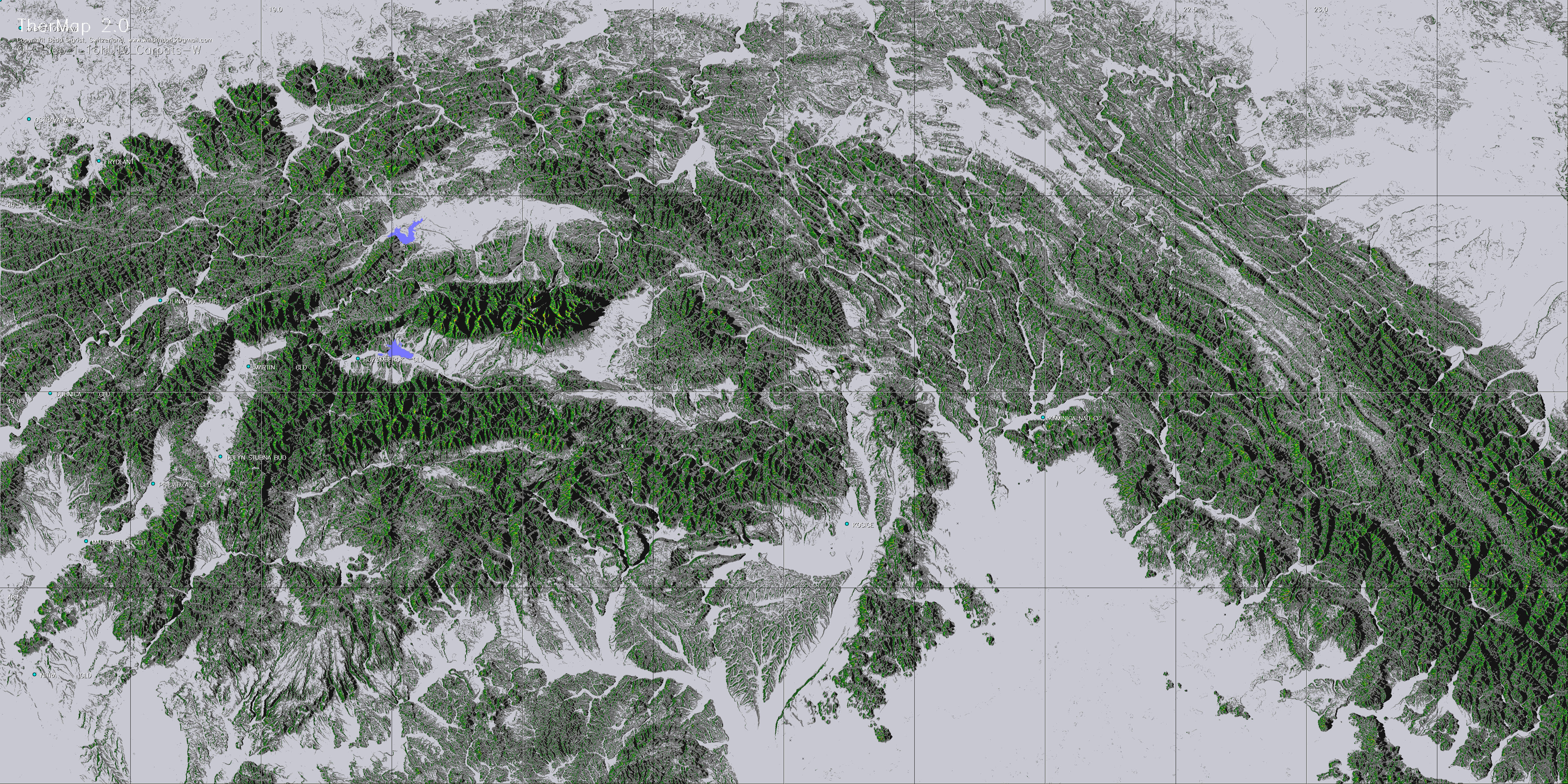
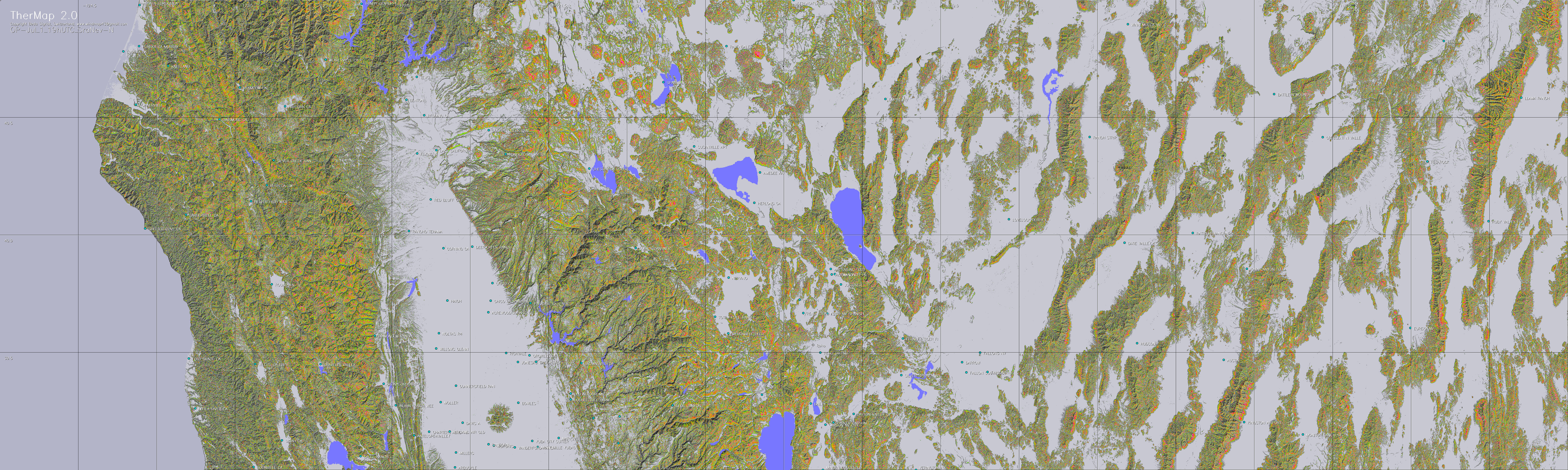
Each of the OK fields of the following table represents a map of a region at a given date and time. Select the one closest to your flight path. (about 6-10 Mb per JPG map). Then either
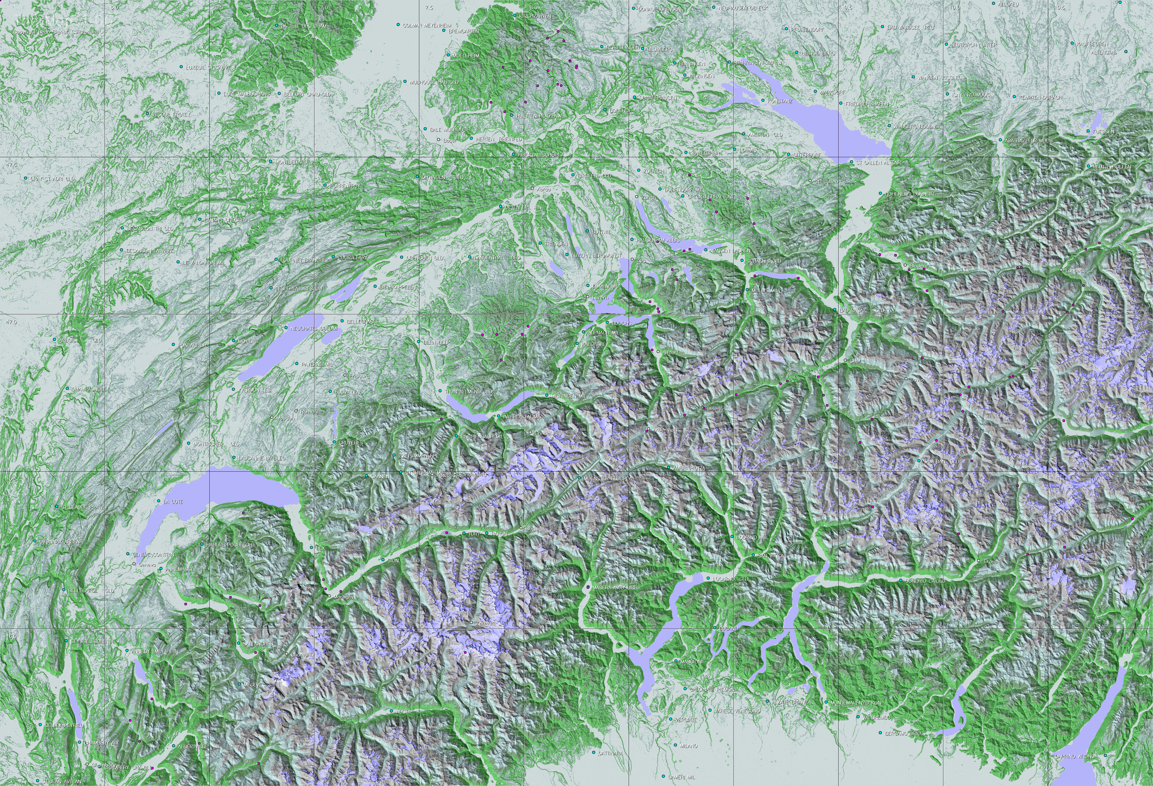
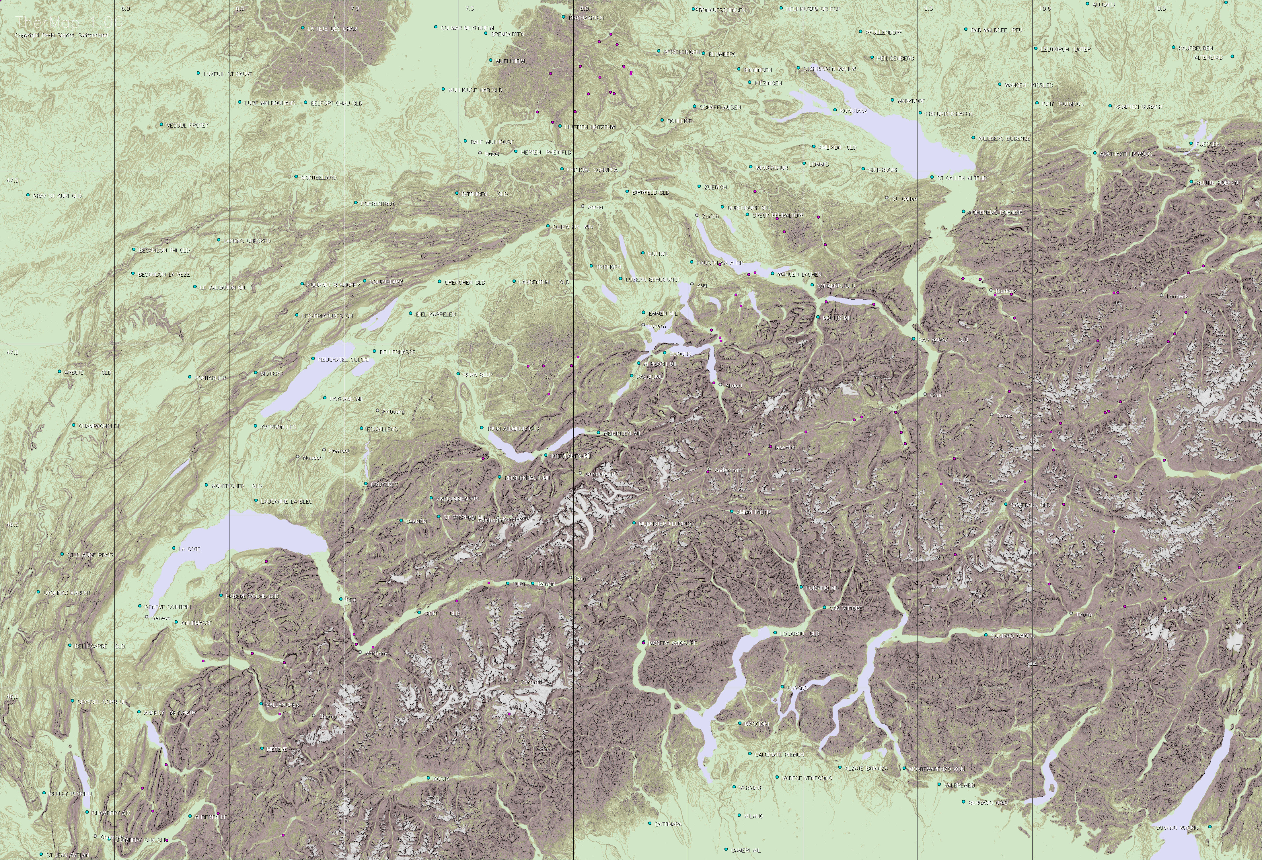
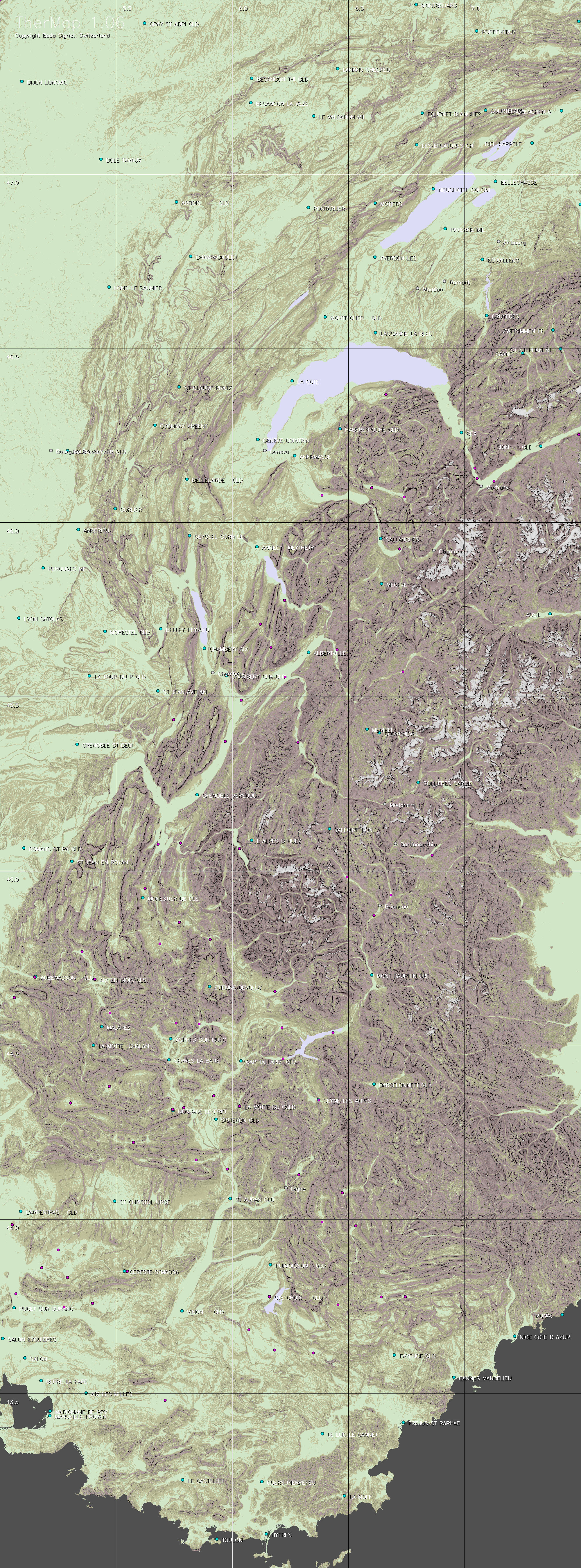
The complementary maps either
show the basic topography or the slope determined view of the region.
| ||||||||||||||||||||||||||||||||||||||||||||||||||||||||||||||||||||||||||||||||||||||||||||||||||||||||||||||||||||||||||||||||||||||||||||||||||||||||||||||||||||||||||||||||||||||||||||||||||||||||||||||||||||||||||||||||||||||||||||||||||||||||||||||||||||||||||||||||||||||||||||||||||||||||||||||||||||||||||||||||||||||||||||||||||||||||||||||||||||||||||||||||||||||||||||||||||||||||||||||||||||||||
|
Société
d'aviation de la Gruyère S.A. CH-1663 Epagny Tél:++41.(0)26.921.00.40
/ Fax:++41.(0)26.921.00.44 |